1139 Lindsey Rd Unit 217 Springfield, OH 45503
Estimated Value: $185,000 - $208,000
2
Beds
2
Baths
1,300
Sq Ft
$152/Sq Ft
Est. Value
About This Home
This home is located at 1139 Lindsey Rd Unit 217, Springfield, OH 45503 and is currently estimated at $197,712, approximately $152 per square foot. 1139 Lindsey Rd Unit 217 is a home located in Clark County with nearby schools including Rolling Hills Elementary School, Northridge Middle School, and Kenton Ridge Middle & High School.
Ownership History
Date
Name
Owned For
Owner Type
Purchase Details
Closed on
Mar 27, 2023
Sold by
Neuhardt Kenneth
Bought by
Mcguff Maureen A
Current Estimated Value
Purchase Details
Closed on
Dec 22, 2003
Sold by
Workman Charles O and Workman Karen S
Bought by
Neuhardt Kenneth and Neuhardt Christine
Home Financials for this Owner
Home Financials are based on the most recent Mortgage that was taken out on this home.
Original Mortgage
$70,500
Interest Rate
6.04%
Mortgage Type
Purchase Money Mortgage
Create a Home Valuation Report for This Property
The Home Valuation Report is an in-depth analysis detailing your home's value as well as a comparison with similar homes in the area
Home Values in the Area
Average Home Value in this Area
Purchase History
| Date | Buyer | Sale Price | Title Company |
|---|---|---|---|
| Mcguff Maureen A | -- | -- | |
| Mcguff Maureen A | -- | None Listed On Document | |
| Neuhardt Kenneth | $94,000 | -- |
Source: Public Records
Mortgage History
| Date | Status | Borrower | Loan Amount |
|---|---|---|---|
| Previous Owner | Neuhardt Kenneth | $70,500 |
Source: Public Records
Tax History Compared to Growth
Tax History
| Year | Tax Paid | Tax Assessment Tax Assessment Total Assessment is a certain percentage of the fair market value that is determined by local assessors to be the total taxable value of land and additions on the property. | Land | Improvement |
|---|---|---|---|---|
| 2024 | $1,635 | $39,000 | $6,300 | $32,700 |
| 2023 | $1,635 | $39,000 | $6,300 | $32,700 |
| 2022 | $2,544 | $39,000 | $6,300 | $32,700 |
| 2021 | $1,689 | $34,440 | $5,250 | $29,190 |
| 2020 | $1,691 | $34,440 | $5,250 | $29,190 |
| 2019 | $1,725 | $34,440 | $5,250 | $29,190 |
| 2018 | $1,606 | $30,980 | $5,570 | $25,410 |
| 2017 | $1,371 | $29,505 | $5,565 | $23,940 |
| 2016 | $1,361 | $29,505 | $5,565 | $23,940 |
| 2015 | $1,221 | $29,190 | $5,250 | $23,940 |
| 2014 | $1,221 | $29,190 | $5,250 | $23,940 |
| 2013 | $1,219 | $29,190 | $5,250 | $23,940 |
Source: Public Records
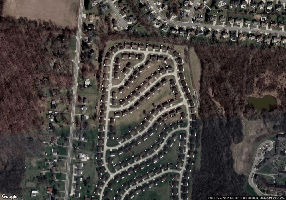
Map
Nearby Homes
- 1148 Foxboro Rd
- 3032 Armsgate Rd Unit 25
- 3029 Bradford Dr Unit 46
- 1162 Kingsgate Rd
- 3631 Kingsgate Ln
- 1509 Kingsgate Rd
- 1501 Kingsgate Rd
- 1732 Falmouth Ave
- 1503 Kingsgate Rd
- 1505 Kingsgate Rd
- 1507 Kingsgate Rd
- 647 Villa Rd Unit A
- 1139 Greenoak Ct
- 1225 Vester Ave
- 542 Villa Rd
- 3229 Bristol Dr
- 1781 Pinehurst Dr
- 3307 Tackett St
- 4109 Derr Rd
- 3129 Haverhill St
- 1137 Lindsey Rd
- 1141 Lindsey Rd
- 1138 Lindsey Rd Unit 227
- 1138 Lindsey Rd
- 1140 Lindsey Rd Unit 228
- 1136 Lindsey Rd Unit 226
- 1143 Lindsey Rd
- 1143 Lindsey Rd Unit 2115
- 1135 Lindsey Rd Unit 219
- 1144 Foxboro Rd
- 1144 Foxboro Rd Unit 206
- 1142 Lindsey Rd
- 1146 Foxboro Rd
- 1142 Foxboro Rd Unit 205
- 1134 Lindsey Rd Unit 225
- 1145 Lindsey Rd Unit 214
- 1133 Lindsey Rd Unit 220
- 1135 Derby Rd
- 1144 Lindsey Rd Unit 230
- 1137 Derby Rd