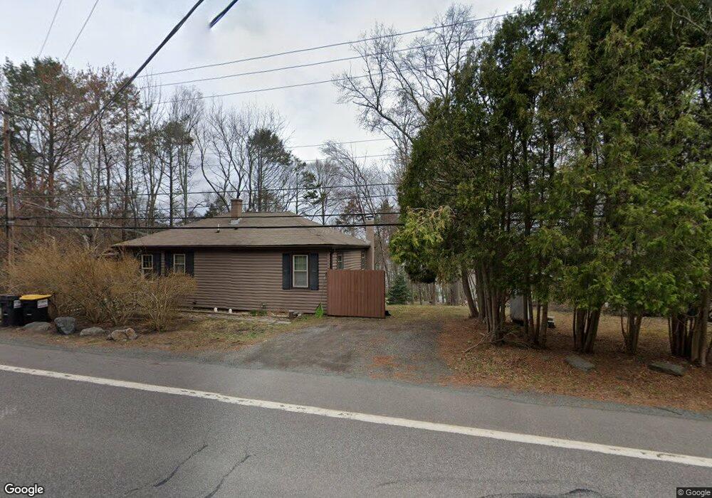
1139 Route 507 Greentown, PA 18426
Estimated Value: $236,718 - $246,000
3
Beds
2
Baths
816
Sq Ft
$296/Sq Ft
Est. Value
About This Home
This home is located at 1139 Route 507, Greentown, PA 18426 and is currently estimated at $241,359, approximately $295 per square foot. 1139 Route 507 is a home with nearby schools including Wallenpaupack Area High School.
Ownership History
Date
Name
Owned For
Owner Type
Purchase Details
Closed on
Jan 13, 2021
Sold by
Chartier Miriam and Chartier Ralph
Bought by
V & M Storage Llc
Current Estimated Value
Home Financials for this Owner
Home Financials are based on the most recent Mortgage that was taken out on this home.
Original Mortgage
$117,600
Outstanding Balance
$85,790
Interest Rate
2.6%
Mortgage Type
Purchase Money Mortgage
Estimated Equity
$155,569
Purchase Details
Closed on
May 15, 2009
Sold by
Secretary Of Hod
Bought by
Chartier Miriam
Purchase Details
Closed on
Dec 18, 2008
Sold by
Midfirst Bank
Bought by
The Secretary Of Hud
Create a Home Valuation Report for This Property
The Home Valuation Report is an in-depth analysis detailing your home's value as well as a comparison with similar homes in the area
Home Values in the Area
Average Home Value in this Area
Purchase History
| Date | Buyer | Sale Price | Title Company |
|---|---|---|---|
| V & M Storage Llc | $150,000 | Ambassador Abstract Co Inc | |
| Chartier Miriam | $55,000 | None Available | |
| The Secretary Of Hud | -- | None Available |
Source: Public Records
Mortgage History
| Date | Status | Borrower | Loan Amount |
|---|---|---|---|
| Open | V & M Storage Llc | $117,600 |
Source: Public Records
Tax History Compared to Growth
Tax History
| Year | Tax Paid | Tax Assessment Tax Assessment Total Assessment is a certain percentage of the fair market value that is determined by local assessors to be the total taxable value of land and additions on the property. | Land | Improvement |
|---|---|---|---|---|
| 2025 | $1,740 | $15,580 | $2,600 | $12,980 |
| 2024 | $1,740 | $15,580 | $2,600 | $12,980 |
| 2023 | $1,674 | $15,580 | $2,600 | $12,980 |
| 2022 | $1,635 | $15,580 | $2,600 | $12,980 |
| 2021 | $1,588 | $15,580 | $2,600 | $12,980 |
| 2020 | $1,588 | $15,580 | $2,600 | $12,980 |
| 2019 | $1,537 | $15,580 | $2,600 | $12,980 |
| 2018 | $1,496 | $15,580 | $2,600 | $12,980 |
| 2017 | $1,440 | $15,580 | $2,600 | $12,980 |
| 2016 | $0 | $15,580 | $2,600 | $12,980 |
| 2014 | -- | $15,580 | $2,600 | $12,980 |
Source: Public Records
Map
Nearby Homes
- 133 W Hemlock Dr
- 116 Beechwood Cove Rd
- 112 Beechwood Cove Rd
- 202 Lennon Rd
- 103 Schrenk Dr
- 116 & 118 Falcon Crest
- 108 Falcon Crest
- Lot 415R Summit Dr
- 109 Paupack Rd
- 165 Pennwood Dr
- 103 Elm Ln
- 101 Elm Ln
- 0 Colonial Ln
- 117 N Maple Ln
- 47 S Shore Dr
- 103 W Pine Ln
- 0 Grasshopper Ln
- 1474 Lakeland Dr
- 122 Waterfront Dr
- 101 Gum Terrace
- 507 Green Hill Rd
- 1138 Route 507
- 106 Al Wa da Ct
- 85 Kelesh Dr
- 1140 Route 507
- 101 Kelesh Dr
- 1135 Route 507
- 103 Kelesh Dr
- 106 Alwada 1st St
- 101 Al Wa da E
- 43 Al Wa da Cir
- 28 W Alwada
- 61 W Alwada
- 114 Bartleson Deer Trail
- 135 Al Wa da E
- 109 Kelesh Dr
- 104 W Alwada Rd
- 107 Al Wa da Cir
- 129 Al Wa da E
- 127 Al Wa da E