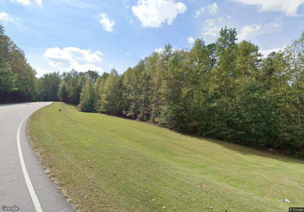
11390 Highway 19 N Dahlonega, GA 30533
Estimated Value: $315,736 - $428,000
--
Bed
3
Baths
1,165
Sq Ft
$313/Sq Ft
Est. Value
About This Home
This home is located at 11390 Highway 19 N, Dahlonega, GA 30533 and is currently estimated at $364,934, approximately $313 per square foot. 11390 Highway 19 N is a home located in Lumpkin County with nearby schools including Lumpkin County High School.
Ownership History
Date
Name
Owned For
Owner Type
Purchase Details
Closed on
Jul 5, 2022
Sold by
Phelps Deborah Anne
Bought by
Phelps Deborah A and Deborah A Phelps Tr
Current Estimated Value
Purchase Details
Closed on
Dec 22, 2021
Sold by
Littlepage Rocky L
Bought by
Phelps Steven Charles and Phelps Deborah Anne
Home Financials for this Owner
Home Financials are based on the most recent Mortgage that was taken out on this home.
Original Mortgage
$500,000
Interest Rate
3.12%
Mortgage Type
New Conventional
Purchase Details
Closed on
Mar 30, 2004
Sold by
Gilliam Stephen E
Bought by
Littlepage Rocky L
Purchase Details
Closed on
Apr 29, 1996
Bought by
Gilliam Stephen E
Create a Home Valuation Report for This Property
The Home Valuation Report is an in-depth analysis detailing your home's value as well as a comparison with similar homes in the area
Home Values in the Area
Average Home Value in this Area
Purchase History
| Date | Buyer | Sale Price | Title Company |
|---|---|---|---|
| Phelps Deborah A | $163,655 | -- | |
| Phelps Steven Charles | $500,000 | -- | |
| Littlepage Rocky L | $189,900 | -- | |
| Gilliam Stephen E | $66,000 | -- |
Source: Public Records
Mortgage History
| Date | Status | Borrower | Loan Amount |
|---|---|---|---|
| Previous Owner | Phelps Steven Charles | $500,000 |
Source: Public Records
Tax History Compared to Growth
Tax History
| Year | Tax Paid | Tax Assessment Tax Assessment Total Assessment is a certain percentage of the fair market value that is determined by local assessors to be the total taxable value of land and additions on the property. | Land | Improvement |
|---|---|---|---|---|
| 2024 | $2,429 | $101,295 | $13,290 | $88,005 |
| 2023 | $2,218 | $94,292 | $12,420 | $81,872 |
| 2022 | $1,928 | $77,868 | $10,350 | $67,518 |
| 2021 | $1,625 | $65,462 | $10,350 | $55,112 |
| 2020 | $1,620 | $63,411 | $9,918 | $53,493 |
| 2019 | $1,635 | $63,411 | $9,918 | $53,493 |
| 2018 | $1,566 | $57,180 | $9,918 | $47,262 |
| 2017 | $1,510 | $54,206 | $9,918 | $44,288 |
| 2016 | $1,384 | $48,281 | $9,918 | $38,363 |
| 2015 | $1,242 | $48,281 | $9,918 | $38,363 |
| 2014 | $1,242 | $49,110 | $9,918 | $39,192 |
| 2013 | -- | $49,524 | $9,918 | $39,606 |
Source: Public Records
Map
Nearby Homes
- 11161 Highway 19 N
- 0 Damascus Church Rd Unit 21674636
- 31 Pine Rd
- 180 Alonzo Cain Rd
- 0 Ts Jarrard Rd Unit Tract 3
- 129 Pine Rd
- T S T S Jarrard Rd
- 412 Fireside Ridge Dr
- 133 Elkmont Dr
- 134 Elkmont Dr
- 265 Hound Dog Ln
- 748 Damascus Church Rd
- 86 Yonah View
- 105 Yonah View
- 399 Ranch Mountain Dr
- 124 Candy Man Ln
- 310 Highland Trail
- 105 Ranch Mountain Ct
- 2717 Damascus Church Rd
- 0 Highway 129 N Unit 10656269
- 24 Empire Dr
- 11449 U S 19
- 11449 Highway 19 N Unit 1A
- 11449 Highway 19 N
- 11457 Highway 19 N
- 35 Briar Rose Ln
- 11297 Highway 19 N
- 0 Empire Dr Unit 8086424
- 95 Corbin Ln
- 0 Corbin Ln Unit 4 8398263
- 4 Corbin Ln
- 0 Corbin Ln Unit 8321495
- 5 Corbin Ln
- 0 Corbin Ln Unit 5961638
- 5 Corbin Ln Unit A,B
- 0 Corbin Ln Unit 10049643
- 0 Corbin Ln Unit 7048801
- 0 Corbin Ln Unit 7 8218836
- 0 Corbin Ln Unit 8 8218845
- 0 Corbin Ln Unit 6663851
