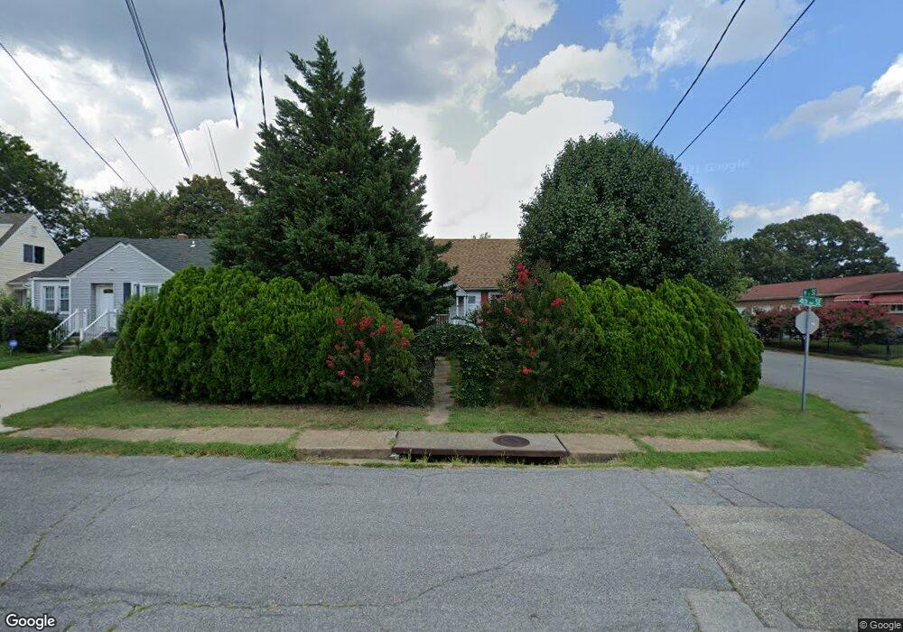
114 4th Ave SE Glen Burnie, MD 21061
Estimated Value: $302,839 - $375,000
--
Bed
1
Bath
1,248
Sq Ft
$275/Sq Ft
Est. Value
About This Home
This home is located at 114 4th Ave SE, Glen Burnie, MD 21061 and is currently estimated at $343,710, approximately $275 per square foot. 114 4th Ave SE is a home located in Anne Arundel County with nearby schools including Richard Henry Lee Elementary School, Corkran Middle School, and Glen Burnie High School.
Ownership History
Date
Name
Owned For
Owner Type
Purchase Details
Closed on
Mar 16, 1999
Sold by
Lemarquand Dorothy M
Bought by
Huber Byron R and Huber Jennifer E
Current Estimated Value
Create a Home Valuation Report for This Property
The Home Valuation Report is an in-depth analysis detailing your home's value as well as a comparison with similar homes in the area
Home Values in the Area
Average Home Value in this Area
Purchase History
| Date | Buyer | Sale Price | Title Company |
|---|---|---|---|
| Huber Byron R | $98,000 | -- |
Source: Public Records
Mortgage History
| Date | Status | Borrower | Loan Amount |
|---|---|---|---|
| Closed | Huber Byron R | -- |
Source: Public Records
Tax History Compared to Growth
Tax History
| Year | Tax Paid | Tax Assessment Tax Assessment Total Assessment is a certain percentage of the fair market value that is determined by local assessors to be the total taxable value of land and additions on the property. | Land | Improvement |
|---|---|---|---|---|
| 2025 | $3,165 | $255,600 | $151,100 | $104,500 |
| 2024 | $3,165 | $243,200 | $0 | $0 |
| 2023 | $2,994 | $230,800 | $0 | $0 |
| 2022 | $2,713 | $218,400 | $131,100 | $87,300 |
| 2021 | $2,573 | $213,667 | $0 | $0 |
| 2020 | $2,573 | $208,933 | $0 | $0 |
| 2019 | $2,525 | $204,200 | $116,100 | $88,100 |
| 2018 | $2,431 | $201,967 | $0 | $0 |
| 2017 | $2,418 | $199,733 | $0 | $0 |
| 2016 | -- | $197,500 | $0 | $0 |
| 2015 | -- | $181,900 | $0 | $0 |
| 2014 | -- | $166,300 | $0 | $0 |
Source: Public Records
Map
Nearby Homes
- 106 3rd Ave SE
- 100 3rd Ave SE
- 707 Delmar Ave
- 108 1st Ave SW
- 102 Kent Rd
- 118 Heather Stone Way Unit 80
- 19 Main Ave SW
- 207 Lincoln Ave SW
- 102 Kuethe Rd NE
- 209 Lincoln Ave SW
- 101 Kuethe Rd NE
- 601 Ashington Rd
- 102 Garrett Rd
- 308 Aquahart Rd
- 125 Range Rd
- 330 New Jersey Ave NE
- 409 Aquahart Rd
- 713 Cotter Rd
- 305 Newfield Rd
- 105 Chestnut Ln