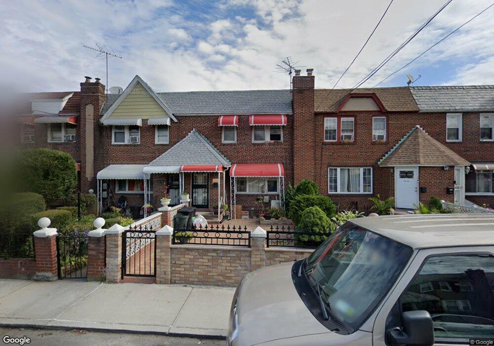
114-61 199th St St. Albans, NY 11412
Saint Albans NeighborhoodEstimated Value: $548,904 - $656,000
3
Beds
1
Bath
1,200
Sq Ft
$507/Sq Ft
Est. Value
About This Home
This home is located at 114-61 199th St, St. Albans, NY 11412 and is currently estimated at $608,726, approximately $507 per square foot. 114-61 199th St is a home located in Queens County with nearby schools including P.S. 136 Roy Wilkins, I.S. 192 The Linden, and True Deliverance Christian School.
Ownership History
Date
Name
Owned For
Owner Type
Purchase Details
Closed on
Aug 15, 1996
Sold by
Smith Louis and Morrison Eula
Bought by
Edwards Keturah
Current Estimated Value
Home Financials for this Owner
Home Financials are based on the most recent Mortgage that was taken out on this home.
Original Mortgage
$100,000
Interest Rate
7.9%
Create a Home Valuation Report for This Property
The Home Valuation Report is an in-depth analysis detailing your home's value as well as a comparison with similar homes in the area
Home Values in the Area
Average Home Value in this Area
Purchase History
| Date | Buyer | Sale Price | Title Company |
|---|---|---|---|
| Edwards Keturah | $107,000 | Commonwealth Land Title Ins |
Source: Public Records
Mortgage History
| Date | Status | Borrower | Loan Amount |
|---|---|---|---|
| Previous Owner | Edwards Keturah | $100,000 |
Source: Public Records
Tax History Compared to Growth
Tax History
| Year | Tax Paid | Tax Assessment Tax Assessment Total Assessment is a certain percentage of the fair market value that is determined by local assessors to be the total taxable value of land and additions on the property. | Land | Improvement |
|---|---|---|---|---|
| 2025 | $4,572 | $25,612 | $7,101 | $18,511 |
| 2024 | $4,584 | $24,163 | $7,977 | $16,186 |
| 2023 | $4,312 | $22,871 | $7,260 | $15,611 |
| 2022 | $4,044 | $30,060 | $10,380 | $19,680 |
| 2021 | $4,270 | $28,500 | $10,380 | $18,120 |
| 2020 | $4,222 | $26,880 | $10,380 | $16,500 |
| 2019 | $3,919 | $26,700 | $10,380 | $16,320 |
| 2018 | $3,588 | $19,059 | $7,668 | $11,391 |
| 2017 | $2,556 | $18,080 | $8,319 | $9,761 |
| 2016 | $3,304 | $18,080 | $8,319 | $9,761 |
| 2015 | $1,837 | $17,786 | $9,155 | $8,631 |
| 2014 | $1,837 | $16,780 | $10,359 | $6,421 |
Source: Public Records
Map
Nearby Homes
- 114-37 199th St
- 114-40 200th St
- 114-62 201st St
- 114-64 198th St
- 114-28 198th St
- 115-47 199th St
- 114-11 200th St
- 114-22 197th St
- 11467 202nd St
- 200-13 116th Ave
- 114-62 203rd St
- 194-56 Murdock Ave
- 194-40 115th Ave
- 194-34 115th Rd
- 114-42 204th St
- 194-42 Murdock Ave
- 19445 Murdock Ave
- 194-19 115th Rd
- 115-69 203rd St
- 114-49 204th St
- 11461 199th St
- 114-59 199th St
- 11463 199th St
- 11459 199th St
- 11463 199th St
- 11465 199th St
- 11457 199th St
- 11465 199th St
- 11455 199th St
- 11467 199th St
- 11453 199th St
- 11469 199th St
- 11451 199th St
- 11462 200th St
- 11460 200th St
- 11464 200th St
- 11449 199th St
- 11458 200th St
- 11466 200th St
- 11456 200th St