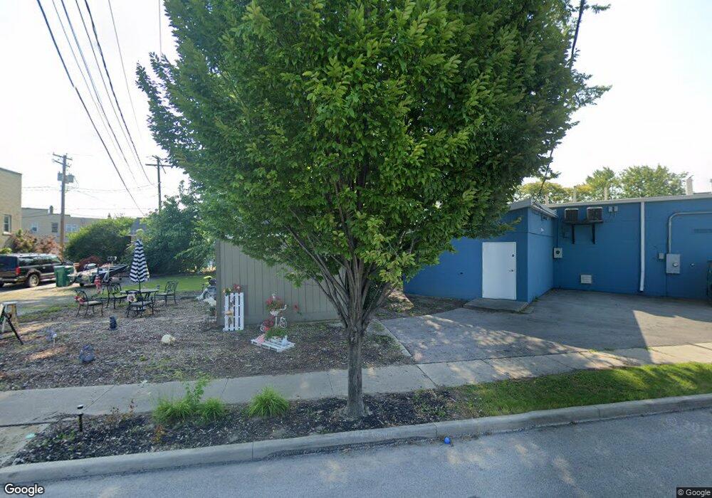
114 Bacon St Rossford, OH 43460
Estimated Value: $103,000 - $129,000
2
Beds
1
Bath
836
Sq Ft
$134/Sq Ft
Est. Value
About This Home
This home is located at 114 Bacon St, Rossford, OH 43460 and is currently estimated at $111,878, approximately $133 per square foot. 114 Bacon St is a home located in Wood County with nearby schools including Rossford Elementary School, Rossford Junior High School, and Rossford High School.
Ownership History
Date
Name
Owned For
Owner Type
Purchase Details
Closed on
Mar 24, 2022
Sold by
Brewer Amanda K and Bullimore Amanda K
Bought by
Kutscher Amanda K and Kutscher Paul F
Current Estimated Value
Home Financials for this Owner
Home Financials are based on the most recent Mortgage that was taken out on this home.
Original Mortgage
$72,000
Outstanding Balance
$58,102
Interest Rate
3.15%
Mortgage Type
New Conventional
Estimated Equity
$53,776
Purchase Details
Closed on
May 9, 2005
Sold by
Bullimore Benjamin D
Bought by
Brewer Amanda K and Bullimore Amanda K
Purchase Details
Closed on
Apr 20, 2001
Sold by
Wight Diane L
Bought by
Bullimore Benjamin D and Brewer Amanda K
Home Financials for this Owner
Home Financials are based on the most recent Mortgage that was taken out on this home.
Original Mortgage
$91,857
Interest Rate
7.03%
Mortgage Type
FHA
Purchase Details
Closed on
Jan 1, 1990
Bought by
Gwozdz Adam A
Create a Home Valuation Report for This Property
The Home Valuation Report is an in-depth analysis detailing your home's value as well as a comparison with similar homes in the area
Home Values in the Area
Average Home Value in this Area
Purchase History
| Date | Buyer | Sale Price | Title Company |
|---|---|---|---|
| Kutscher Amanda K | -- | None Listed On Document | |
| Brewer Amanda K | -- | -- | |
| Bullimore Benjamin D | $92,600 | -- | |
| Gwozdz Adam A | -- | -- |
Source: Public Records
Mortgage History
| Date | Status | Borrower | Loan Amount |
|---|---|---|---|
| Open | Kutscher Amanda K | $72,000 | |
| Previous Owner | Bullimore Benjamin D | $91,857 |
Source: Public Records
Tax History Compared to Growth
Tax History
| Year | Tax Paid | Tax Assessment Tax Assessment Total Assessment is a certain percentage of the fair market value that is determined by local assessors to be the total taxable value of land and additions on the property. | Land | Improvement |
|---|---|---|---|---|
| 2024 | $1,321 | $24,850 | $13,510 | $11,340 |
| 2023 | $1,321 | $24,850 | $13,510 | $11,340 |
| 2021 | $1,321 | $19,360 | $8,890 | $10,470 |
| 2020 | $1,336 | $19,360 | $8,890 | $10,470 |
| 2019 | $1,332 | $18,170 | $8,890 | $9,280 |
| 2018 | $1,263 | $18,170 | $8,890 | $9,280 |
| 2017 | $1,257 | $18,170 | $8,890 | $9,280 |
| 2016 | $634 | $8,890 | $8,890 | $0 |
| 2015 | $547 | $8,890 | $8,890 | $0 |
| 2014 | $500 | $8,890 | $8,890 | $0 |
| 2013 | $523 | $8,890 | $8,890 | $0 |
Source: Public Records
Map
Nearby Homes
- 194 Elm St
- 238 Elm St
- 45 Santus Dr
- 431 Forest Dr
- 421 Eagle Point Rd
- 372 Riverside Dr
- 448 Hillside Dr
- 1120 Lewis St
- 540 Indian Ridge Trail
- 543 Indian Ridge Trail
- 527 Grace Way
- 545 Glenwood Rd
- 1749 Selkirk St
- 605 Valley Dr
- 815 Dunwood Ct
- 837 Lorain St
- 708 Bowman St
- 765 Redwood Ave
- 763 Redwood Ave
- 714 Balfe St