114 Blacks Rd Unit T411 Dushore, PA 18614
Estimated Value: $168,000 - $256,000
3
Beds
1
Bath
1,320
Sq Ft
$162/Sq Ft
Est. Value
About This Home
This home is located at 114 Blacks Rd Unit T411, Dushore, PA 18614 and is currently estimated at $213,270, approximately $161 per square foot. 114 Blacks Rd Unit T411 is a home located in Sullivan County with nearby schools including Sullivan County Elementary School and Sullivan County High School.
Ownership History
Date
Name
Owned For
Owner Type
Purchase Details
Closed on
May 14, 2014
Sold by
Neufer Robert L and Neufer Kathleen M
Bought by
Dieffenbach John E
Current Estimated Value
Home Financials for this Owner
Home Financials are based on the most recent Mortgage that was taken out on this home.
Original Mortgage
$100,594
Outstanding Balance
$76,463
Interest Rate
4.26%
Mortgage Type
VA
Estimated Equity
$136,807
Purchase Details
Closed on
Jun 18, 2007
Sold by
Lawrence Thomas P and Lawrence Lois
Bought by
Neufer Robert L and Neufer Kathleen M
Home Financials for this Owner
Home Financials are based on the most recent Mortgage that was taken out on this home.
Original Mortgage
$50,000
Interest Rate
6.24%
Mortgage Type
New Conventional
Create a Home Valuation Report for This Property
The Home Valuation Report is an in-depth analysis detailing your home's value as well as a comparison with similar homes in the area
Home Values in the Area
Average Home Value in this Area
Purchase History
| Date | Buyer | Sale Price | Title Company |
|---|---|---|---|
| Dieffenbach John E | $100,594 | None Available | |
| Neufer Robert L | $80,000 | None Available |
Source: Public Records
Mortgage History
| Date | Status | Borrower | Loan Amount |
|---|---|---|---|
| Open | Dieffenbach John E | $100,594 | |
| Previous Owner | Neufer Robert L | $50,000 |
Source: Public Records
Tax History Compared to Growth
Tax History
| Year | Tax Paid | Tax Assessment Tax Assessment Total Assessment is a certain percentage of the fair market value that is determined by local assessors to be the total taxable value of land and additions on the property. | Land | Improvement |
|---|---|---|---|---|
| 2025 | $1,740 | $73,200 | $17,700 | $55,500 |
| 2024 | $1,684 | $73,200 | $17,700 | $55,500 |
| 2023 | $1,574 | $73,200 | $17,700 | $55,500 |
| 2022 | $547 | $73,200 | $17,700 | $55,500 |
| 2021 | $547 | $73,200 | $17,700 | $55,500 |
| 2020 | $1,555 | $73,200 | $17,700 | $55,500 |
| 2019 | $1,527 | $73,200 | $17,700 | $55,500 |
| 2017 | $1,487 | $73,200 | $17,700 | $55,500 |
| 2015 | $692 | $73,200 | $17,700 | $55,500 |
| 2014 | $692 | $70,000 | $17,700 | $52,300 |
| 2012 | $692 | $70,000 | $17,700 | $52,300 |
Source: Public Records
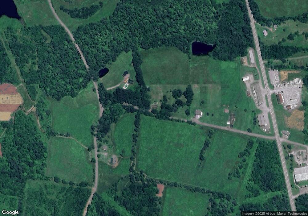
Map
Nearby Homes
- PARCEL 0017 Route 220 Hwy
- 0 Cummiskey Rd
- 242 S Turnpike St Unit LR895
- 244 S Turnpike St
- 181 E Cherry St
- 167 Payne Run Ln
- 730 Elys Rd
- 3272 Pelton Hill Rd
- 2200 Overton Rd
- 409 Front St
- 439 Front St
- 1070 Hayes Rd
- 1164 Rosenberry Hill Rd
- 401 Moon St
- 595 Old Bernice Rd
- 1050 Old Bernice Rd
- 0 Old Bernice Rd Unit 31721825
- 272 Crawford Rd
- 113 Swamp Rd
- 4526 Pennsylvania 487
- 114 Black's Rd
- 960 Churchill St
- 76 Blacks Rd
- 44 Blacks Rd
- 11320 Route 220
- 7 Shearer Rd
- 1064 Churchill St
- 11294 Route 220
- 11294 Route 220
- 11117 U S 220
- 220 U S 220
- 1114 Churchill St
- 700 Churchill St
- 61 Art McMahon Rd
- 11099 U S 220
- 11071 U S 220
- 11516 Route 220 Unit LR17
- 1129 Churchill St
- 165 U S 220
- 5 Turnpike Rd