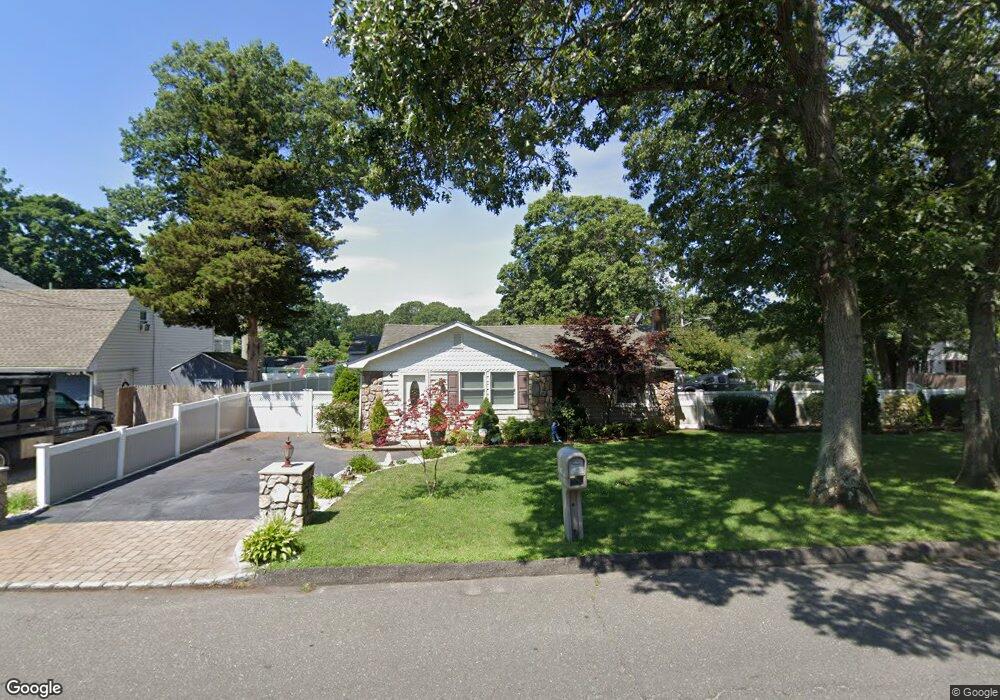
114 Blue Point Rd Selden, NY 11784
Estimated Value: $487,000 - $503,000
4
Beds
2
Baths
1,220
Sq Ft
$406/Sq Ft
Est. Value
About This Home
This home is located at 114 Blue Point Rd, Selden, NY 11784 and is currently estimated at $494,975, approximately $405 per square foot. 114 Blue Point Rd is a home located in Suffolk County.
Ownership History
Date
Name
Owned For
Owner Type
Purchase Details
Closed on
Jun 17, 2019
Sold by
Vaccaro Daryl A and Vaccaro Angela L
Bought by
Vaccaro Daryl A
Current Estimated Value
Purchase Details
Closed on
Jan 9, 2006
Sold by
Lagno Frederic
Bought by
Albani Salvtore F
Purchase Details
Closed on
Sep 14, 2004
Sold by
Cresser William
Bought by
Lagno Frederic
Purchase Details
Closed on
Jun 17, 1996
Sold by
Disabello Veronica
Bought by
Cresser William and Cresser Kelly R
Create a Home Valuation Report for This Property
The Home Valuation Report is an in-depth analysis detailing your home's value as well as a comparison with similar homes in the area
Home Values in the Area
Average Home Value in this Area
Purchase History
| Date | Buyer | Sale Price | Title Company |
|---|---|---|---|
| Vaccaro Daryl A | -- | -- | |
| Albani Salvtore F | $324,270 | Barry Zornberg | |
| Albani Salvtore F | $324,270 | Barry Zornberg | |
| Lagno Frederic | $267,800 | Craig Augi | |
| Lagno Frederic | $267,800 | Craig Augi | |
| Cresser William | $90,000 | Ticor Title Guarantee Compan | |
| Cresser William | $90,000 | Ticor Title Guarantee Compan |
Source: Public Records
Tax History Compared to Growth
Tax History
| Year | Tax Paid | Tax Assessment Tax Assessment Total Assessment is a certain percentage of the fair market value that is determined by local assessors to be the total taxable value of land and additions on the property. | Land | Improvement |
|---|---|---|---|---|
| 2024 | $2,631 | $1,060 | $260 | $800 |
| 2023 | $2,631 | $1,060 | $260 | $800 |
| 2022 | $3,365 | $1,060 | $260 | $800 |
| 2021 | $3,365 | $1,060 | $260 | $800 |
| 2020 | $3,478 | $1,060 | $260 | $800 |
| 2019 | $3,478 | $0 | $0 | $0 |
| 2018 | $3,290 | $1,060 | $260 | $800 |
| 2017 | $3,290 | $1,060 | $260 | $800 |
| 2016 | $3,292 | $1,060 | $260 | $800 |
| 2015 | -- | $1,060 | $260 | $800 |
| 2014 | -- | $1,060 | $260 | $800 |
Source: Public Records
Map
Nearby Homes
- 90 Blue Point Rd
- 1 Ferndale Ave
- 16 Daisy Place
- 27 Inwood Ave
- 40 Inwood Ave
- 59 Maplewood Ave
- 44 Oakdale Ave
- 27 Laurelton Ave
- 36 Kensington Ave
- 54 Oakdale Ave
- 10 Cedarhurst Ave
- 60 Cedarhurst Ave
- 47 Iroquois Ave
- 86 Oakdale Ave
- 534 Middle Country Rd
- 99 Elmwood Ave
- 101 Elmwood Ave
- 16 Hillside Rd
- 6 Linden St
- 128 S Bicycle Path
- 6 Maplewood Ave
- 8 Maplewood Ave
- 110 Blue Point Rd
- 120 Blue Point Rd
- 115 Blue Point Rd
- 113 Blue Point Rd
- 119 Blue Point Rd
- 106 Blue Point Rd
- 5 Maplewood Ave
- 12 Maplewood Ave
- 53 Sunset Ave
- 9 Maplewood Ave
- 123 Blue Point Rd
- 102 Blue Point Rd
- 55 Sunset Ave
- 105 Blue Point Rd
- 14 Maplewood Ave
- 57 Sunset Ave
- 11 Maplewood Ave