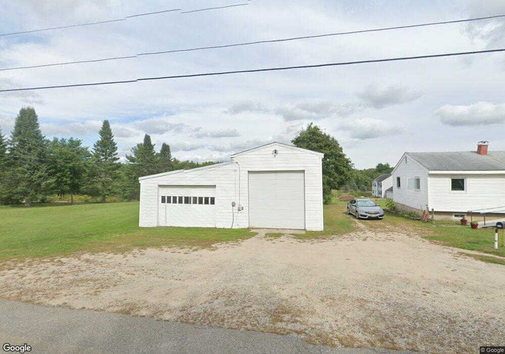
114 Brackett Rd Gorham, ME 04038
Estimated Value: $411,257 - $502,000
2
Beds
3
Baths
1,050
Sq Ft
$434/Sq Ft
Est. Value
About This Home
This home is located at 114 Brackett Rd, Gorham, ME 04038 and is currently estimated at $456,064, approximately $434 per square foot. 114 Brackett Rd is a home with nearby schools including Narragansett Elementary School, Gorham Middle School, and Gorham High School.
Ownership History
Date
Name
Owned For
Owner Type
Purchase Details
Closed on
Jul 11, 2025
Sold by
Wood Craig S
Bought by
Wood Craig S and Wood Rosalie A
Current Estimated Value
Purchase Details
Closed on
Dec 31, 2020
Sold by
Wood Craig S
Bought by
Wood Craig S and Wood Rosalie A
Purchase Details
Closed on
Oct 28, 2011
Sold by
Berry Judy C and Berry Stephen O
Bought by
Wood Craig S
Home Financials for this Owner
Home Financials are based on the most recent Mortgage that was taken out on this home.
Original Mortgage
$150,300
Interest Rate
4.11%
Mortgage Type
Purchase Money Mortgage
Purchase Details
Closed on
May 5, 2005
Sold by
Walsh Nicholas H
Bought by
Wood Craig S
Create a Home Valuation Report for This Property
The Home Valuation Report is an in-depth analysis detailing your home's value as well as a comparison with similar homes in the area
Home Values in the Area
Average Home Value in this Area
Purchase History
| Date | Buyer | Sale Price | Title Company |
|---|---|---|---|
| Wood Craig S | -- | -- | |
| Wood Craig S | -- | -- | |
| Wood Craig S | -- | -- | |
| Wood Craig S | -- | -- | |
| Wood Craig S | -- | None Available | |
| Wood Craig S | -- | None Available | |
| Wood Craig S | -- | -- | |
| Wood Craig S | -- | -- | |
| Wood Craig S | -- | -- | |
| Wood Craig S | -- | -- | |
| Wood Craig S | -- | -- |
Source: Public Records
Mortgage History
| Date | Status | Borrower | Loan Amount |
|---|---|---|---|
| Previous Owner | Wood Craig S | $150,300 |
Source: Public Records
Tax History
| Year | Tax Paid | Tax Assessment Tax Assessment Total Assessment is a certain percentage of the fair market value that is determined by local assessors to be the total taxable value of land and additions on the property. | Land | Improvement |
|---|---|---|---|---|
| 2025 | $4,404 | $297,600 | $68,400 | $229,200 |
| 2024 | $4,375 | $297,600 | $68,400 | $229,200 |
| 2023 | $4,092 | $297,600 | $68,400 | $229,200 |
| 2022 | $3,824 | $297,600 | $68,400 | $229,200 |
| 2021 | $3,244 | $167,200 | $57,900 | $109,300 |
| 2020 | $3,177 | $167,200 | $57,900 | $109,300 |
| 2019 | $3,168 | $167,200 | $57,900 | $109,300 |
| 2018 | $3,043 | $167,200 | $57,900 | $109,300 |
| 2017 | $2,859 | $167,200 | $57,900 | $109,300 |
| 2016 | $3,662 | $167,100 | $57,800 | $109,300 |
| 2015 | $2,724 | $167,100 | $57,800 | $109,300 |
| 2014 | $2,516 | $144,600 | $52,400 | $92,200 |
| 2013 | $2,502 | $144,600 | $52,400 | $92,200 |
Source: Public Records
Map
Nearby Homes
- 11 Dragonfly Ln
- 30 Fairway Commons Dr Unit 10
- 31 Fairway Commons Dr Unit 12
- Unit 13 Fairway Commons Dr Unit 13
- 20 Fairway Commons Dr Unit 2
- Lot 3A Day Rd
- 25 Fairway Commons Dr Unit 7
- 213 Wickham Way
- 204 Wickham Way Unit Lot 204
- 195 Wickham Way
- 171 Wickham Way
- 162 Wickham Way
- 13 Windsor Dr
- 79 Buckingham Dr
- 280 Longfellow St Unit 17
- 547 Saco St
- 25 Longfellow Dr
- 14 Patio Park Ln
- 52 Hogan Cir Unit 1
- 25 Patio Park Ln
Your Personal Tour Guide
Ask me questions while you tour the home.