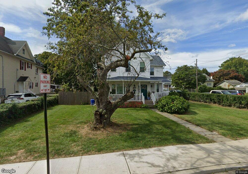
114 Branchport Ave Long Branch, NJ 07740
Estimated Value: $631,000 - $687,000
3
Beds
2
Baths
1,902
Sq Ft
$346/Sq Ft
Est. Value
About This Home
This home is located at 114 Branchport Ave, Long Branch, NJ 07740 and is currently estimated at $658,958, approximately $346 per square foot. 114 Branchport Ave is a home located in Monmouth County with nearby schools including Long Branch High School and Holy Trinity School.
Ownership History
Date
Name
Owned For
Owner Type
Purchase Details
Closed on
Oct 26, 2024
Sold by
Ahrens Donna E and Ahrens Edward W
Bought by
Ahrens Edward W and Ahrens Donna E
Current Estimated Value
Home Financials for this Owner
Home Financials are based on the most recent Mortgage that was taken out on this home.
Original Mortgage
$620,000
Outstanding Balance
$614,191
Interest Rate
6.44%
Mortgage Type
VA
Estimated Equity
$44,767
Create a Home Valuation Report for This Property
The Home Valuation Report is an in-depth analysis detailing your home's value as well as a comparison with similar homes in the area
Home Values in the Area
Average Home Value in this Area
Purchase History
| Date | Buyer | Sale Price | Title Company |
|---|---|---|---|
| Ahrens Edward W | -- | None Listed On Document | |
| Ahrens Edward W | -- | None Listed On Document |
Source: Public Records
Mortgage History
| Date | Status | Borrower | Loan Amount |
|---|---|---|---|
| Open | Ahrens Edward W | $620,000 | |
| Closed | Ahrens Edward W | $620,000 |
Source: Public Records
Tax History Compared to Growth
Tax History
| Year | Tax Paid | Tax Assessment Tax Assessment Total Assessment is a certain percentage of the fair market value that is determined by local assessors to be the total taxable value of land and additions on the property. | Land | Improvement |
|---|---|---|---|---|
| 2025 | $8,042 | $563,400 | $213,900 | $349,500 |
| 2024 | $4,075 | $523,200 | $188,900 | $334,300 |
| 2023 | $4,075 | $262,400 | $158,900 | $103,500 |
| 2022 | $6,339 | $368,600 | $148,900 | $219,700 |
| 2021 | $6,339 | $329,300 | $123,900 | $205,400 |
| 2020 | $6,567 | $314,200 | $109,900 | $204,300 |
| 2019 | $6,237 | $296,700 | $101,900 | $194,800 |
| 2018 | $6,754 | $319,500 | $94,900 | $224,600 |
| 2017 | $6,478 | $314,300 | $93,900 | $220,400 |
| 2016 | $6,338 | $313,600 | $98,900 | $214,700 |
| 2015 | $5,012 | $236,300 | $104,300 | $132,000 |
| 2014 | $4,686 | $233,600 | $116,500 | $117,100 |
Source: Public Records
Map
Nearby Homes
- 108 Branchport Ave
- 589 Vernon St
- 124 Branchport Ave
- 594 Vernon St
- 100 Branchport Ave
- 596 Vernon St
- 128 Branchport Ave
- 121 Branchport Ave
- 121 Branchport Ave Unit A
- 591 Vernon St
- 115 Branchport Ave
- 111 Branchport Ave
- 595 Vernon St
- 600 Vernon St
- 94 Branchport Ave
- 99 Branchport Ave
- 134 Branchport Ave
- 597 Vernon St
- 125 Branchport Ave
- 601 Vernon St