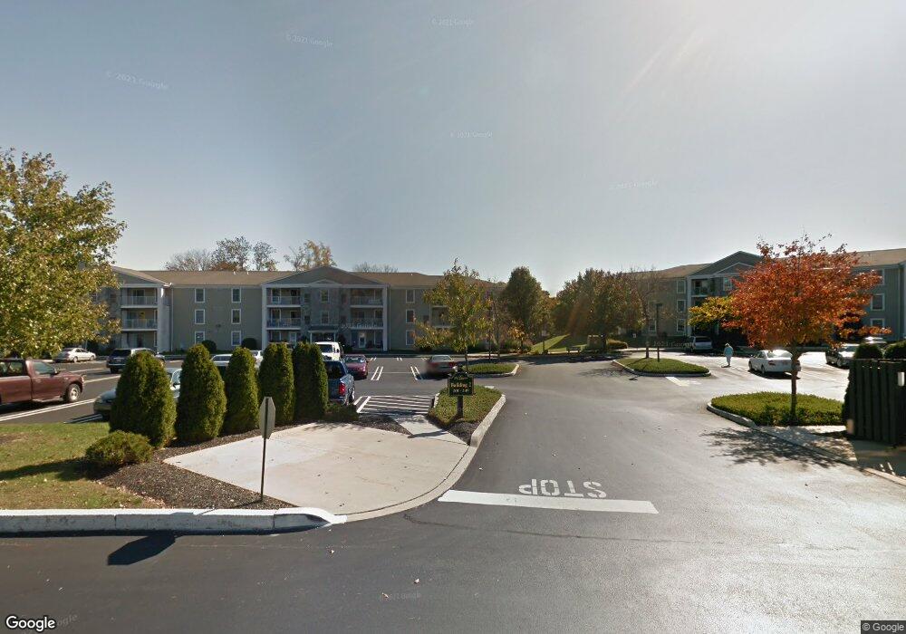
114 Brandon Rd Norristown, PA 19403
West Norriton Township NeighborhoodEstimated Value: $264,971 - $281,000
2
Beds
1
Bath
1,054
Sq Ft
$259/Sq Ft
Est. Value
About This Home
This home is located at 114 Brandon Rd, Norristown, PA 19403 and is currently estimated at $272,743, approximately $258 per square foot. 114 Brandon Rd is a home located in Montgomery County with nearby schools including Charles Blockson Middle School, Paul V Fly Elementary School, and East Norriton Middle School.
Ownership History
Date
Name
Owned For
Owner Type
Purchase Details
Closed on
May 5, 2008
Sold by
Holland Mark P and Holland Donna
Bought by
Ciaccio Anthony L and Ciaccio Patricia A
Current Estimated Value
Purchase Details
Closed on
Dec 9, 2003
Sold by
Brandon Road Corp
Bought by
Brandon Road Corp and Greens At Westover Condo
Purchase Details
Closed on
Nov 14, 2000
Sold by
Kirchner Shirley A
Bought by
Holland Mary L
Purchase Details
Closed on
Jul 9, 1998
Sold by
Brandon Road Corp
Bought by
Sweeney Edward R
Create a Home Valuation Report for This Property
The Home Valuation Report is an in-depth analysis detailing your home's value as well as a comparison with similar homes in the area
Home Values in the Area
Average Home Value in this Area
Purchase History
| Date | Buyer | Sale Price | Title Company |
|---|---|---|---|
| Ciaccio Anthony L | $175,000 | None Available | |
| Brandon Road Corp | -- | -- | |
| Holland Mary L | $115,000 | -- | |
| Sweeney Edward R | $102,500 | -- |
Source: Public Records
Tax History Compared to Growth
Tax History
| Year | Tax Paid | Tax Assessment Tax Assessment Total Assessment is a certain percentage of the fair market value that is determined by local assessors to be the total taxable value of land and additions on the property. | Land | Improvement |
|---|---|---|---|---|
| 2025 | $4,561 | $93,370 | $28,030 | $65,340 |
| 2024 | $4,561 | $93,370 | $28,030 | $65,340 |
| 2023 | $4,510 | $93,370 | $28,030 | $65,340 |
| 2022 | $4,481 | $93,370 | $28,030 | $65,340 |
| 2021 | $4,454 | $93,370 | $28,030 | $65,340 |
| 2020 | $4,321 | $93,370 | $28,030 | $65,340 |
| 2019 | $4,224 | $93,370 | $28,030 | $65,340 |
| 2018 | $3,200 | $93,370 | $28,030 | $65,340 |
| 2017 | $3,988 | $93,370 | $28,030 | $65,340 |
| 2016 | $3,952 | $93,370 | $28,030 | $65,340 |
| 2015 | $3,661 | $93,370 | $28,030 | $65,340 |
| 2014 | $3,661 | $93,370 | $28,030 | $65,340 |
Source: Public Records
Map
Nearby Homes
- 307 Brandon Rd
- 167 Woodstream Dr Unit CONDO 167
- 402 Brandon Rd
- 533 Brandon Rd
- 121 Woodstream Dr Unit CONDO 121
- 440 Rittenhouse Blvd
- 1905 Yorktown N
- 176 Riversedge Dr
- 143 Riversedge Dr Unit CONDO 143
- 1914 Yorktown S
- 526 Bassett Ln
- 2012 Yorktown S
- 1924 Juniata Rd
- 2017 Yorktown S
- 1633 Williams Way
- 1749 W Marshall St
- 709 N Henderson Rd
- 16 Forrest Ave
- 150 Forrest Ave
- 1635 W Marshall W Marshall St
- 104 Brandon Rd
- 104 Brandon Rd Unit BUILDING NUMBER 1
- 128 Brandon Rd
- 140 Brandon Rd
- 105 Brandon Rd
- 103 Brandon Rd
- 105 Brandon Rd
- 115 Brandon Rd
- 126 Brandon Rd
- 113 Brandon Rd
- 130 Brandon Rd
- 129 Brandon Rd
- 110 Brandon Rd
- 116 Brandon Rd
- 138 Brandon Rd
- 117 Brandon Rd
- 143 Brandon Rd Unit 143 Brandon rd
- 143 Brandon Rd
- 131 Brandon Rd
- 141 Brandon Rd