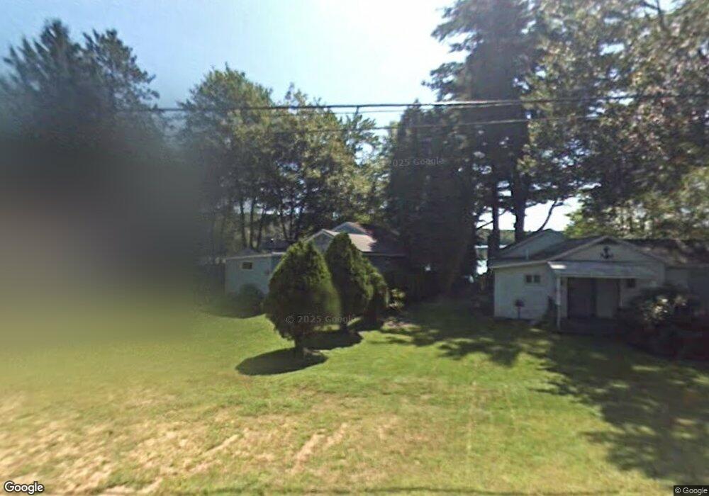
114 Brookfield Rd Brimfield, MA 01010
Estimated Value: $233,000 - $337,000
2
Beds
1
Bath
888
Sq Ft
$316/Sq Ft
Est. Value
About This Home
This home is located at 114 Brookfield Rd, Brimfield, MA 01010 and is currently estimated at $280,313, approximately $315 per square foot. 114 Brookfield Rd is a home with nearby schools including Brimfield Elementary School, Tantasqua Regional Junior High School, and Tantasqua Regional High School.
Ownership History
Date
Name
Owned For
Owner Type
Purchase Details
Closed on
Dec 30, 2025
Sold by
Lepage Celeste C and Lepage Gary F
Bought by
Menard Faith V
Current Estimated Value
Purchase Details
Closed on
Sep 9, 2020
Sold by
Mccarthy Veronica C
Bought by
Lepage Celeste C and Lepage Gary F
Purchase Details
Closed on
Jul 25, 2001
Sold by
Ctr For Human Dev Inc
Bought by
Mccarthy Veronica C
Create a Home Valuation Report for This Property
The Home Valuation Report is an in-depth analysis detailing your home's value as well as a comparison with similar homes in the area
Home Values in the Area
Average Home Value in this Area
Purchase History
| Date | Buyer | Sale Price | Title Company |
|---|---|---|---|
| Menard Faith V | -- | -- | |
| Lepage Celeste C | $17,000 | None Available | |
| Mccarthy Veronica C | $10,000 | -- |
Source: Public Records
Tax History
| Year | Tax Paid | Tax Assessment Tax Assessment Total Assessment is a certain percentage of the fair market value that is determined by local assessors to be the total taxable value of land and additions on the property. | Land | Improvement |
|---|---|---|---|---|
| 2025 | $3,186 | $225,300 | $135,400 | $89,900 |
| 2024 | $3,107 | $212,500 | $127,600 | $84,900 |
| 2023 | $3,124 | $205,400 | $127,600 | $77,800 |
| 2022 | $3,046 | $185,400 | $119,100 | $66,300 |
| 2021 | $2,496 | $142,200 | $83,000 | $59,200 |
| 2020 | $2,449 | $138,600 | $83,000 | $55,600 |
| 2019 | $2,390 | $134,400 | $83,000 | $51,400 |
| 2018 | $2,298 | $134,400 | $83,000 | $51,400 |
| 2017 | $2,238 | $134,400 | $83,000 | $51,400 |
| 2016 | $2,216 | $128,400 | $78,900 | $49,500 |
| 2015 | $2,156 | $128,400 | $78,900 | $49,500 |
| 2014 | $2,108 | $128,400 | $78,900 | $49,500 |
Source: Public Records
Map
Nearby Homes
- 97 Cubles Dr
- 43 Tower Hill Rd
- 30 Little Rest Rd
- 293 Warren Rd
- 299 Warren Rd
- 291 Warren Rd
- 0 Hillside Dr
- 238 Brookfield Rd
- 15 Sturbridge Rd
- 21 Sturbridge Rd
- 3 Devils Ln
- 121 Sturbridge Rd
- 20 Paige Hill Rd
- 0 Haynes Hill Rd Unit 73046570
- 90 Wales Rd
- 0 Brookfield Rd
- 79 7th St
- Lots 1&2 Wales Rd
- 104 Wales Rd
- Lot 5 New Holland Rd
- 116 Brookfield Rd
- 112 Brookfield Rd
- 122 Brookfield Rd
- 111 Brookfield Rd
- 125 Brookfield Rd
- 113 Brookfield Rd
- 109 Brookfield Rd
- 138 Brookfield Rd
- 185 Little Rest Rd
- 100 Little Rest Rd
- 39 Dix Hill Rd
- 25 Dix Hill Rd
- 103 Brookfield Rd
- 97 Brookfield Rd
- 30 Dix Hill Rd
- 99 Brookfield Rd
- 40 Dix Hill Rd
- 44 Dix Hill Rd
- 115 Cubles Dr
- 117 Cubles Dr
Your Personal Tour Guide
Ask me questions while you tour the home.