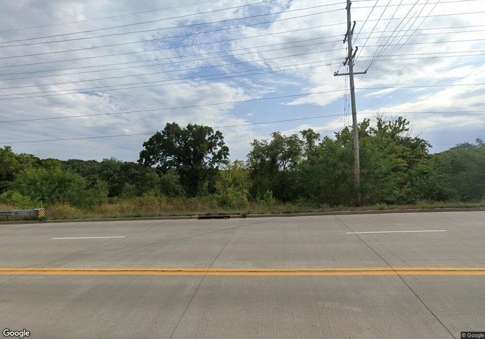
Estimated Value: $55,160 - $153,000
2
Beds
1
Bath
772
Sq Ft
$161/Sq Ft
Est. Value
About This Home
This home is located at 114 Bryant Dr, Rolla, MO 65401 and is currently estimated at $124,040, approximately $160 per square foot. 114 Bryant Dr is a home located in Phelps County with nearby schools including Rolla Junior High School, Rolla Senior High School, and Immanuel Lutheran School.
Ownership History
Date
Name
Owned For
Owner Type
Purchase Details
Closed on
Jul 5, 2017
Bought by
Mace Ruby A
Current Estimated Value
Purchase Details
Closed on
Mar 31, 1997
Purchase Details
Closed on
Feb 6, 1985
Purchase Details
Closed on
Nov 19, 1984
Purchase Details
Closed on
Nov 15, 1983
Purchase Details
Closed on
Jun 1, 1982
Purchase Details
Closed on
May 12, 1982
Purchase Details
Closed on
Dec 29, 1981
Purchase Details
Closed on
Aug 31, 1978
Purchase Details
Closed on
Aug 31, 1973
Create a Home Valuation Report for This Property
The Home Valuation Report is an in-depth analysis detailing your home's value as well as a comparison with similar homes in the area
Home Values in the Area
Average Home Value in this Area
Purchase History
| Date | Buyer | Sale Price | Title Company |
|---|---|---|---|
| Mace Ruby A | -- | -- | |
| -- | -- | -- | |
| -- | -- | -- | |
| -- | -- | -- | |
| -- | -- | -- | |
| -- | -- | -- | |
| -- | -- | -- | |
| -- | -- | -- | |
| -- | -- | -- | |
| -- | -- | -- |
Source: Public Records
Tax History Compared to Growth
Tax History
| Year | Tax Paid | Tax Assessment Tax Assessment Total Assessment is a certain percentage of the fair market value that is determined by local assessors to be the total taxable value of land and additions on the property. | Land | Improvement |
|---|---|---|---|---|
| 2025 | $295 | $5,650 | $5,620 | $30 |
| 2024 | $211 | $3,930 | $3,930 | $0 |
| 2023 | $213 | $3,930 | $3,930 | $0 |
| 2022 | $181 | $3,930 | $3,930 | $0 |
| 2021 | $182 | $3,930 | $3,930 | $0 |
| 2020 | $186 | $3,930 | $3,930 | $0 |
| 2019 | $172 | $3,650 | $3,650 | $0 |
| 2018 | $171 | $3,650 | $3,650 | $0 |
| 2017 | $402 | $8,610 | $2,430 | $6,180 |
| 2016 | $388 | $8,610 | $2,430 | $6,180 |
| 2015 | -- | $8,610 | $2,430 | $6,180 |
| 2014 | -- | $8,610 | $2,430 | $6,180 |
| 2013 | -- | $8,610 | $0 | $0 |
Source: Public Records
Map
Nearby Homes
- 1021 Morrell Ave
- 1022 Lynwood Dr
- 107 S Walker Ave
- 231 Sunny Dr
- 0 Columbia Avenue Lot 22 Unit 18039520
- 0 Yale Avenue Lot 45 Unit 18039534
- 0 Columbia Avenue Lot 21 Unit 18039514
- 0 Columbia Avenue Lot 20 Unit 18039513
- 0 Yale Avenue Lot 44 Unit 18039532
- 0 Yale Avenue Lot 48 Unit 18039578
- 0 Yale Avenue Lot 43 Unit 18039529
- TBD Bluebird Ln
- 403 Fort Wyman Rd
- 401 W 1st St
- 610 Shady Acres Ct
- 0 Columbia Avenue Lot 15 Unit 18039508
- 0 Columbia Avenue Lot 14 Unit 18039507
- 14.25 acres Cedar Grove Rd
- 0 Columbia Avenue Lot 12 Unit 18039501
- 0 Lanning Ln
- 112 Bryant Dr
- 110 Bryant Dr
- 108 Bryant Dr
- 103 Bryant Dr
- 104 Bryant Dr
- 1151 Lynwood Dr
- 402 Edith Ave
- 1203 Kingshighway St
- 1205 Kingshighway St
- 1110 Lynwood Dr
- 1211 Kingshighway St
- 106 Bryant Dr
- 1200 Lynwood Dr
- 107 Bridgeschool Rd
- 1108 Lynwood Dr
- 1106 Lynwood Dr
- 1109 Lynwood Dr
- 1111 Lynwood Dr
- 400 Edith Ave
- 451 Bridgeschool Rd
