114 Brynwood Ct Mickleton, NJ 08056
East Greenwich Township NeighborhoodEstimated Value: $572,188 - $690,000
--
Bed
--
Bath
2,413
Sq Ft
$253/Sq Ft
Est. Value
About This Home
This home is located at 114 Brynwood Ct, Mickleton, NJ 08056 and is currently estimated at $611,297, approximately $253 per square foot. 114 Brynwood Ct is a home located in Gloucester County with nearby schools including Jeffrey Clark School, Samuel Mickle School, and Kingsway Regional Middle School.
Ownership History
Date
Name
Owned For
Owner Type
Purchase Details
Closed on
Mar 31, 2010
Sold by
Nvr Inc
Bought by
Preziosi Ryan J and Ramagli Kristen
Current Estimated Value
Home Financials for this Owner
Home Financials are based on the most recent Mortgage that was taken out on this home.
Original Mortgage
$335,469
Outstanding Balance
$228,896
Interest Rate
5.5%
Mortgage Type
FHA
Estimated Equity
$382,401
Purchase Details
Closed on
Jan 15, 2010
Sold by
Brynwood Development Group L L C
Bought by
Nvr Inc and Ryan Homes
Create a Home Valuation Report for This Property
The Home Valuation Report is an in-depth analysis detailing your home's value as well as a comparison with similar homes in the area
Home Values in the Area
Average Home Value in this Area
Purchase History
| Date | Buyer | Sale Price | Title Company |
|---|---|---|---|
| Preziosi Ryan J | $366,340 | Legacy Title Agency Llc | |
| Nvr Inc | $125,000 | Title America Agency Corp |
Source: Public Records
Mortgage History
| Date | Status | Borrower | Loan Amount |
|---|---|---|---|
| Open | Preziosi Ryan J | $335,469 |
Source: Public Records
Tax History Compared to Growth
Tax History
| Year | Tax Paid | Tax Assessment Tax Assessment Total Assessment is a certain percentage of the fair market value that is determined by local assessors to be the total taxable value of land and additions on the property. | Land | Improvement |
|---|---|---|---|---|
| 2025 | $11,368 | $357,600 | $106,400 | $251,200 |
| 2024 | $11,007 | $357,600 | $106,400 | $251,200 |
| 2023 | $11,007 | $357,600 | $106,400 | $251,200 |
| 2022 | $10,696 | $357,600 | $106,400 | $251,200 |
| 2021 | $10,767 | $357,600 | $106,400 | $251,200 |
| 2020 | $10,817 | $357,600 | $106,400 | $251,200 |
| 2019 | $10,707 | $357,600 | $106,400 | $251,200 |
| 2018 | $10,297 | $312,300 | $99,000 | $213,300 |
| 2017 | $10,162 | $312,300 | $99,000 | $213,300 |
| 2016 | $10,044 | $312,300 | $99,000 | $213,300 |
| 2015 | $9,625 | $312,300 | $99,000 | $213,300 |
| 2014 | $9,032 | $312,300 | $99,000 | $213,300 |
Source: Public Records
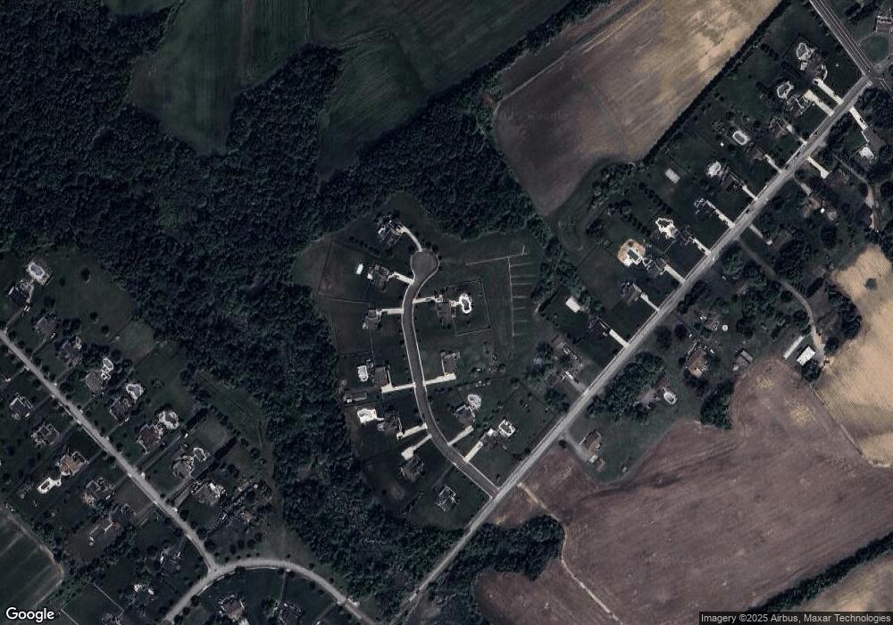
Map
Nearby Homes
- 67 E Rattling Run Rd
- 121 White Owl Trail
- 558 Hereford Ln
- 552 Hereford Ln
- 9 Still Run Rd
- 560 Partridge Ct
- 19 Valley Ln
- 53 Redkist Dr
- 55 Redkist Dr
- 34 Redkist Dr
- 57 Redkist Dr
- 59 Redkist Dr
- 32 Redkist Dr
- 185 Woodland Ave
- 28 Redkist Dr
- 72 Redkist Dr
- 65 Redkist Dr
- 74 Redkist Dr
- 67 Redkist Dr
- 76 Redkist Dr