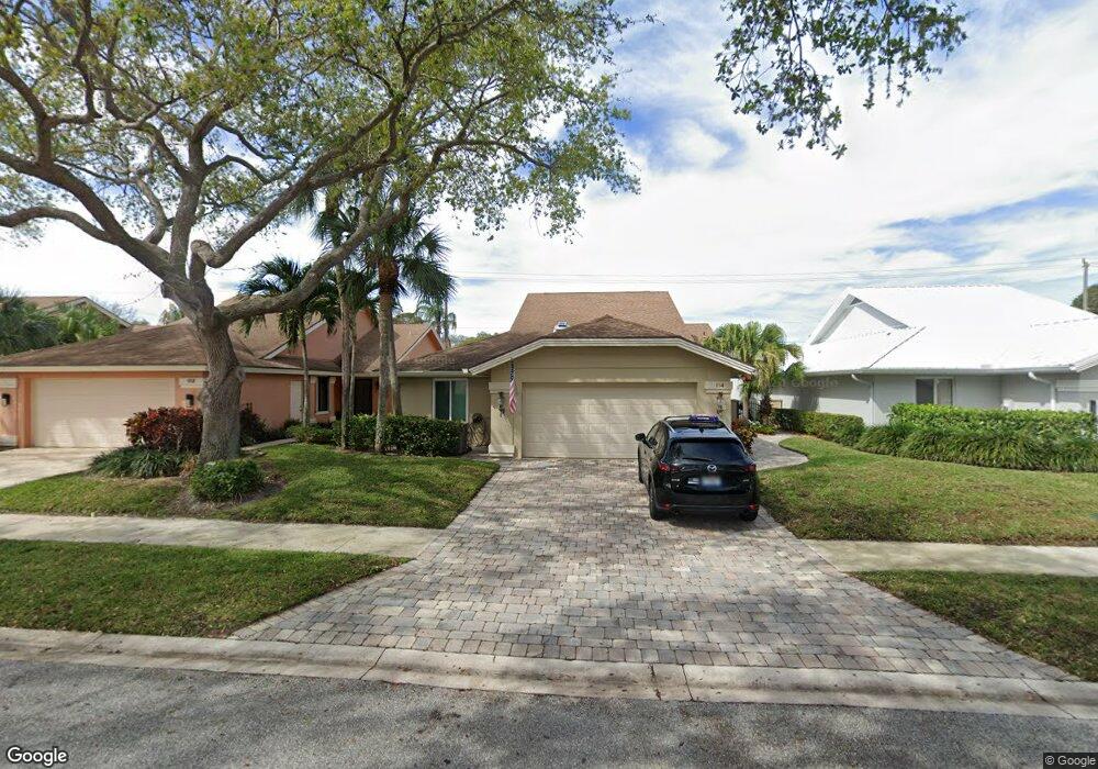
114 Cape Pointe Cir Jupiter, FL 33477
The Bluffs NeighborhoodEstimated Value: $1,119,575 - $1,334,000
3
Beds
2
Baths
1,889
Sq Ft
$651/Sq Ft
Est. Value
About This Home
This home is located at 114 Cape Pointe Cir, Jupiter, FL 33477 and is currently estimated at $1,230,144, approximately $651 per square foot. 114 Cape Pointe Cir is a home located in Palm Beach County with nearby schools including William T. Dwyer High School, Lighthouse Elementary School, and Beacon Cove Intermediate School.
Ownership History
Date
Name
Owned For
Owner Type
Purchase Details
Closed on
Feb 3, 2012
Sold by
Weagle Stephen W and Weagle Karen M
Bought by
Houlihan Patrick and Houlihan Joanne
Current Estimated Value
Home Financials for this Owner
Home Financials are based on the most recent Mortgage that was taken out on this home.
Original Mortgage
$330,000
Outstanding Balance
$216,154
Interest Rate
3.37%
Mortgage Type
New Conventional
Estimated Equity
$1,013,990
Purchase Details
Closed on
Feb 18, 2000
Sold by
Arnold Gregory H
Bought by
Weagle Stephen W and Weagle Karen M
Home Financials for this Owner
Home Financials are based on the most recent Mortgage that was taken out on this home.
Original Mortgage
$184,500
Interest Rate
8.17%
Mortgage Type
New Conventional
Create a Home Valuation Report for This Property
The Home Valuation Report is an in-depth analysis detailing your home's value as well as a comparison with similar homes in the area
Home Values in the Area
Average Home Value in this Area
Purchase History
| Date | Buyer | Sale Price | Title Company |
|---|---|---|---|
| Houlihan Patrick | $412,500 | Cove Title Services | |
| Weagle Stephen W | $205,000 | -- |
Source: Public Records
Mortgage History
| Date | Status | Borrower | Loan Amount |
|---|---|---|---|
| Open | Houlihan Patrick | $330,000 | |
| Previous Owner | Weagle Stephen W | $192,000 | |
| Previous Owner | Weagle Stephen W | $184,500 |
Source: Public Records
Tax History
| Year | Tax Paid | Tax Assessment Tax Assessment Total Assessment is a certain percentage of the fair market value that is determined by local assessors to be the total taxable value of land and additions on the property. | Land | Improvement |
|---|---|---|---|---|
| 2025 | $6,629 | $431,064 | -- | -- |
| 2024 | $6,629 | $418,915 | -- | -- |
| 2023 | $6,537 | $406,714 | $0 | $0 |
| 2022 | $6,536 | $394,868 | $0 | $0 |
| 2021 | $6,492 | $383,367 | $0 | $0 |
| 2020 | $6,490 | $378,074 | $0 | $0 |
| 2019 | $6,415 | $369,574 | $0 | $0 |
| 2018 | $6,102 | $362,683 | $0 | $0 |
| 2017 | $6,091 | $355,223 | $0 | $0 |
| 2016 | $6,108 | $347,917 | $0 | $0 |
| 2015 | $6,261 | $345,499 | $0 | $0 |
| 2014 | $6,625 | $312,752 | $0 | $0 |
Source: Public Records
Map
Nearby Homes
- 126 Cape Pointe Cir
- 125 Cape Pointe Cir
- 238 River Park Dr
- 101 Cape Pointe Cir
- 246 Ridge Rd
- 181 Cape Pointe Cir
- 121 Landward Dr
- 228 Ridge Rd
- 119 Beach Summit Ct
- 150 Beach Summit Ct
- 216 Ridge Rd
- 316 River Edge Rd
- 105 Ocean Pines Terrace
- 3071 30th Ct
- 117 Sea Steppes Ct
- 116 Dunes Edge Rd
- 438 River Edge Rd
- 125 Sand Pine Dr
- 125 Seashore Dr
- 197 Ridge Rd
- 116 Cape Pointe Cir
- 112 Cape Pointe Cir
- 118 Cape Pointe Cir
- 110 Cape Pointe Cir
- 120 Cape Pointe Cir
- 217 E River Park Dr
- 219 E River Park Dr
- 215 E River Park Dr
- 108 Cape Pointe Cir
- 213 E River Park Dr
- 217 River Park Dr
- 113 Cape Pointe Cir
- 115 Cape Pointe Cir
- 111 Cape Pointe Cir
- 122 Cape Pointe Cir
- 117 Cape Pointe Cir
- 211 E River Park Dr
- 223 E River Park Dr
- 107 Cape Pointe Cir
- 119 Cape Pointe Cir
Your Personal Tour Guide
Ask me questions while you tour the home.