114 Carson Peak Ct Livermore, CO 80536
Estimated Value: $39,097 - $310,000
--
Bed
--
Bath
--
Sq Ft
1.78
Acres
About This Home
This home is located at 114 Carson Peak Ct, Livermore, CO 80536 and is currently estimated at $174,549. 114 Carson Peak Ct is a home located in Larimer County with nearby schools including Livermore Elementary School, Cache La Poudre Middle School, and Poudre High School.
Ownership History
Date
Name
Owned For
Owner Type
Purchase Details
Closed on
Feb 13, 2025
Sold by
Kell Timothy and Lebsock Michele
Bought by
Kell-Lebsock Family Trust
Current Estimated Value
Purchase Details
Closed on
Apr 20, 2011
Sold by
Cicero Joseph C and Cicero Shirley A
Bought by
Kell Timothy and Lebsock Michele
Purchase Details
Closed on
Jul 15, 2008
Sold by
Vanputten Tim and Van Putten Amy
Bought by
Cicero Joseph C and Cicero Shirley A
Purchase Details
Closed on
Oct 6, 1999
Sold by
Gonzales Dannie
Bought by
Vanputten Tim and Vanputten Amy
Create a Home Valuation Report for This Property
The Home Valuation Report is an in-depth analysis detailing your home's value as well as a comparison with similar homes in the area
Home Values in the Area
Average Home Value in this Area
Purchase History
| Date | Buyer | Sale Price | Title Company |
|---|---|---|---|
| Kell-Lebsock Family Trust | -- | None Listed On Document | |
| Kell Timothy | $14,000 | Heritage Title | |
| Cicero Joseph C | $16,000 | Stewart Title Of Co Inc | |
| Cicero Joseph C | $16,000 | Stewart Title Colorado Inc | |
| Vanputten Tim | $27,500 | Land Title |
Source: Public Records
Tax History Compared to Growth
Tax History
| Year | Tax Paid | Tax Assessment Tax Assessment Total Assessment is a certain percentage of the fair market value that is determined by local assessors to be the total taxable value of land and additions on the property. | Land | Improvement |
|---|---|---|---|---|
| 2025 | $1,049 | $10,658 | $10,658 | -- |
| 2024 | $1,070 | $11,411 | $11,411 | -- |
| 2022 | $573 | $5,916 | $5,916 | $0 |
| 2021 | $563 | $5,916 | $5,916 | $0 |
| 2020 | $362 | $3,770 | $3,770 | $0 |
| 2019 | $364 | $3,770 | $3,770 | $0 |
| 2018 | $260 | $2,900 | $2,900 | $0 |
| 2017 | $259 | $2,900 | $2,900 | $0 |
| 2016 | $195 | $2,175 | $2,175 | $0 |
| 2015 | $194 | $2,180 | $2,180 | $0 |
| 2014 | $195 | $2,180 | $2,180 | $0 |
Source: Public Records
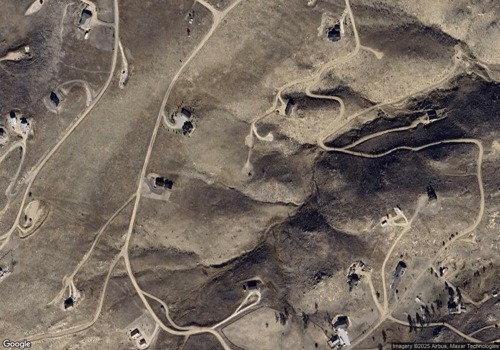
Map
Nearby Homes
- 38 Carson Peak Ct
- 890 Meadow Mountain Dr
- 1222 Meadow Mountain Dr
- 1324 Meadow Mountain Dr
- 1360 Meadow Mountain Dr
- 443 Meadow Mountain Dr
- 42 Smokey Mountain Ct
- 132 Singing Pines Ct
- 104 Sheep Mountain Ct
- 59 Bobcat Mountain Ct
- 17 Bobcat Mountain Ct
- 181 Meadow Mountain Dr
- 743 Horse Mountain Dr
- 232 Red Mountain Ct
- 112 Rabbit Ears Ct
- 37 Black Mountain Ct
- 7 Meadow Mountain Dr
- 894 Turkey Roost Dr
- 598 Mount McConnell Dr
- 151 Black Mountain Ct
- 170 Horse Mountain Dr
- 218 Horse Mountain Dr
- 72 Diamond Peak Ct
- 129 Snake Mountain Ct
- 63 Snake Mountain Ct
- 173 Grays Peak Ct
- 94 Turkey Roost Dr
- 893 Meadow Mountain Dr
- 890 Meadow Mountain
- 1435 Meadow Mountain Dr
- 1533 Meadow Mountain Dr
- 851 Meadow Mountain Dr
- 181 Snake Mountain Ct
- 95 Grays Peak Ct
- 0 Meadow Mountain Rd Unit 730950
- 444 Meadow Mountain Dr
- 219 Horse Mountain Dr
- 361 Horse Mountain Dr
- 265 Milner Mountain Way
- 409 Horse Mountain Dr