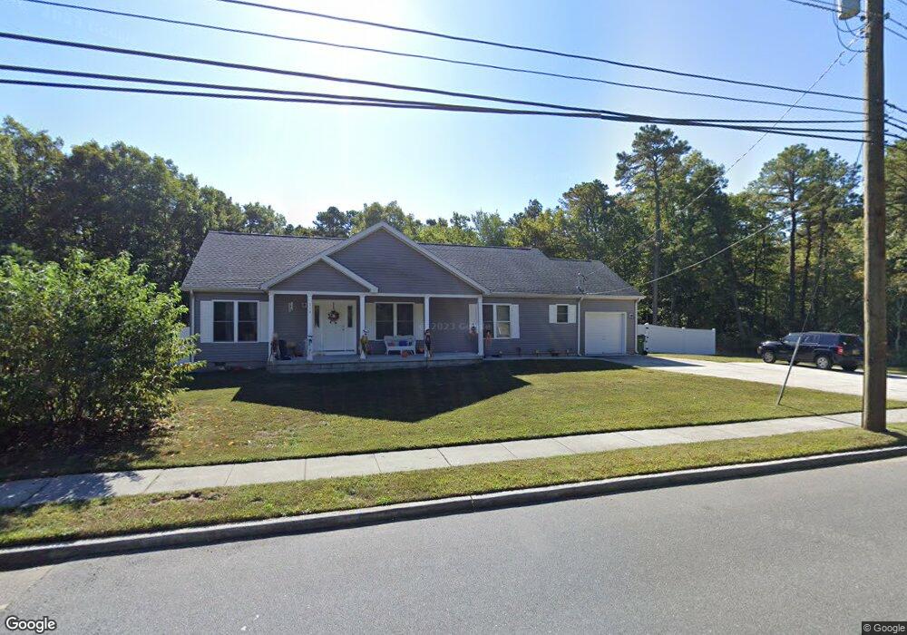
114 Cates Rd Egg Harbor Township, NJ 08234
Estimated Value: $318,000 - $467,000
--
Bed
--
Bath
1,792
Sq Ft
$216/Sq Ft
Est. Value
About This Home
This home is located at 114 Cates Rd, Egg Harbor Township, NJ 08234 and is currently estimated at $386,297, approximately $215 per square foot. 114 Cates Rd is a home located in Atlantic County with nearby schools including Egg Harbor Township High School, Islamic Academy of South Jersey, and English Creek Academy.
Ownership History
Date
Name
Owned For
Owner Type
Purchase Details
Closed on
Jul 12, 2002
Sold by
New Jersey Land Co Llc
Bought by
Morris Michael
Current Estimated Value
Home Financials for this Owner
Home Financials are based on the most recent Mortgage that was taken out on this home.
Original Mortgage
$113,847
Outstanding Balance
$47,817
Interest Rate
6.58%
Mortgage Type
Purchase Money Mortgage
Estimated Equity
$338,480
Purchase Details
Closed on
Dec 5, 2001
Sold by
New Jersey Land Company Llc
Bought by
New Jersey Land Company Llc
Create a Home Valuation Report for This Property
The Home Valuation Report is an in-depth analysis detailing your home's value as well as a comparison with similar homes in the area
Home Values in the Area
Average Home Value in this Area
Purchase History
| Date | Buyer | Sale Price | Title Company |
|---|---|---|---|
| Morris Michael | $51,000 | The Title Company Of Jersey | |
| New Jersey Land Company Llc | -- | -- |
Source: Public Records
Mortgage History
| Date | Status | Borrower | Loan Amount |
|---|---|---|---|
| Open | Morris Michael | $113,847 |
Source: Public Records
Tax History Compared to Growth
Tax History
| Year | Tax Paid | Tax Assessment Tax Assessment Total Assessment is a certain percentage of the fair market value that is determined by local assessors to be the total taxable value of land and additions on the property. | Land | Improvement |
|---|---|---|---|---|
| 2025 | $7,513 | $224,000 | $46,000 | $178,000 |
| 2024 | $7,513 | $224,000 | $46,000 | $178,000 |
| 2023 | $7,470 | $224,000 | $46,000 | $178,000 |
| 2022 | $7,470 | $224,000 | $46,000 | $178,000 |
| 2021 | $7,531 | $224,000 | $46,000 | $178,000 |
| 2020 | $7,394 | $224,000 | $46,000 | $178,000 |
| 2019 | $7,193 | $224,000 | $46,000 | $178,000 |
| 2018 | $7,038 | $224,000 | $46,000 | $178,000 |
| 2017 | $7,013 | $224,000 | $46,000 | $178,000 |
| 2016 | $6,736 | $224,000 | $46,000 | $178,000 |
| 2015 | $6,637 | $224,000 | $46,000 | $178,000 |
| 2014 | $6,505 | $224,000 | $46,000 | $178,000 |
Source: Public Records
Map
Nearby Homes
- 200 Booker Ave
- 303 Springfield Ave
- 6035 W Jersey Ave
- 306 Flatbush Ave
- 3 Atlas Lane Rd
- 311 Glenn Ave
- 110 Leo Ave
- 68 Northridge Dr
- 200 Sycamore Ave
- 3083 Mckee Ave
- 117 Bernard Ave
- 220 Peach Tree Ln
- 106 Leo Ave
- 105 Leo Ave
- 103 Bernard Ave
- 3 Pin Oak Dr
- 114 Wedgewood Dr
- 165 Turnberry Ct
- 154 Muirfield Ct
- 306 Blossom Cir