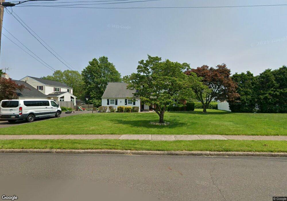
114 Charles Ln Hatboro, PA 19040
Estimated Value: $520,000 - $565,000
4
Beds
3
Baths
2,062
Sq Ft
$261/Sq Ft
Est. Value
About This Home
This home is located at 114 Charles Ln, Hatboro, PA 19040 and is currently estimated at $539,185, approximately $261 per square foot. 114 Charles Ln is a home located in Montgomery County with nearby schools including Hallowell Elementary School, Keith Valley Middle School, and Hatboro-Horsham Senior High School.
Ownership History
Date
Name
Owned For
Owner Type
Purchase Details
Closed on
Apr 21, 2021
Sold by
Boland Mary C
Bought by
Boland Joseph T and Boland Karen
Current Estimated Value
Home Financials for this Owner
Home Financials are based on the most recent Mortgage that was taken out on this home.
Original Mortgage
$303,750
Outstanding Balance
$274,687
Interest Rate
3.1%
Mortgage Type
New Conventional
Estimated Equity
$264,498
Purchase Details
Closed on
Jan 1, 1968
Bought by
Boland Robert N and Boland Mary C
Create a Home Valuation Report for This Property
The Home Valuation Report is an in-depth analysis detailing your home's value as well as a comparison with similar homes in the area
Home Values in the Area
Average Home Value in this Area
Purchase History
| Date | Buyer | Sale Price | Title Company |
|---|---|---|---|
| Boland Joseph T | $405,000 | None Available | |
| Boland Robert N | -- | -- |
Source: Public Records
Mortgage History
| Date | Status | Borrower | Loan Amount |
|---|---|---|---|
| Open | Boland Joseph T | $303,750 |
Source: Public Records
Tax History Compared to Growth
Tax History
| Year | Tax Paid | Tax Assessment Tax Assessment Total Assessment is a certain percentage of the fair market value that is determined by local assessors to be the total taxable value of land and additions on the property. | Land | Improvement |
|---|---|---|---|---|
| 2025 | $5,986 | $152,300 | $45,520 | $106,780 |
| 2024 | $5,986 | $152,300 | $45,520 | $106,780 |
| 2023 | $5,698 | $152,300 | $45,520 | $106,780 |
| 2022 | $5,514 | $152,300 | $45,520 | $106,780 |
| 2021 | $5,383 | $152,300 | $45,520 | $106,780 |
| 2020 | $5,256 | $152,300 | $45,520 | $106,780 |
| 2019 | $5,156 | $152,300 | $45,520 | $106,780 |
| 2018 | $4,081 | $152,300 | $45,520 | $106,780 |
| 2017 | $4,925 | $152,300 | $45,520 | $106,780 |
| 2016 | $4,865 | $152,300 | $45,520 | $106,780 |
| 2015 | $4,646 | $152,300 | $45,520 | $106,780 |
| 2014 | $4,646 | $152,300 | $45,520 | $106,780 |
Source: Public Records
Map
Nearby Homes
- 204 Wilson Ave
- 414 Watson Ave
- 890 Easton Rd
- 604 Liberty Ridge Rd
- 616 Liberty Ridge Rd
- 603 Liberty Ridge Rd
- 605 Liberty Ridge Rd
- 607 Liberty Ridge Rd
- 611 Liberty Ridge Rd
- Faraday Plan at Liberty Ridge
- Westmont Plan at Liberty Ridge
- Northbrook Plan at Liberty Ridge
- 416 Aspen Ln
- 1309 Clyde Rd
- 13 Eagle Ct
- 125 Meetinghouse Rd
- 1274 Beverly Rd
- 1277 Beverly Rd
- 1130 Victoria Rd
- 236 Oak Hill Dr