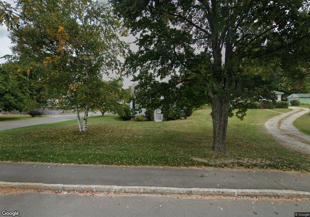
114 Cheshire Rd Pittsfield, MA 01201
Estimated Value: $242,939 - $278,000
3
Beds
1
Bath
1,229
Sq Ft
$212/Sq Ft
Est. Value
About This Home
This home is located at 114 Cheshire Rd, Pittsfield, MA 01201 and is currently estimated at $260,985, approximately $212 per square foot. 114 Cheshire Rd is a home located in Berkshire County with nearby schools including Allendale Elementary School, John T. Reid Middle School, and Pittsfield High School.
Ownership History
Date
Name
Owned For
Owner Type
Purchase Details
Closed on
Nov 5, 1999
Sold by
Brazeau Kmollie C and Morey Loretta B
Bought by
Bailey Thomas G
Current Estimated Value
Home Financials for this Owner
Home Financials are based on the most recent Mortgage that was taken out on this home.
Original Mortgage
$74,000
Interest Rate
7.73%
Mortgage Type
Purchase Money Mortgage
Create a Home Valuation Report for This Property
The Home Valuation Report is an in-depth analysis detailing your home's value as well as a comparison with similar homes in the area
Home Values in the Area
Average Home Value in this Area
Purchase History
| Date | Buyer | Sale Price | Title Company |
|---|---|---|---|
| Bailey Thomas G | $84,000 | -- |
Source: Public Records
Mortgage History
| Date | Status | Borrower | Loan Amount |
|---|---|---|---|
| Open | Bailey Thomas G | $70,000 | |
| Closed | Bailey Thomas G | $74,000 |
Source: Public Records
Tax History Compared to Growth
Tax History
| Year | Tax Paid | Tax Assessment Tax Assessment Total Assessment is a certain percentage of the fair market value that is determined by local assessors to be the total taxable value of land and additions on the property. | Land | Improvement |
|---|---|---|---|---|
| 2025 | $3,059 | $170,500 | $70,300 | $100,200 |
| 2024 | $2,887 | $156,500 | $70,300 | $86,200 |
| 2023 | $2,766 | $151,000 | $70,300 | $80,700 |
| 2022 | $2,600 | $140,100 | $70,300 | $69,800 |
| 2021 | $2,506 | $130,200 | $70,300 | $59,900 |
| 2020 | $2,332 | $118,300 | $60,300 | $58,000 |
| 2019 | $2,307 | $118,800 | $58,300 | $60,500 |
| 2018 | $2,359 | $117,900 | $58,300 | $59,600 |
| 2017 | $2,214 | $112,800 | $55,300 | $57,500 |
| 2016 | $2,135 | $113,800 | $55,300 | $58,500 |
| 2015 | $2,055 | $113,800 | $55,300 | $58,500 |
Source: Public Records
Map
Nearby Homes
- 82 Williamsburg Terrace
- 45 Patricia Ave
- 72 Meadowview Dr
- 17 Kittredge Rd
- 144 Kittredge Rd
- 98 Oak Hill Rd
- 127 Oak Hill Rd
- 0 Cheshire Rd
- 215 Partridge Rd
- 330 Connecticut Ave
- 25 Kensington Ave
- 38 Allengate Ave
- 0 Crane Ave
- 9 Crane Ave
- 326 Dalton Ave
- 1 Pondview Dr Unit C3
- 67 Gulf Rd
- 46 Bossidy Dr
- 52 Bossidy Dr
- 48 Elaine Ave
- 108 Cheshire Rd
- 118 Cheshire Rd
- 14 Deerfield St
- 20 Deerfield St
- 15 Deerfield St
- 100 Cheshire Rd
- 130 Cheshire Rd
- 19 Deerfield St
- 15 Williamsburg Terrace
- 26 Deerfield St
- 96 Cheshire Rd
- 103 Cheshire Rd
- 23 Williamsburg Terrace
- 25 Deerfield St
- 45 Williamsburg Terrace
- 136 Cheshire Rd
- 32 Deerfield St
- 31 Deerfield St
- 74 Greenwich St
- 37 Williamsburg Terrace