114 Cook Rd Tisbury, MA 02568
Vineyard Haven NeighborhoodEstimated Value: $2,373,666
Studio
2
Baths
6,400
Sq Ft
$371/Sq Ft
Est. Value
About This Home
This home is located at 114 Cook Rd, Tisbury, MA 02568 and is currently estimated at $2,373,666, approximately $370 per square foot. 114 Cook Rd is a home located in Dukes County with nearby schools including Tisbury Elementary School, Martha's Vineyard Regional High School, and Martha's Vineyard Charter School.
Ownership History
Date
Name
Owned For
Owner Type
Purchase Details
Closed on
Aug 29, 2017
Sold by
Shirley S Rosenberg Nt and Rosenberg
Bought by
Ncn Llc
Current Estimated Value
Purchase Details
Closed on
Feb 6, 2002
Sold by
Rogers James J and Rogers Kathy
Bought by
Rosenberg Nt S S and Rosenberg Morton M
Create a Home Valuation Report for This Property
The Home Valuation Report is an in-depth analysis detailing your home's value as well as a comparison with similar homes in the area
Home Values in the Area
Average Home Value in this Area
Purchase History
| Date | Buyer | Sale Price | Title Company |
|---|---|---|---|
| Ncn Llc | -- | -- | |
| Rosenberg Nt S S | $528,000 | -- |
Source: Public Records
Tax History
| Year | Tax Paid | Tax Assessment Tax Assessment Total Assessment is a certain percentage of the fair market value that is determined by local assessors to be the total taxable value of land and additions on the property. | Land | Improvement |
|---|---|---|---|---|
| 2025 | $9,020 | $1,233,900 | $711,700 | $522,200 |
| 2024 | $9,839 | $1,233,000 | $711,700 | $521,300 |
| 2023 | $8,428 | $1,254,200 | $711,700 | $542,500 |
| 2022 | $7,263 | $894,400 | $524,600 | $369,800 |
| 2021 | $7,788 | $907,700 | $524,600 | $383,100 |
| 2020 | $7,924 | $907,700 | $524,600 | $383,100 |
| 2019 | $7,765 | $901,900 | $524,600 | $377,300 |
| 2018 | $7,563 | $901,900 | $524,600 | $377,300 |
| 2017 | $7,347 | $859,300 | $494,900 | $364,400 |
| 2016 | $7,364 | $859,300 | $494,900 | $364,400 |
| 2015 | $7,167 | $859,300 | $494,900 | $364,400 |
Source: Public Records
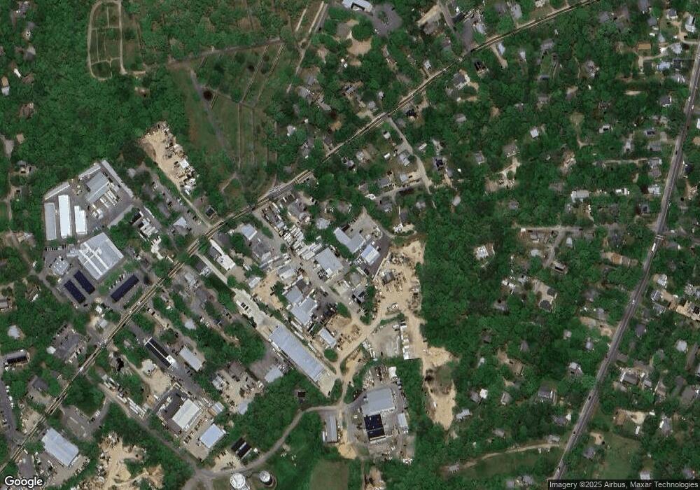
Map
Nearby Homes
- 5A2.12 State Rd
- 378 State Rd
- 51 Lantern Ln
- 50 Lantern Ln
- 15 Goah Way
- 35 Mount Aldworth Rd
- 61 Causeway Rd
- 96 Dunham Ave
- 11 Macs Ln
- 70 Spring St
- 34 Davis St
- 56 Holmes Hole Rd Unit 10
- 56 Holmes Hole Rd
- 124 Skiff Ave Unit C-12
- 124 Skiff Ave Unit C-12
- 10 Putnam Way
- 22 Oklahoma Ave
- 140 Midland Ave
- 33 Lagoon Pond Rd
- 4 Lagoon Pond Rd
- 30 Evelyn Way
- 130 Cook Rd
- 44 Evelyn Way
- 7 Rogers Farm Rd
- 6 Rogers Farm Rd
- 294 State Rd
- 294 State Rd Unit 1
- 294 State Rd Unit 4
- 294 State Rd Unit 3
- 294 State Rd Unit 2
- 54 Evelyn Way
- 117 Cook Rd
- 280 State Rd
- 280 State Rd Unit 1
- 14 Rogers Farm Rd
- 21 Evelyn Way
- 33 Evelyn Way
- 300 State Rd
- 262 State Rd
- 31 Oak Ave
Your Personal Tour Guide
Ask me questions while you tour the home.