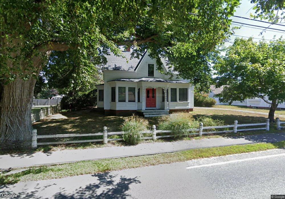
114 Depot St Dennis Port, MA 02639
Dennis Port NeighborhoodEstimated Value: $561,000 - $790,000
4
Beds
2
Baths
2,032
Sq Ft
$336/Sq Ft
Est. Value
About This Home
This home is located at 114 Depot St, Dennis Port, MA 02639 and is currently estimated at $683,441, approximately $336 per square foot. 114 Depot St is a home located in Barnstable County with nearby schools including Dennis-Yarmouth Regional High School and St. Pius X. School.
Ownership History
Date
Name
Owned For
Owner Type
Purchase Details
Closed on
May 7, 2010
Sold by
White Matthew W
Bought by
Braverman Alan H
Current Estimated Value
Home Financials for this Owner
Home Financials are based on the most recent Mortgage that was taken out on this home.
Original Mortgage
$308,000
Interest Rate
5.03%
Mortgage Type
Purchase Money Mortgage
Purchase Details
Closed on
Dec 31, 2003
Sold by
White David Martin and White Elizabeth Kinsl
Bought by
White Matthew W
Create a Home Valuation Report for This Property
The Home Valuation Report is an in-depth analysis detailing your home's value as well as a comparison with similar homes in the area
Home Values in the Area
Average Home Value in this Area
Purchase History
| Date | Buyer | Sale Price | Title Company |
|---|---|---|---|
| Braverman Alan H | $385,000 | -- | |
| Braverman Alan H | $385,000 | -- | |
| White Matthew W | $320,000 | -- | |
| White Matthew W | $320,000 | -- |
Source: Public Records
Mortgage History
| Date | Status | Borrower | Loan Amount |
|---|---|---|---|
| Open | White Matthew W | $308,000 | |
| Closed | Braverman Alan H | $308,000 | |
| Previous Owner | White Matthew W | $150,000 |
Source: Public Records
Tax History Compared to Growth
Tax History
| Year | Tax Paid | Tax Assessment Tax Assessment Total Assessment is a certain percentage of the fair market value that is determined by local assessors to be the total taxable value of land and additions on the property. | Land | Improvement |
|---|---|---|---|---|
| 2025 | $2,343 | $541,100 | $241,000 | $300,100 |
| 2024 | $2,274 | $518,000 | $231,700 | $286,300 |
| 2023 | $2,203 | $471,800 | $210,700 | $261,100 |
| 2022 | $2,162 | $386,000 | $189,800 | $196,200 |
| 2021 | $2,482 | $378,000 | $186,000 | $192,000 |
| 2020 | $21,742 | $361,900 | $171,700 | $190,200 |
| 2019 | $5,915 | $364,000 | $168,400 | $195,600 |
| 2018 | $15,151 | $368,600 | $173,600 | $195,000 |
| 2017 | $2,227 | $362,100 | $160,300 | $201,800 |
| 2016 | $2,197 | $336,400 | $167,000 | $169,400 |
| 2015 | $2,153 | $336,400 | $167,000 | $169,400 |
| 2014 | $2,045 | $322,000 | $146,900 | $175,100 |
Source: Public Records
Map
Nearby Homes
- 26 Manning Rd
- 12 Cross St
- 159 Center St Unit 22
- 11 Ocean Park W
- 73 Division St
- 102 Sea St
- 402 Old Wharf Rd
- 402 Old Wharf Rd
- 9 Chase Ave Unit 6
- 405 Old Wharf Rd Unit B204
- 405 Old Wharf Rd Unit B204
- 221 Upper County Rd Unit 2A
- 221 Upper County Rd Unit 2A
- 148 Belmont Rd
- 12 Candlewood Ln Unit 2-9
- 22 Ferncliff Rd
- 1 E Belmont Unit 630
- 1 Belmont Rd Unit 630
- 1 Belmont Rd Unit 513
- 3 Fairbanks Dr