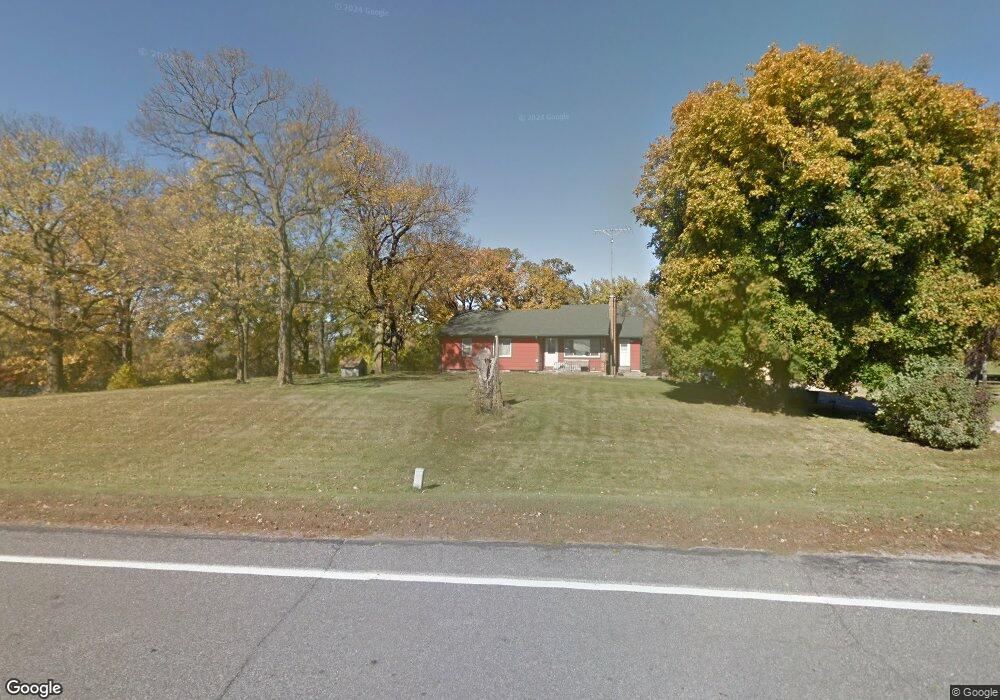
114 Division St W Brownton, MN 55312
Estimated Value: $197,000 - $250,000
3
Beds
2
Baths
1,458
Sq Ft
$147/Sq Ft
Est. Value
About This Home
This home is located at 114 Division St W, Brownton, MN 55312 and is currently estimated at $214,685, approximately $147 per square foot. 114 Division St W is a home located in McLeod County with nearby schools including Lincoln Elementary School, Lakeside Elementary School, and Glencoe-Silver Lake Jr. High School.
Ownership History
Date
Name
Owned For
Owner Type
Purchase Details
Closed on
Nov 2, 2021
Sold by
Fischer Rita M
Bought by
Bullert Thomas Charles and Skarda Chantelle Marie
Current Estimated Value
Home Financials for this Owner
Home Financials are based on the most recent Mortgage that was taken out on this home.
Original Mortgage
$139,650
Outstanding Balance
$126,380
Interest Rate
3.01%
Mortgage Type
New Conventional
Estimated Equity
$88,305
Create a Home Valuation Report for This Property
The Home Valuation Report is an in-depth analysis detailing your home's value as well as a comparison with similar homes in the area
Purchase History
| Date | Buyer | Sale Price | Title Company |
|---|---|---|---|
| Bullert Thomas Charles | $147,000 | Trademark Title |
Source: Public Records
Mortgage History
| Date | Status | Borrower | Loan Amount |
|---|---|---|---|
| Open | Bullert Thomas Charles | $139,650 |
Source: Public Records
Tax History
| Year | Tax Paid | Tax Assessment Tax Assessment Total Assessment is a certain percentage of the fair market value that is determined by local assessors to be the total taxable value of land and additions on the property. | Land | Improvement |
|---|---|---|---|---|
| 2025 | $3,608 | $205,300 | $80,400 | $124,900 |
| 2024 | $3,660 | $201,400 | $80,400 | $121,000 |
| 2023 | $3,660 | $201,400 | $80,400 | $121,000 |
| 2022 | $1,432 | $202,000 | $80,400 | $121,600 |
| 2021 | $1,436 | $158,800 | $61,800 | $97,000 |
| 2020 | $1,370 | $158,800 | $61,800 | $97,000 |
| 2019 | $1,272 | $149,300 | $54,300 | $95,000 |
| 2018 | $1,040 | $0 | $0 | $0 |
| 2017 | $956 | $0 | $0 | $0 |
| 2016 | $930 | $0 | $0 | $0 |
| 2015 | $738 | $0 | $0 | $0 |
| 2014 | -- | $0 | $0 | $0 |
Source: Public Records
Map
Nearby Homes
- xxx Lot 3 Division St W
- 140 1st Ave N
- 124 3rd Ave S
- 226 3rd Ave S
- 352 4th St N
- 529 Division St
- 304 5th Ave N
- XXX US Hwy 212
- xxx Lot 2 Us Hwy 212
- Lot 2 U S Highway 212
- 1002 2nd St N
- 0 57th St
- 11742 Sunset Cir
- 12893 County Road 7
- 7900 Lace Ave
- 7900 Lace Ave N
- Lot 2 Tagus Ave
- 540 Mowbray St
- 821 North St
- 1199 E 2nd St
- 108 Division St E
- 103 1st Ave S
- 132 1st Ave S
- 132 1st Ave S
- 0 1st (Unassigned Address) Ave S
- 204 1st Ave S
- 206 1st Ave S
- 104 2nd St S
- xx Lot 3 Division St W
- 204 204 1st-Avenue-s
- 103 2nd St S
- 137 1st Ave N
- 148 1st Ave N
- 207 1st Ave S
- 143 1st Ave N
- 110 2nd Ave S
- 105 Division St E
- 202 2nd Ave S
- 102 3rd St S
- 208 2nd Ave S
Your Personal Tour Guide
Ask me questions while you tour the home.