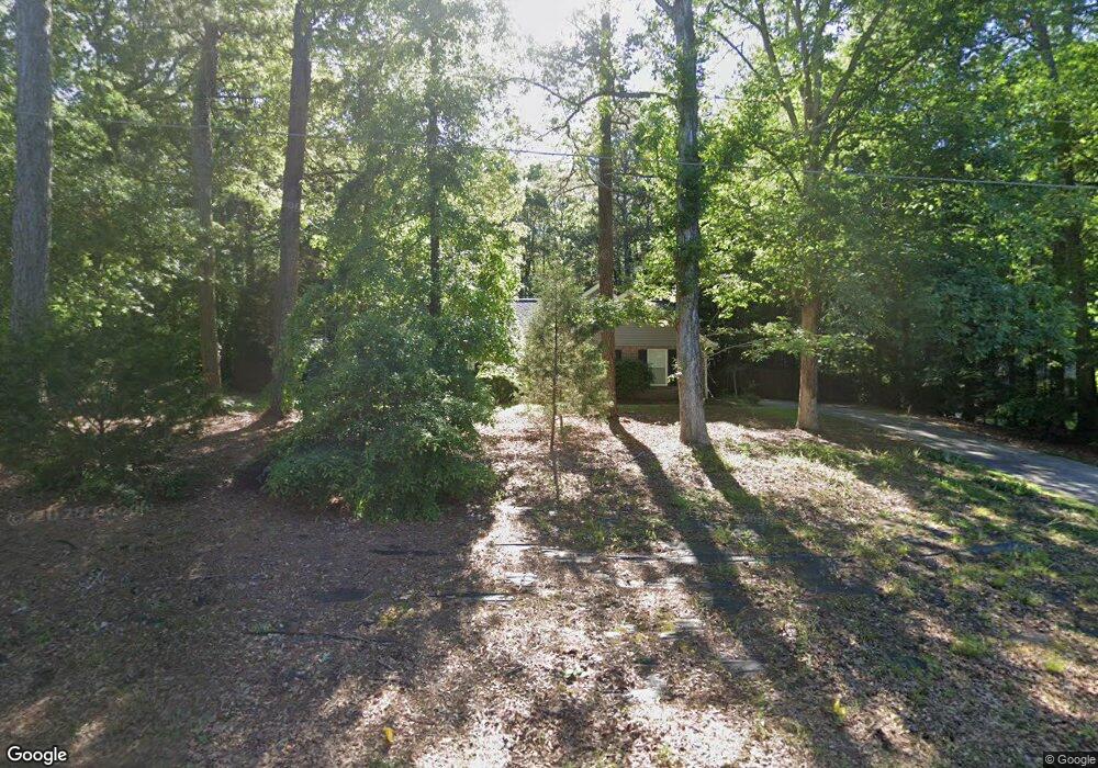
114 Doe Run Dr Sharpsburg, GA 30277
Estimated Value: $235,642 - $306,000
3
Beds
2
Baths
1,162
Sq Ft
$223/Sq Ft
Est. Value
About This Home
This home is located at 114 Doe Run Dr, Sharpsburg, GA 30277 and is currently estimated at $259,661, approximately $223 per square foot. 114 Doe Run Dr is a home located in Coweta County with nearby schools including Willis Road Elementary School, East Coweta Middle School, and East Coweta High School.
Ownership History
Date
Name
Owned For
Owner Type
Purchase Details
Closed on
Nov 24, 2021
Sold by
Davis Todd S
Bought by
Dishburger Paul T
Current Estimated Value
Purchase Details
Closed on
Dec 4, 2008
Sold by
Rose Family Trust
Bought by
Davis Todd S
Home Financials for this Owner
Home Financials are based on the most recent Mortgage that was taken out on this home.
Original Mortgage
$80,000
Interest Rate
6.01%
Mortgage Type
New Conventional
Purchase Details
Closed on
Mar 17, 2008
Sold by
Rose Robert D
Bought by
Rose Family Trust Dated Feb 4 2008
Purchase Details
Closed on
Oct 30, 1992
Bought by
Howard Michael J and Howard C
Purchase Details
Closed on
Aug 11, 1992
Bought by
Premium Builders Inc
Purchase Details
Closed on
Aug 13, 1991
Bought by
Regional Atlanta Dev
Create a Home Valuation Report for This Property
The Home Valuation Report is an in-depth analysis detailing your home's value as well as a comparison with similar homes in the area
Home Values in the Area
Average Home Value in this Area
Purchase History
| Date | Buyer | Sale Price | Title Company |
|---|---|---|---|
| Dishburger Paul T | $171,000 | -- | |
| Davis Todd S | $100,000 | -- | |
| Rose Family Trust Dated Feb 4 2008 | -- | -- | |
| Howard Michael J | $79,100 | -- | |
| Premium Builders Inc | $56,000 | -- | |
| Regional Atlanta Dev | $180,000 | -- |
Source: Public Records
Mortgage History
| Date | Status | Borrower | Loan Amount |
|---|---|---|---|
| Previous Owner | Davis Todd S | $80,000 |
Source: Public Records
Tax History Compared to Growth
Tax History
| Year | Tax Paid | Tax Assessment Tax Assessment Total Assessment is a certain percentage of the fair market value that is determined by local assessors to be the total taxable value of land and additions on the property. | Land | Improvement |
|---|---|---|---|---|
| 2025 | $2,030 | $83,896 | $24,000 | $59,896 |
| 2024 | $2,052 | $86,334 | $24,000 | $62,334 |
| 2023 | $2,052 | $90,984 | $18,000 | $72,984 |
| 2022 | $1,560 | $61,384 | $18,000 | $43,384 |
| 2021 | $1,359 | $49,808 | $18,000 | $31,808 |
| 2020 | $1,368 | $49,808 | $18,000 | $31,808 |
| 2019 | $1,503 | $49,700 | $10,000 | $39,700 |
| 2018 | $1,505 | $49,700 | $10,000 | $39,700 |
| 2017 | $1,505 | $49,700 | $10,000 | $39,700 |
| 2016 | $1,487 | $49,700 | $10,000 | $39,700 |
| 2015 | $1,282 | $43,348 | $10,000 | $33,348 |
| 2014 | $1,272 | $43,348 | $10,000 | $33,348 |
Source: Public Records
Map
Nearby Homes
- 296 Mcintosh Trail
- 28 Fawn Ct
- 0 Bob Smith Rd Unit 10562838
- 196 Bob Smith Rd
- 250 Bob Smith Rd
- 1 Mcintosh Trail
- 483 Mcintosh Trail
- Briarwood Plan at Twelve Parks 55+
- Sullivan Plan at Twelve Parks 55+
- 4 Unicoi Trail
- 12 Unicoi Trail
- Crestwood Plan at Twelve Parks 55+
- 98 Keown Loop
- Brunswick Plan at Twelve Parks 55+
- 138 Main St
- 8 Chiefs Trail
- 40 Long Branch Trail
- 50 Kay Ct
- 140 Halo Trace
- 73 Oakhurst Trail