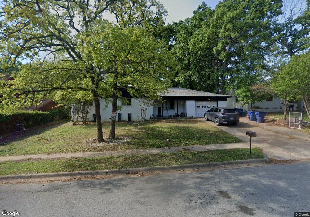
114 Doris Dr Denison, TX 75021
Estimated Value: $214,163 - $228,000
3
Beds
3
Baths
1,707
Sq Ft
$130/Sq Ft
Est. Value
About This Home
This home is located at 114 Doris Dr, Denison, TX 75021 and is currently estimated at $221,082, approximately $129 per square foot. 114 Doris Dr is a home located in Grayson County with nearby schools including Lamar Elementary School, Scott Middle School, and Denison High School.
Ownership History
Date
Name
Owned For
Owner Type
Purchase Details
Closed on
Aug 19, 2025
Sold by
Pate Bryce and Pate Debra
Bought by
Pate Family Revocable Living Trust and Pate
Current Estimated Value
Purchase Details
Closed on
Apr 14, 2016
Sold by
Flynn Bebe A
Bought by
Pate Bryce L and Pate Debra A
Home Financials for this Owner
Home Financials are based on the most recent Mortgage that was taken out on this home.
Original Mortgage
$66,800
Interest Rate
3.64%
Mortgage Type
New Conventional
Create a Home Valuation Report for This Property
The Home Valuation Report is an in-depth analysis detailing your home's value as well as a comparison with similar homes in the area
Home Values in the Area
Average Home Value in this Area
Purchase History
| Date | Buyer | Sale Price | Title Company |
|---|---|---|---|
| Pate Family Revocable Living Trust | -- | None Listed On Document | |
| Pate Bryce L | -- | Chapin Title Co Inc |
Source: Public Records
Mortgage History
| Date | Status | Borrower | Loan Amount |
|---|---|---|---|
| Previous Owner | Pate Bryce L | $66,800 |
Source: Public Records
Tax History Compared to Growth
Tax History
| Year | Tax Paid | Tax Assessment Tax Assessment Total Assessment is a certain percentage of the fair market value that is determined by local assessors to be the total taxable value of land and additions on the property. | Land | Improvement |
|---|---|---|---|---|
| 2025 | $3,393 | $142,797 | $39,936 | $102,861 |
| 2024 | $3,393 | $146,037 | $35,616 | $110,421 |
| 2023 | $3,489 | $154,017 | $35,616 | $118,401 |
| 2022 | $3,444 | $144,947 | $35,616 | $109,331 |
| 2021 | $2,901 | $115,015 | $17,568 | $97,447 |
| 2020 | $2,951 | $111,886 | $17,568 | $94,318 |
| 2019 | $2,964 | $107,724 | $11,808 | $95,916 |
| 2018 | $2,950 | $106,342 | $11,808 | $94,534 |
| 2017 | $2,605 | $93,105 | $11,808 | $81,297 |
| 2016 | $2,369 | $84,673 | $11,808 | $72,865 |
| 2015 | $768 | $91,153 | $9,888 | $81,265 |
| 2014 | $813 | $83,861 | $9,888 | $73,973 |
Source: Public Records
Map
Nearby Homes
- 174 Circle Dr
- 153 Circle Dr
- 430 W Coffin St
- 508 W Florence St
- 513 W Coffin St
- 2000 S Fannin Ave
- 1905 S Lamar Ave
- 1903 S Lamar Ave
- 1901 S Lamar Ave
- 1927 S Fannin Ave
- 505 W Ford St
- 607 W Baker St
- 614 W Collins St
- 608 W Baker St
- 611 W Baker St
- 601 Dubois St
- 614 Rice St
- 616 & 618 Rice St
- 701 W Star St
- 700 Dubois St