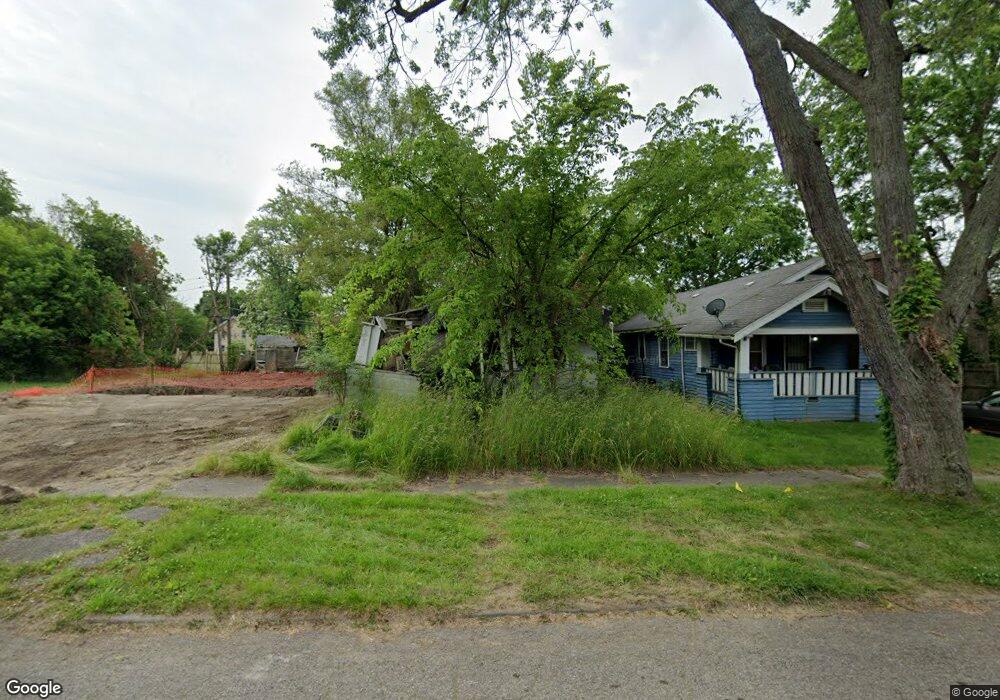
114 E Baker St Flint, MI 48505
King Avenue Plus NeighborhoodEstimated Value: $28,000 - $65,000
2
Beds
1
Bath
960
Sq Ft
$49/Sq Ft
Est. Value
About This Home
This home is located at 114 E Baker St, Flint, MI 48505 and is currently estimated at $47,503, approximately $49 per square foot. 114 E Baker St is a home located in Genesee County with nearby schools including Brownell STEM Academy, Flint Cultural Center Academy, and Greater Heights Academy.
Ownership History
Date
Name
Owned For
Owner Type
Purchase Details
Closed on
Jun 20, 2005
Sold by
Iverson Investments Inc
Bought by
Fowler Susan
Current Estimated Value
Purchase Details
Closed on
Mar 16, 2004
Sold by
Tcif Llc
Bought by
Iverson Investment Inc
Purchase Details
Closed on
Sep 19, 2001
Sold by
Brown Shontell
Bought by
The Provident Bank and Provident Consumer Financial Services
Purchase Details
Closed on
Nov 28, 2000
Sold by
Allen R Allen and Allen G
Bought by
Brown Shontell
Home Financials for this Owner
Home Financials are based on the most recent Mortgage that was taken out on this home.
Original Mortgage
$19,500
Interest Rate
7.7%
Purchase Details
Closed on
Mar 16, 1999
Sold by
Mitts P M
Bought by
Allen Roy and Allen Gwendolyn
Create a Home Valuation Report for This Property
The Home Valuation Report is an in-depth analysis detailing your home's value as well as a comparison with similar homes in the area
Home Values in the Area
Average Home Value in this Area
Purchase History
| Date | Buyer | Sale Price | Title Company |
|---|---|---|---|
| Fowler Susan | $11,250 | -- | |
| Iverson Investment Inc | $4,000 | Landmark Title Services Inc | |
| The Provident Bank | $15,000 | -- | |
| Brown Shontell | $26,000 | Greco Title | |
| Allen Roy | -- | -- |
Source: Public Records
Mortgage History
| Date | Status | Borrower | Loan Amount |
|---|---|---|---|
| Previous Owner | Brown Shontell | $19,500 |
Source: Public Records
Tax History
| Year | Tax Paid | Tax Assessment Tax Assessment Total Assessment is a certain percentage of the fair market value that is determined by local assessors to be the total taxable value of land and additions on the property. | Land | Improvement |
|---|---|---|---|---|
| 2025 | $336 | $4,000 | $0 | $0 |
| 2024 | $329 | $3,800 | $0 | $0 |
| 2023 | $336 | $3,400 | $0 | $0 |
| 2022 | $0 | $2,600 | $0 | $0 |
| 2021 | $331 | $2,900 | $0 | $0 |
| 2020 | $324 | $2,800 | $0 | $0 |
| 2019 | $331 | $3,000 | $0 | $0 |
| 2018 | $279 | $2,700 | $0 | $0 |
| 2017 | $277 | $0 | $0 | $0 |
| 2016 | $277 | $0 | $0 | $0 |
| 2015 | -- | $0 | $0 | $0 |
| 2014 | -- | $0 | $0 | $0 |
| 2012 | -- | $1,100 | $0 | $0 |
Source: Public Records
Map
Nearby Homes
- 218 E Jackson Ave
- 2217 Francis Ave
- 115 E Genesee St
- 200 W Mcclellan St
- 409 W Genesee St
- 506 Green St
- 432 W Dartmouth St
- 132 W Jamieson St
- 320 W Mcclellan St
- 217 W Dewey St
- 501 W Witherbee St
- 630 E Dartmouth St
- 800 Martin Luther King Ave
- 716 W Genesee St
- 1606 Garland St
- 2718 N Chevrolet Ave
- 3205 Dupont St
- 1645 Seminole St
- 3422 Race St
- 3810 Marvin St
- 118 E Baker St
- 110 E Baker St
- 113 E Dayton St
- 2514 M l King Ave
- 2508 M l King Ave
- 126 E Baker St
- 2508 M l King Ave
- 117 E Dayton St
- 130 E Baker St
- 117 E Baker St
- 113 E Baker St
- 2502 M l King Ave
- 121 E Baker St
- 2550 M l King Ave
- 125 E Baker St
- 134 E Baker St
- 129 E Baker St
- 2556 M l King Ave
- 2417 Adams Ave
- 138 E Baker St
Your Personal Tour Guide
Ask me questions while you tour the home.