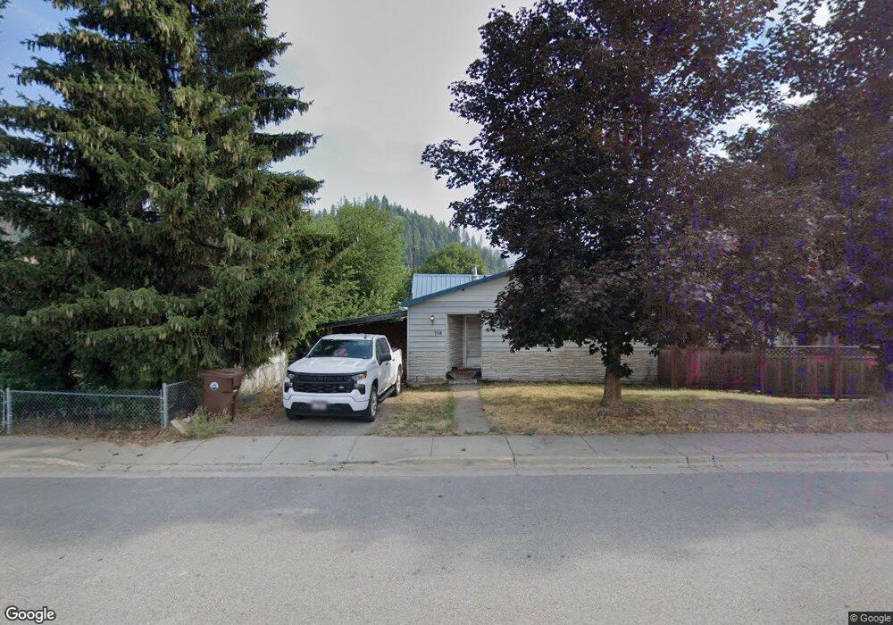
114 E Mullan Ave Osburn, ID 83849
Estimated Value: $265,000 - $307,000
3
Beds
1
Bath
1,536
Sq Ft
$183/Sq Ft
Est. Value
About This Home
This home is located at 114 E Mullan Ave, Osburn, ID 83849 and is currently estimated at $280,975, approximately $182 per square foot. 114 E Mullan Ave is a home located in Shoshone County with nearby schools including Silver Hills Elementary School and Wallace Junior/Senior High School.
Ownership History
Date
Name
Owned For
Owner Type
Purchase Details
Closed on
Jun 26, 2017
Sold by
Weinkauf John G and Weinkauf John
Bought by
Deaton Kenneth and Deaton Leanna
Current Estimated Value
Home Financials for this Owner
Home Financials are based on the most recent Mortgage that was taken out on this home.
Original Mortgage
$76,800
Outstanding Balance
$64,087
Interest Rate
4.05%
Mortgage Type
New Conventional
Estimated Equity
$216,888
Create a Home Valuation Report for This Property
The Home Valuation Report is an in-depth analysis detailing your home's value as well as a comparison with similar homes in the area
Purchase History
| Date | Buyer | Sale Price | Title Company |
|---|---|---|---|
| Deaton Kenneth | -- | Alliance Title & Escrow Corp |
Source: Public Records
Mortgage History
| Date | Status | Borrower | Loan Amount |
|---|---|---|---|
| Open | Deaton Kenneth | $76,800 |
Source: Public Records
Tax History
| Year | Tax Paid | Tax Assessment Tax Assessment Total Assessment is a certain percentage of the fair market value that is determined by local assessors to be the total taxable value of land and additions on the property. | Land | Improvement |
|---|---|---|---|---|
| 2025 | $2,099 | $236,283 | $53,003 | $183,280 |
| 2024 | $2,127 | $236,283 | $53,003 | $183,280 |
| 2023 | $2,127 | $222,873 | $53,003 | $169,870 |
| 2022 | $2,338 | $203,770 | $47,460 | $156,310 |
| 2021 | $2,772 | $164,585 | $40,335 | $124,250 |
| 2020 | $2,474 | $128,933 | $35,653 | $93,280 |
| 2019 | $2,242 | $112,198 | $32,568 | $79,630 |
| 2018 | $984 | $79,208 | $29,608 | $49,600 |
| 2017 | $1,816 | $78,278 | $29,608 | $48,670 |
| 2016 | $1,931 | $79,818 | $29,608 | $50,210 |
| 2015 | -- | $75,478 | $29,608 | $45,870 |
| 2014 | -- | $80,438 | $29,608 | $50,830 |
Source: Public Records
Map
Nearby Homes
- 406 E Larch Ave
- 1600 W Yellowstone Ave Unit 31
- 603 E Larch Ave
- 807 E Garden Ave
- 905 Terror Gulch Rd
- 1151 E Fir
- 235 Rio Vista St
- 208 Rio Vista St
- 104 W 9th St
- 3 Polaris Peak Rd
- 2 Polaris Peak Rd
- 1 Polaris Peak Rd
- 498 Revenue Gulch Rd
- 86 E Circle Dr
- NKA Country Club Rd
- 930 Moon Gulch Rd
- 1068 Moon Gulch Rd
- NNA Italian Gulch
- 214 Cypress St
- 504 1st St
Your Personal Tour Guide
Ask me questions while you tour the home.