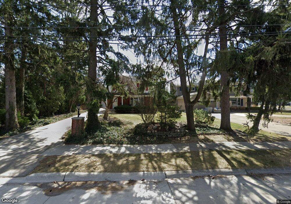
114 E Sunnybrook Dr Royal Oak, MI 48073
Estimated Value: $480,000 - $545,000
4
Beds
3
Baths
2,024
Sq Ft
$252/Sq Ft
Est. Value
About This Home
This home is located at 114 E Sunnybrook Dr, Royal Oak, MI 48073 and is currently estimated at $510,383, approximately $252 per square foot. 114 E Sunnybrook Dr is a home located in Oakland County with nearby schools including Oak Ridge Elementary School, Royal Oak Middle School, and Royal Oak High School.
Ownership History
Date
Name
Owned For
Owner Type
Purchase Details
Closed on
May 31, 2018
Sold by
Zakul Krupa Ilene
Bought by
Zakul Krupa Ilene and Ilene Zakul Krupa Living Trust
Current Estimated Value
Home Financials for this Owner
Home Financials are based on the most recent Mortgage that was taken out on this home.
Original Mortgage
$70,000
Outstanding Balance
$51,488
Interest Rate
4.5%
Mortgage Type
Purchase Money Mortgage
Estimated Equity
$458,895
Purchase Details
Closed on
Aug 8, 2002
Sold by
Krupa Ilene Z
Bought by
Krupa Ilene Z
Create a Home Valuation Report for This Property
The Home Valuation Report is an in-depth analysis detailing your home's value as well as a comparison with similar homes in the area
Home Values in the Area
Average Home Value in this Area
Purchase History
| Date | Buyer | Sale Price | Title Company |
|---|---|---|---|
| Zakul Krupa Ilene | -- | None Available | |
| Zakul Krupa Ilene | -- | None Available | |
| Krupa Ilene Z | -- | -- |
Source: Public Records
Mortgage History
| Date | Status | Borrower | Loan Amount |
|---|---|---|---|
| Open | Zakul Krupa Ilene | $70,000 | |
| Closed | Zakul Krupa Ilene | $70,000 |
Source: Public Records
Tax History Compared to Growth
Tax History
| Year | Tax Paid | Tax Assessment Tax Assessment Total Assessment is a certain percentage of the fair market value that is determined by local assessors to be the total taxable value of land and additions on the property. | Land | Improvement |
|---|---|---|---|---|
| 2024 | $4,612 | $204,180 | $0 | $0 |
| 2022 | $5,450 | $177,650 | $0 | $0 |
| 2020 | $4,482 | $159,960 | $0 | $0 |
| 2018 | $5,450 | $144,270 | $0 | $0 |
| 2017 | $5,238 | $144,270 | $0 | $0 |
| 2015 | -- | $142,540 | $0 | $0 |
| 2014 | -- | $142,700 | $0 | $0 |
| 2011 | -- | $127,080 | $0 | $0 |
Source: Public Records
Map
Nearby Homes
- 306 Charlotte Ave
- 216 Woodside Rd
- 320 W Sunnybrook Dr
- 407 Jeffrey Ave
- 3910 Bellevue Ave
- 142 Midland Blvd
- 501 E Sunnybrook Dr
- 42 Gladwin Ave
- 206 E Windemere Ave
- 253 Massoit St
- 306 W 13 Mile Rd
- 3538 Rochester Rd
- 31 Walper Ave
- 140 E Lawrence Ave
- 104 Charlevoix St
- 619 E Thirteen Mile Rd
- 623 E Thirteen Mile Rd
- 625 Whitcomb Ave
- 608 E Windemere Ave
- 333 E La Salle Ave
- 100 E Sunnybrook Dr
- 130 E Sunnybrook Dr
- 115 Edmund Ave
- 121 Edmund Ave
- 103 Edmund Ave
- 127 Edmund Ave
- 133 Edmund Ave
- 133 E Sunnybrook Dr
- 136 E Sunnybrook Dr
- 103 W Sunnybrook Dr Unit Bldg-Unit
- 103 W Sunnybrook Dr
- 107 W Sunnybrook Dr
- 102 W Sunnybrook Dr
- 139 Edmund Ave
- 102 Charlotte Ave
- 3818 N Main St
- 132 Edmund Ave
- 142 E Sunnybrook Dr
- 120 Edmund Ave
- 106 W Sunnybrook Dr