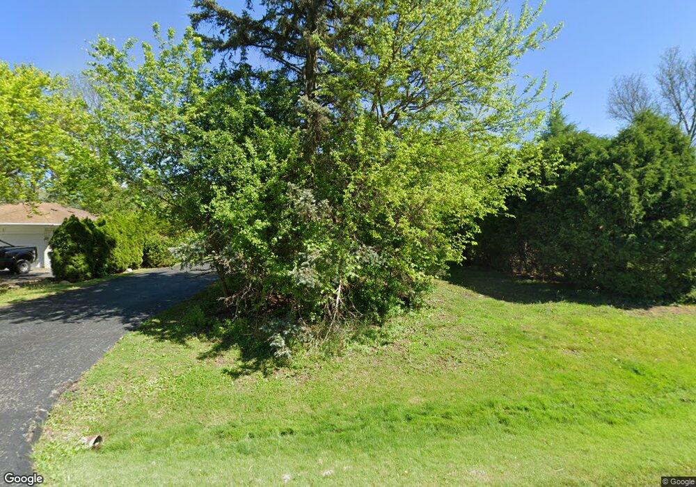
114 Eileen Dr Bloomfield Hills, MI 48302
Estimated Value: $388,000 - $447,000
3
Beds
2
Baths
1,660
Sq Ft
$250/Sq Ft
Est. Value
About This Home
This home is located at 114 Eileen Dr, Bloomfield Hills, MI 48302 and is currently estimated at $415,276, approximately $250 per square foot. 114 Eileen Dr is a home located in Oakland County with nearby schools including Way Elementary School, South Hills Middle School, and Bloomfield Hills High School.
Ownership History
Date
Name
Owned For
Owner Type
Purchase Details
Closed on
Dec 9, 2013
Sold by
Jaskolski Theodore T and Stefanovich Robert James
Bought by
Jaskolski Theodore T and Stefanovich Robert James
Current Estimated Value
Home Financials for this Owner
Home Financials are based on the most recent Mortgage that was taken out on this home.
Original Mortgage
$270,000
Interest Rate
2.66%
Mortgage Type
Reverse Mortgage Home Equity Conversion Mortgage
Create a Home Valuation Report for This Property
The Home Valuation Report is an in-depth analysis detailing your home's value as well as a comparison with similar homes in the area
Home Values in the Area
Average Home Value in this Area
Purchase History
| Date | Buyer | Sale Price | Title Company |
|---|---|---|---|
| Jaskolski Theodore T | -- | None Available |
Source: Public Records
Mortgage History
| Date | Status | Borrower | Loan Amount |
|---|---|---|---|
| Closed | Jaskolski Theodore T | $270,000 |
Source: Public Records
Tax History
| Year | Tax Paid | Tax Assessment Tax Assessment Total Assessment is a certain percentage of the fair market value that is determined by local assessors to be the total taxable value of land and additions on the property. | Land | Improvement |
|---|---|---|---|---|
| 2025 | $4,259 | $194,830 | $26,660 | $168,170 |
| 2024 | $2,140 | $194,830 | $0 | $0 |
| 2023 | $2,071 | $167,640 | $0 | $0 |
| 2022 | $3,893 | $153,230 | $0 | $0 |
| 2021 | $3,871 | $149,370 | $0 | $0 |
| 2020 | $1,894 | $149,280 | $0 | $0 |
| 2019 | $3,645 | $132,060 | $0 | $0 |
| 2018 | $3,655 | $120,220 | $0 | $0 |
| 2017 | $3,629 | $117,650 | $0 | $0 |
| 2016 | $3,634 | $112,460 | $0 | $0 |
| 2015 | -- | $103,320 | $0 | $0 |
| 2014 | -- | $100,230 | $0 | $0 |
| 2011 | -- | $88,500 | $0 | $0 |
Source: Public Records
Map
Nearby Homes
- 00 S Berkshire
- 1661 Winthrop Rd
- 75 Hillsdale Rd
- 95 Hillsdale Rd
- 2155 Devonshire Rd
- 62 Barrington Rd
- 164 Timber Trace Ln
- 240 Applewood Ln
- 2570 Aspen Ln
- 2449 Mulberry Square Unit 28
- 2738 Berry Dr
- 200 Cedardale Ave
- 33 Earlmoor Blvd
- 519 Highland Ave
- 486 Fildew Ave
- 483 Pearsall Ave
- 112 E Hickory Grove Rd Unit 26
- 0000 Central Ave
- 481 Harvey Ave
- 503 Central Ave
- 122 Eileen Dr
- 106 Eileen Dr
- 130 Eileen Dr
- 90 Eileen Dr
- 101 Eileen Dr
- 2352 Bratton Ave
- 129 Eileen Dr
- 72 Eileen Dr
- 146 Eileen Dr
- 2370 Bratton Ave
- 43 S Berkshire Rd
- 2371 Sanders Place
- 154 Eileen Dr
- 27 S Berkshire Rd
- 57 S Berkshire Rd
- 2387 Sanders Place
- 2400 Bratton Ave
- 2381 Bratton Ave
- 162 Eileen Dr
- 2403 Sanders Place
Your Personal Tour Guide
Ask me questions while you tour the home.
