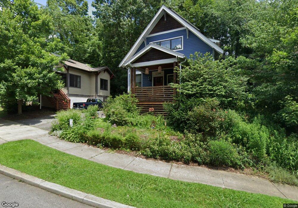
114 Estes Ct Asheville, NC 28806
West Asheville NeighborhoodEstimated Value: $596,670 - $654,000
3
Beds
2
Baths
1,416
Sq Ft
$450/Sq Ft
Est. Value
About This Home
This home is located at 114 Estes Ct, Asheville, NC 28806 and is currently estimated at $637,668, approximately $450 per square foot. 114 Estes Ct is a home located in Buncombe County with nearby schools including Hall Fletcher Elementary, Isaac Dickson Elementary, and Ira B Jones Elementary.
Ownership History
Date
Name
Owned For
Owner Type
Purchase Details
Closed on
Mar 25, 2019
Sold by
Black Valerie and Black Charles S
Bought by
50 Pokeweed Lane Llc
Current Estimated Value
Purchase Details
Closed on
Sep 2, 2010
Sold by
Green Development Llc
Bought by
Black Valerie
Home Financials for this Owner
Home Financials are based on the most recent Mortgage that was taken out on this home.
Original Mortgage
$246,150
Interest Rate
4.59%
Mortgage Type
New Conventional
Create a Home Valuation Report for This Property
The Home Valuation Report is an in-depth analysis detailing your home's value as well as a comparison with similar homes in the area
Home Values in the Area
Average Home Value in this Area
Purchase History
| Date | Buyer | Sale Price | Title Company |
|---|---|---|---|
| 50 Pokeweed Lane Llc | -- | None Available | |
| Black Valerie | $273,500 | None Available |
Source: Public Records
Mortgage History
| Date | Status | Borrower | Loan Amount |
|---|---|---|---|
| Previous Owner | Black Valerie | $246,150 |
Source: Public Records
Tax History Compared to Growth
Tax History
| Year | Tax Paid | Tax Assessment Tax Assessment Total Assessment is a certain percentage of the fair market value that is determined by local assessors to be the total taxable value of land and additions on the property. | Land | Improvement |
|---|---|---|---|---|
| 2025 | $4,138 | $400,500 | $69,600 | $330,900 |
| 2024 | $4,138 | $400,500 | $69,600 | $330,900 |
| 2023 | $4,138 | $400,500 | $69,600 | $330,900 |
| 2022 | $3,994 | $400,500 | $0 | $0 |
| 2021 | $3,994 | $400,500 | $0 | $0 |
| 2020 | $3,384 | $313,900 | $0 | $0 |
| 2019 | $3,384 | $313,900 | $0 | $0 |
| 2018 | $3,384 | $313,900 | $0 | $0 |
| 2017 | $3,415 | $249,600 | $0 | $0 |
| 2016 | $3,068 | $249,600 | $0 | $0 |
| 2015 | $3,068 | $249,600 | $0 | $0 |
| 2014 | $3,030 | $249,600 | $0 | $0 |
Source: Public Records
Map
Nearby Homes
- 15 Perdue Place
- 43 Vermont Ct Unit D14
- 9999 Rex Dr
- 42 Talmadge St
- 42 Salola St
- 59 Morningside Dr
- 12 Rex Dr
- 12 & 9999 Rex Dr
- 85 Carrier St
- 445 Sand Hill Rd Unit 1-6
- 162 Morningside Dr
- 32 Harnett St
- 59 Greeley St
- 56 Brevard Rd
- 89 Galax Ave
- 78 Middlemont Ave
- 22 Narbeth Rd
- 155 Sulphur Springs Rd
- 32 Merion Dr
- 30 Sand Hill Rd