114 Flint Ridge Rd Saint Albans, WV 25177
Estimated Value: $199,000 - $254,855
2
Beds
2
Baths
1,740
Sq Ft
$130/Sq Ft
Est. Value
About This Home
This home is located at 114 Flint Ridge Rd, Saint Albans, WV 25177 and is currently estimated at $226,964, approximately $130 per square foot. 114 Flint Ridge Rd is a home located in Kanawha County with nearby schools including George C. Weimer Elementary School, McKinley Middle School, and Saint Albans High School.
Ownership History
Date
Name
Owned For
Owner Type
Purchase Details
Closed on
Jul 19, 2021
Sold by
Nr Deed Llc
Bought by
Solis Andres
Current Estimated Value
Home Financials for this Owner
Home Financials are based on the most recent Mortgage that was taken out on this home.
Original Mortgage
$171,830
Outstanding Balance
$155,669
Interest Rate
2.8%
Mortgage Type
FHA
Estimated Equity
$71,295
Purchase Details
Closed on
Sep 30, 2003
Sold by
Johnson Robert F
Bought by
Bradshaw James E
Create a Home Valuation Report for This Property
The Home Valuation Report is an in-depth analysis detailing your home's value as well as a comparison with similar homes in the area
Home Values in the Area
Average Home Value in this Area
Purchase History
| Date | Buyer | Sale Price | Title Company |
|---|---|---|---|
| Solis Andres | $175,000 | Attorney | |
| Bradshaw James E | $112,500 | -- |
Source: Public Records
Mortgage History
| Date | Status | Borrower | Loan Amount |
|---|---|---|---|
| Open | Solis Andres | $171,830 |
Source: Public Records
Tax History Compared to Growth
Tax History
| Year | Tax Paid | Tax Assessment Tax Assessment Total Assessment is a certain percentage of the fair market value that is determined by local assessors to be the total taxable value of land and additions on the property. | Land | Improvement |
|---|---|---|---|---|
| 2024 | $1,465 | $116,610 | $37,590 | $79,020 |
| 2023 | $1,406 | $111,570 | $37,590 | $73,980 |
| 2022 | $2,708 | $107,490 | $37,590 | $69,900 |
| 2021 | $2,466 | $97,890 | $37,590 | $60,300 |
| 2020 | $2,491 | $98,850 | $37,590 | $61,260 |
| 2019 | $1,241 | $98,490 | $37,590 | $60,900 |
| 2018 | $1,103 | $98,490 | $37,590 | $60,900 |
| 2017 | $1,116 | $99,450 | $37,590 | $61,860 |
| 2016 | $1,119 | $99,360 | $37,440 | $61,920 |
| 2015 | $1,128 | $100,450 | $37,440 | $63,010 |
| 2014 | $1,071 | $97,010 | $37,440 | $59,570 |
Source: Public Records
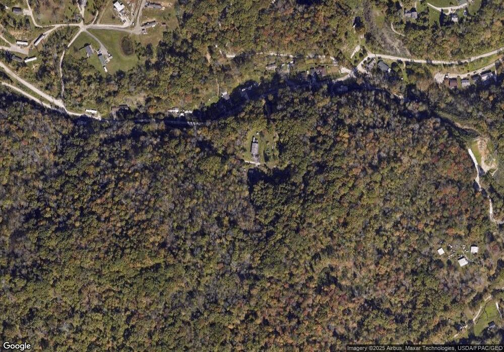
Map
Nearby Homes
- 820 Green Valley Dr
- 524 Cane Fork Ln
- 946 S Walnut St
- 1138 Summit Dr
- 1203 Summit Ct
- 816 Shrewsbury Dr
- 6 Squires Dr
- 103 Fernwood Rd
- 100 Fernwood Rd
- 3211 Georges Dr
- 3223 Georges Dr
- 863 Valley Pike Dr
- 862 Hudson St
- 1636 Ferrell Rd
- 2708 Monroe Ave
- 845 Hudson St
- 204 4th St E
- 2522 Washington Ave
- 2316 Jefferson Ave
- 2508 Washington Ave
- 117 Flint Ridge Rd
- 107 Flint Ridge Rd
- 1066 Green Valley Dr
- 1060 Green Valley Dr
- 1068 Green Valley Dr Unit C
- 1068 Green Valley Dr
- 1052 Green Valley Dr
- 1044 Green Valley Dr
- 1046 Green Valley Dr
- 1013 Green Valley Dr
- 1042 Green Valley Dr
- 1040 Green Valley Dr
- 1045 Green Valley Dr
- 1009 Green Valley Dr
- 1009 Green Valley Dr Unit B
- 12 Hilliard Dr
- 1092 Green Valley Dr
- 1040 Middle Dr
- 1007 Green Valley Dr
- 1096 Green Valley Dr