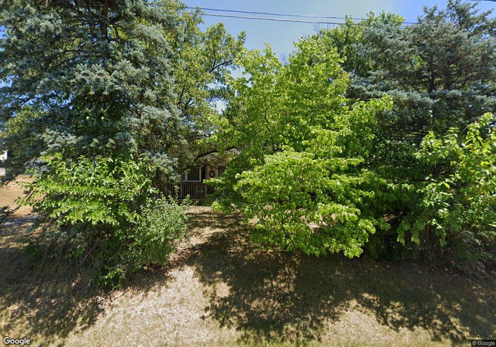
114 Huntcrest Cir Winchester, VA 22602
Estimated Value: $275,959 - $326,000
3
Beds
1
Bath
1,008
Sq Ft
$300/Sq Ft
Est. Value
About This Home
This home is located at 114 Huntcrest Cir, Winchester, VA 22602 and is currently estimated at $302,240, approximately $299 per square foot. 114 Huntcrest Cir is a home located in Frederick County with nearby schools including Admiral Richard E. Byrd Middle School, Millbrook High School, and Sharon's Centre.
Ownership History
Date
Name
Owned For
Owner Type
Purchase Details
Closed on
Apr 15, 2025
Sold by
Carroll Living Trust and Carroll Flora A
Bought by
F-N S Enterprises Llc
Current Estimated Value
Purchase Details
Closed on
Apr 1, 2005
Sold by
Seibel Evangeline
Bought by
Carroll Roger and Carroll Carroll,Matthew
Home Financials for this Owner
Home Financials are based on the most recent Mortgage that was taken out on this home.
Original Mortgage
$150,100
Interest Rate
5.61%
Mortgage Type
New Conventional
Create a Home Valuation Report for This Property
The Home Valuation Report is an in-depth analysis detailing your home's value as well as a comparison with similar homes in the area
Home Values in the Area
Average Home Value in this Area
Purchase History
| Date | Buyer | Sale Price | Title Company |
|---|---|---|---|
| F-N S Enterprises Llc | -- | None Listed On Document | |
| Carroll Roger | $189,000 | -- |
Source: Public Records
Mortgage History
| Date | Status | Borrower | Loan Amount |
|---|---|---|---|
| Previous Owner | Carroll Roger | $150,100 |
Source: Public Records
Tax History Compared to Growth
Tax History
| Year | Tax Paid | Tax Assessment Tax Assessment Total Assessment is a certain percentage of the fair market value that is determined by local assessors to be the total taxable value of land and additions on the property. | Land | Improvement |
|---|---|---|---|---|
| 2025 | $1,300 | $270,900 | $93,000 | $177,900 |
| 2024 | $566 | $222,000 | $77,000 | $145,000 |
| 2023 | $1,132 | $222,000 | $77,000 | $145,000 |
| 2022 | $1,024 | $167,900 | $72,000 | $95,900 |
| 2021 | $1,024 | $167,900 | $72,000 | $95,900 |
| 2020 | $928 | $152,200 | $72,000 | $80,200 |
| 2019 | $928 | $152,200 | $72,000 | $80,200 |
| 2018 | $855 | $140,200 | $72,000 | $68,200 |
| 2017 | $841 | $140,200 | $72,000 | $68,200 |
| 2016 | $746 | $124,300 | $59,500 | $64,800 |
| 2015 | $696 | $124,300 | $59,500 | $64,800 |
| 2014 | $357 | $121,000 | $59,500 | $61,500 |
Source: Public Records
Map
Nearby Homes
- Homesite 195 Malbec
- Homesite 184 Malbec
- Homesite 191 Malbec
- Drexel Plan at Abrams Pointe
- Avalon Plan at Abrams Pointe
- 161 Williamson Rd
- Carlisle Plan at Abrams Pointe
- Somerset Plan at Abrams Pointe
- Rockford Plan at Abrams Pointe
- Birmingham Plan at Abrams Pointe
- 107 Malbec Rd
- 107 Malbec Ct
- 5 Williamson Rd
- 4 Williamson Rd
- 3 Williamson Rd
- 2 Williamson Rd
- 1 Williamson Rd
- 213 Crest Cir
- 105 Worsham Terrace
- 159 Williamson Rd
- 116 Huntcrest Cir
- 112 Huntcrest Cir
- 110 Huntcrest Cir
- 118 Huntcrest Cir
- 113 Huntcrest Cir
- 117 Huntcrest Cir
- 111 Huntcrest Cir
- 108 Huntcrest Cir
- 120 Huntcrest Cir
- 224 Village Ct
- 105 Huntcrest Cir
- 218 Village Ct
- 102 Dale Ct
- 101 Huntcrest Cir
- 124 Huntcrest Cir
- 106 Huntcrest Cir
- 104 Dale Ct
- 223 Village Ct
- 104 Huntcrest Cir
- 126 Huntcrest Cir