114 Independence Ct Centreville, MD 21617
Estimated Value: $545,450 - $649,000
--
Bed
--
Bath
2,020
Sq Ft
$303/Sq Ft
Est. Value
About This Home
This home is located at 114 Independence Ct, Centreville, MD 21617 and is currently estimated at $611,863, approximately $302 per square foot. 114 Independence Ct is a home located in Queen Anne's County with nearby schools including Centreville Elementary School, Kennard Elementary School, and Centreville Middle School.
Ownership History
Date
Name
Owned For
Owner Type
Purchase Details
Closed on
Aug 7, 2020
Sold by
Upstream Investments Llc
Bought by
Red Oak Properties Llc
Current Estimated Value
Home Financials for this Owner
Home Financials are based on the most recent Mortgage that was taken out on this home.
Original Mortgage
$418,926
Outstanding Balance
$371,617
Interest Rate
3%
Mortgage Type
New Conventional
Estimated Equity
$240,246
Purchase Details
Closed on
Nov 18, 2011
Sold by
Dean Franklin H
Bought by
Usptream Investments Llc
Create a Home Valuation Report for This Property
The Home Valuation Report is an in-depth analysis detailing your home's value as well as a comparison with similar homes in the area
Home Values in the Area
Average Home Value in this Area
Purchase History
| Date | Buyer | Sale Price | Title Company |
|---|---|---|---|
| Red Oak Properties Llc | $465,474 | None Available | |
| Usptream Investments Llc | $285,000 | None Available |
Source: Public Records
Mortgage History
| Date | Status | Borrower | Loan Amount |
|---|---|---|---|
| Open | Red Oak Properties Llc | $418,926 |
Source: Public Records
Tax History Compared to Growth
Tax History
| Year | Tax Paid | Tax Assessment Tax Assessment Total Assessment is a certain percentage of the fair market value that is determined by local assessors to be the total taxable value of land and additions on the property. | Land | Improvement |
|---|---|---|---|---|
| 2025 | $4,331 | $459,800 | $83,500 | $376,300 |
| 2024 | $4,029 | $427,667 | $0 | $0 |
| 2023 | $3,726 | $395,533 | $0 | $0 |
| 2022 | $3,423 | $363,400 | $83,500 | $279,900 |
| 2021 | $3,485 | $363,400 | $83,500 | $279,900 |
| 2020 | $609 | $63,500 | $63,500 | $0 |
| 2019 | $705 | $73,500 | $73,500 | $0 |
| 2018 | $201 | $21,000 | $21,000 | $0 |
| 2017 | $201 | $21,000 | $0 | $0 |
| 2016 | -- | $21,000 | $0 | $0 |
| 2015 | $644 | $19,000 | $0 | $0 |
| 2014 | $644 | $17,000 | $0 | $0 |
Source: Public Records
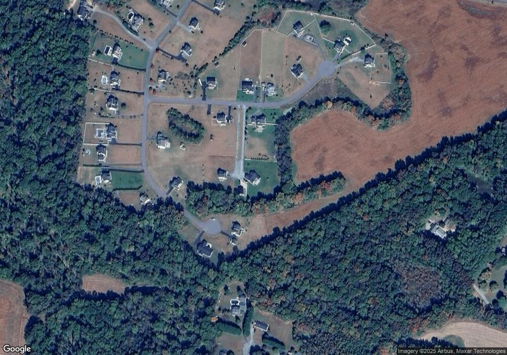
Map
Nearby Homes
- 113 Paulowina Rd
- 408 Laurens Way
- 129 Thicket Ct
- 107 Thicket Ct
- 219 Songbird Ln
- 104 Gadd Dr
- 112 Echo Ln
- 116 Pasture Ct
- Merion Plan at Meadow Creek
- Windermere Plan at Meadow Creek
- Doral Plan at Meadow Creek
- Sawgrass Plan at Meadow Creek
- Pinehurst Plan at Meadow Creek
- Congressional Plan at Meadow Creek
- 415 Twin Meadows Farm Ln
- 104 Pasture Ct
- 325 Twin Meadows Farm Ln
- 0 Neighbors Rd
- 217 Austin Ct
- 12615 Eveland Rd
- 110 Independence Ct
- 120 Independence Ct
- 106 Independence Ct
- 239 Patriot Way
- 219 Patriot Way
- 207 Patriot Way
- 117 Independence Ct
- 117 Independence Ct
- 117 Independence Ct
- 105 Independence (Lot 47) Ct
- 105 ( lot 47) Independence Ct
- 240 Patriot ( Lot 33) Way
- 240 Patriot Way
- 105 Independence Ct
- 123 Independence Ct
- 208 Patriot ( Lot 30) Way
- 220 Patriot Way
- 129 Independence Ct
- 208 Patriot Way
- 137 Patriot Way