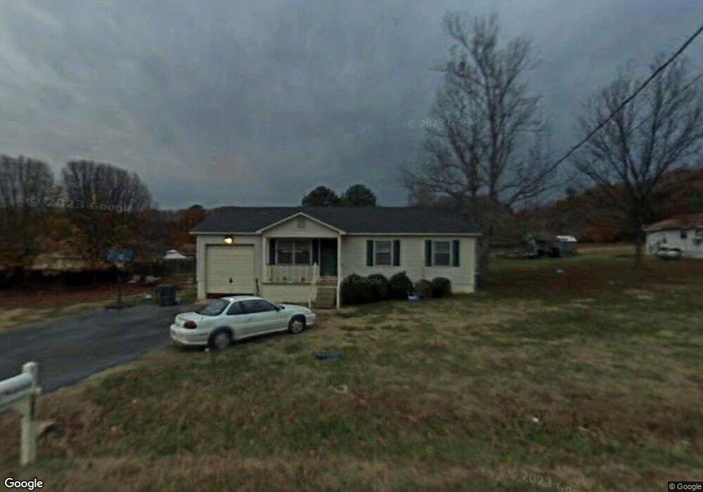
114 J O Underwood Dr New Market, AL 35761
Estimated Value: $144,000 - $197,000
3
Beds
1
Bath
1,013
Sq Ft
$166/Sq Ft
Est. Value
About This Home
This home is located at 114 J O Underwood Dr, New Market, AL 35761 and is currently estimated at $168,316, approximately $166 per square foot. 114 J O Underwood Dr is a home located in Madison County with nearby schools including New Market School, Buckhorn Middle School, and Buckhorn High School.
Ownership History
Date
Name
Owned For
Owner Type
Purchase Details
Closed on
Aug 18, 2010
Sold by
Taylor Wayne H and Taylor Linda K
Bought by
White David and White Beth
Current Estimated Value
Purchase Details
Closed on
Dec 15, 2009
Sold by
Deutsche Bank National Trust Co
Bought by
Taylor Wayne H and Taylor Linda K
Purchase Details
Closed on
Oct 8, 2009
Sold by
Prysock Michael S and Ashby Amber R
Bought by
Deutsche Bank National Trust Co
Purchase Details
Closed on
Feb 28, 2006
Sold by
Edwards Jimmy D
Bought by
Prysock Michael S and Ashby Amber R
Home Financials for this Owner
Home Financials are based on the most recent Mortgage that was taken out on this home.
Original Mortgage
$64,000
Interest Rate
9.87%
Mortgage Type
Adjustable Rate Mortgage/ARM
Create a Home Valuation Report for This Property
The Home Valuation Report is an in-depth analysis detailing your home's value as well as a comparison with similar homes in the area
Home Values in the Area
Average Home Value in this Area
Purchase History
| Date | Buyer | Sale Price | Title Company |
|---|---|---|---|
| White David | -- | -- | |
| Taylor Wayne H | $52,100 | -- | |
| Deutsche Bank National Trust Co | $47,600 | -- | |
| Prysock Michael S | $80,000 | -- |
Source: Public Records
Mortgage History
| Date | Status | Borrower | Loan Amount |
|---|---|---|---|
| Previous Owner | Prysock Michael S | $64,000 |
Source: Public Records
Tax History Compared to Growth
Tax History
| Year | Tax Paid | Tax Assessment Tax Assessment Total Assessment is a certain percentage of the fair market value that is determined by local assessors to be the total taxable value of land and additions on the property. | Land | Improvement |
|---|---|---|---|---|
| 2024 | $362 | $10,780 | $1,880 | $8,900 |
| 2023 | $340 | $10,780 | $1,880 | $8,900 |
| 2022 | $274 | $8,900 | $980 | $7,920 |
| 2021 | $233 | $7,780 | $980 | $6,800 |
| 2020 | $216 | $7,310 | $980 | $6,330 |
| 2019 | $207 | $7,080 | $980 | $6,100 |
| 2018 | $187 | $6,520 | $0 | $0 |
| 2017 | $187 | $6,520 | $0 | $0 |
| 2016 | $187 | $6,520 | $0 | $0 |
| 2015 | $187 | $6,520 | $0 | $0 |
| 2014 | $185 | $6,460 | $0 | $0 |
Source: Public Records
Map
Nearby Homes
- 504 Hurricane Rd
- 125 Larkin St
- 1 AC Winchester Rd
- 0.5 ac Winchester Rd Unit .50 ac
- 5148-B Winchester Rd
- 5148 Winchester Rd
- 819 & 0 Hurricane Rd
- 119 Davis Rd
- 102 Harpeth Dr
- 102 Shelburne Cir
- 973 Hurricane Rd
- 985 Hurricane Rd
- 1004 Hurricane Rd
- 0 New Market Rd Beth Rd Rd
- 967 Beth Rd
- 274 Billy Smith Rd
- 165 Saddle St
- 180 Saddle St
- 160 Saddle St
- 170 Saddle St
- 124 J O Underwood Dr
- 104 J O Underwood Dr
- 432 Hurricane Rd
- 123 Naomi Dr
- 460 Hurricane Rd
- 125 J O Underwood Dr
- 136 J O Underwood Dr
- 141 Naomi Dr
- 412 Hurricane Rd
- 149 Jo Underwood Dr
- 147 Jo Underwood Dr
- LOT A Jo Underwood Dr
- 480 Hurricane Rd
- 140 Naomi Dr
- 149 Naomi Dr
- 400 Hurricane Rd
- 154 Naomi Dr
- 475 Hurricane Rd
- 153 J O Underwood Dr