114 Julia Lavelle Ln Nahunta, GA 31553
Estimated Value: $208,000 - $451,000
--
Bed
--
Bath
2,460
Sq Ft
$134/Sq Ft
Est. Value
About This Home
This home is located at 114 Julia Lavelle Ln, Nahunta, GA 31553 and is currently estimated at $330,743, approximately $134 per square foot. 114 Julia Lavelle Ln is a home with nearby schools including Nahunta Primary School, Nahunta Elementary School, and Brantley County Middle School.
Ownership History
Date
Name
Owned For
Owner Type
Purchase Details
Closed on
Jul 6, 2022
Sold by
Oquinn Steve
Bought by
Oquinn Steve and Oquinn Joanne
Current Estimated Value
Home Financials for this Owner
Home Financials are based on the most recent Mortgage that was taken out on this home.
Original Mortgage
$179,800
Outstanding Balance
$150,990
Interest Rate
4.38%
Mortgage Type
New Conventional
Estimated Equity
$179,753
Purchase Details
Closed on
Aug 23, 2018
Sold by
Oquinn Dustin
Bought by
Oquinn Steve
Purchase Details
Closed on
Aug 25, 2005
Sold by
Oquinn Florence Gale
Bought by
Oquinn Steven Lee
Create a Home Valuation Report for This Property
The Home Valuation Report is an in-depth analysis detailing your home's value as well as a comparison with similar homes in the area
Home Values in the Area
Average Home Value in this Area
Purchase History
| Date | Buyer | Sale Price | Title Company |
|---|---|---|---|
| Oquinn Steve | -- | -- | |
| Oquinn Steve | -- | -- | |
| Oquinn Steven Lee | -- | -- |
Source: Public Records
Mortgage History
| Date | Status | Borrower | Loan Amount |
|---|---|---|---|
| Open | Oquinn Steve | $179,800 |
Source: Public Records
Tax History Compared to Growth
Tax History
| Year | Tax Paid | Tax Assessment Tax Assessment Total Assessment is a certain percentage of the fair market value that is determined by local assessors to be the total taxable value of land and additions on the property. | Land | Improvement |
|---|---|---|---|---|
| 2024 | $1,896 | $84,757 | $6,018 | $78,739 |
| 2023 | $322 | $84,209 | $5,470 | $78,739 |
| 2022 | $1,432 | $83,609 | $5,470 | $78,139 |
| 2021 | $1,439 | $64,137 | $5,470 | $58,667 |
| 2020 | $1,484 | $64,137 | $5,470 | $58,667 |
| 2019 | $1,761 | $64,137 | $5,470 | $58,667 |
| 2018 | $2,283 | $67,161 | $8,494 | $58,667 |
| 2017 | $2,283 | $67,161 | $8,494 | $58,667 |
| 2016 | $1,966 | $67,161 | $8,494 | $58,667 |
| 2015 | -- | $61,332 | $2,664 | $58,667 |
Source: Public Records
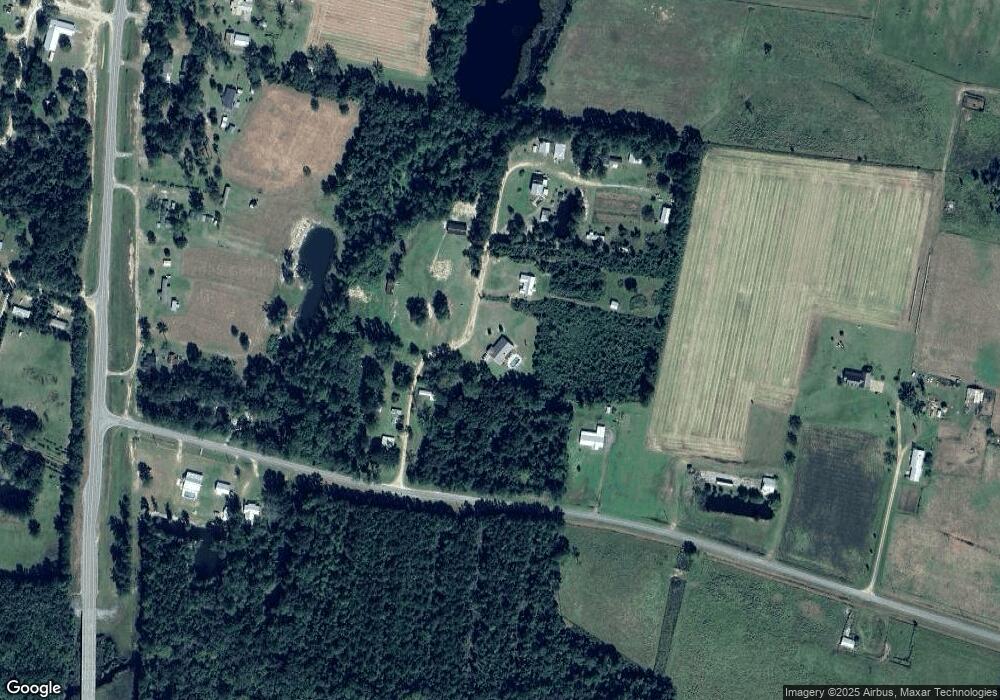
Map
Nearby Homes
- 7126 U S 301
- 29 Chisholm St
- 0-0 Foxwood Rd
- 0 Foxwood Rd
- 105 Crawford Rd
- 133 Stalkhill Rd
- 46 Christopher Cir
- 91 Cane Cir
- 108 Ervin St
- 20.55 ACRES U S Highway 82
- 584 Knox St
- 0 Caney Bay Rd
- 97 Kyody Trail
- 4432 Pembers Rd
- 4452 Pembers Rd
- 23715 Knox Rd
- 181 Ham Rd
- 3362 Seed Orchard Rd
- 87 Stephen Park Rd
- 13929 Raybon Rd E
- 152 Julia Lavelle Ln
- 145 Julia Lavelle Ln
- 169 Buffalo Creek Dr
- 169 Buffalo Creek Dr
- 206 Julia Lavelle Ln
- 57 Buffalo Creek Dr
- 90 Buffalo Creek Dr
- 52 Buffalo Creek Dr
- 6774 Highway 301 S
- 71 Thomas Dr
- 416 Mimosa Dr
- 6992 Highway 301 S
- 6960 Highway 301 S
- 6939 Highway 301 S
- 7601 Britt Still Rd
- 8030 Grace Baptist Rd
- 7548 Britt Still Rd
- 7070 Hwy 301 S
- 7070 Highway 301 S
- 8014 Grace Baptist Rd