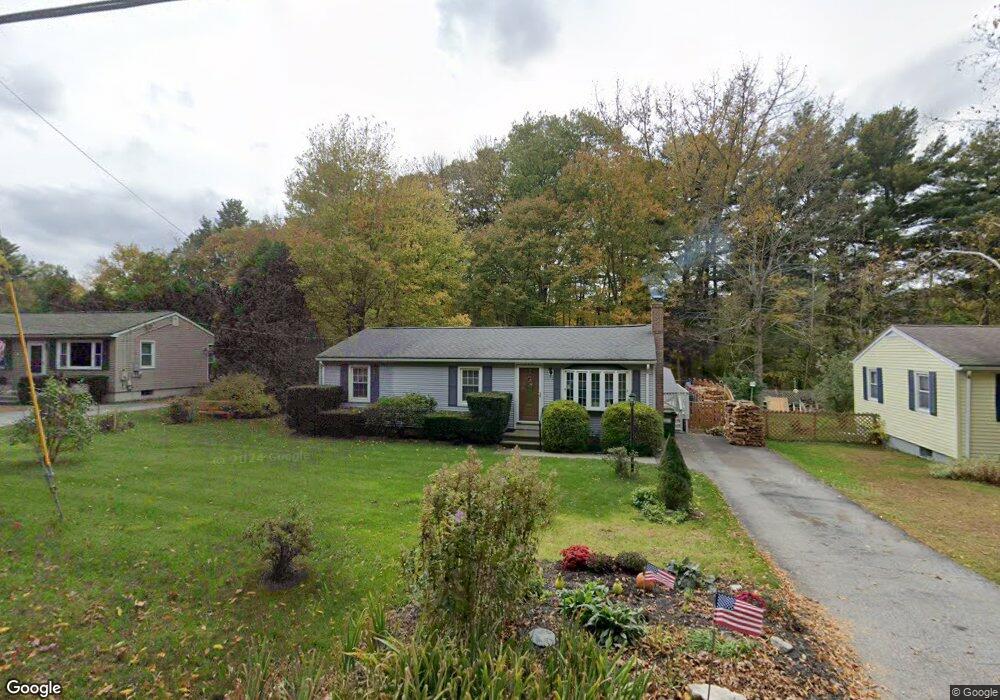
114 Lower Gore Rd Webster, MA 01570
Estimated Value: $306,000 - $376,000
3
Beds
1
Bath
960
Sq Ft
$367/Sq Ft
Est. Value
About This Home
This home is located at 114 Lower Gore Rd, Webster, MA 01570 and is currently estimated at $352,011, approximately $366 per square foot. 114 Lower Gore Rd is a home located in Worcester County with nearby schools including Park Avenue Elementary School, Webster Middle School, and Bartlett High School.
Ownership History
Date
Name
Owned For
Owner Type
Purchase Details
Closed on
Jul 1, 2015
Sold by
Mason Robert H and Mason Carol A
Bought by
Mason Lt
Current Estimated Value
Purchase Details
Closed on
Oct 30, 1997
Sold by
Mason Dean F
Bought by
Mason Robert H and Mason Carol
Home Financials for this Owner
Home Financials are based on the most recent Mortgage that was taken out on this home.
Original Mortgage
$40,000
Interest Rate
7.48%
Create a Home Valuation Report for This Property
The Home Valuation Report is an in-depth analysis detailing your home's value as well as a comparison with similar homes in the area
Home Values in the Area
Average Home Value in this Area
Purchase History
| Date | Buyer | Sale Price | Title Company |
|---|---|---|---|
| Mason Lt | -- | -- | |
| Mason Robert H | $40,000 | -- |
Source: Public Records
Mortgage History
| Date | Status | Borrower | Loan Amount |
|---|---|---|---|
| Previous Owner | Mason Robert H | $40,000 |
Source: Public Records
Tax History Compared to Growth
Tax History
| Year | Tax Paid | Tax Assessment Tax Assessment Total Assessment is a certain percentage of the fair market value that is determined by local assessors to be the total taxable value of land and additions on the property. | Land | Improvement |
|---|---|---|---|---|
| 2025 | $2,971 | $250,100 | $56,200 | $193,900 |
| 2024 | $2,929 | $240,500 | $54,000 | $186,500 |
| 2023 | $2,648 | $211,800 | $51,400 | $160,400 |
| 2022 | $2,562 | $183,500 | $50,000 | $133,500 |
| 2021 | $2,528 | $167,400 | $50,000 | $117,400 |
| 2020 | $2,461 | $163,400 | $50,000 | $113,400 |
| 2019 | $2,330 | $152,000 | $50,000 | $102,000 |
| 2018 | $2,179 | $141,600 | $50,000 | $91,600 |
| 2017 | $2,089 | $138,100 | $48,900 | $89,200 |
| 2016 | $2,006 | $132,500 | $46,600 | $85,900 |
| 2015 | $1,925 | $131,100 | $45,700 | $85,400 |
Source: Public Records
Map
Nearby Homes
- 9 Scenic Ave
- 26 Wakefield Ave
- 24 Cooper Rd
- 6 Henry Rd
- 57 Upper Gore Rd
- 171 Upper Gore Rd
- 169 Upper Gore Rd
- 13 S Point Rd
- 38 Colonial Rd
- 14 Colonial Rd
- 16 Hilltop Dr
- 1 Ernest St
- 20 Lakeview Rd
- 14 Browns Brook Rd
- 23 Lakeview Rd
- 27 Lakeview Rd
- 27 Douglas Rd
- 194 Killdeer Rd
- 149 A Gore Rd
- 125 Birch Island Rd
- 116 Lower Gore Rd
- 112 Lower Gore Rd
- 118 Lower Gore Rd
- 110 Lower Gore Rd
- 29 Scenic Ave
- 27 Scenic Ave
- 120 Lower Gore Rd
- 115 Lower Gore Rd
- 31 Scenic Ave
- 25 Scenic Ave
- 122 Lower Gore Rd
- 51 Scenic Ave Unit R
- 106 Lower Gore Rd
- 51R Scenic Ave
- 33 Scenic Ave
- 105 Lower Gore Rd
- 124 Lower Gore Rd
- 0 Scenic Ave Unit 72960474
- 0 Scenic Ave Unit 72909697
- 0 Scenic Ave Unit 72863834