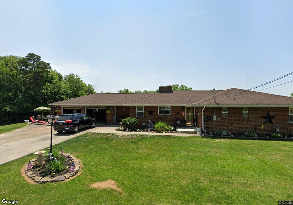
114 Maple St New Brighton, PA 15066
Daugherty Township NeighborhoodEstimated Value: $258,241 - $297,000
3
Beds
2
Baths
2,150
Sq Ft
$128/Sq Ft
Est. Value
About This Home
This home is located at 114 Maple St, New Brighton, PA 15066 and is currently estimated at $274,560, approximately $127 per square foot. 114 Maple St is a home located in Beaver County with nearby schools including New Brighton Elementary School, New Brighton Area Middle School, and New Brighton Area High School.
Ownership History
Date
Name
Owned For
Owner Type
Purchase Details
Closed on
Aug 15, 2018
Sold by
Heaton Robert and Heaton Dianna
Bought by
Schwartzel Ryan and Leahy Shawna
Current Estimated Value
Home Financials for this Owner
Home Financials are based on the most recent Mortgage that was taken out on this home.
Original Mortgage
$144,000
Outstanding Balance
$125,058
Interest Rate
4.5%
Mortgage Type
New Conventional
Estimated Equity
$149,502
Create a Home Valuation Report for This Property
The Home Valuation Report is an in-depth analysis detailing your home's value as well as a comparison with similar homes in the area
Home Values in the Area
Average Home Value in this Area
Purchase History
| Date | Buyer | Sale Price | Title Company |
|---|---|---|---|
| Schwartzel Ryan | $180,000 | None Available |
Source: Public Records
Mortgage History
| Date | Status | Borrower | Loan Amount |
|---|---|---|---|
| Open | Schwartzel Ryan | $144,000 |
Source: Public Records
Tax History Compared to Growth
Tax History
| Year | Tax Paid | Tax Assessment Tax Assessment Total Assessment is a certain percentage of the fair market value that is determined by local assessors to be the total taxable value of land and additions on the property. | Land | Improvement |
|---|---|---|---|---|
| 2025 | $1,788 | $96,150 | $21,950 | $74,200 |
| 2024 | $3,200 | $96,150 | $21,950 | $74,200 |
| 2023 | $3,300 | $31,000 | $5,700 | $25,300 |
| 2022 | $3,807 | $31,000 | $5,700 | $25,300 |
| 2021 | $3,807 | $36,270 | $6,669 | $29,601 |
| 2020 | $3,686 | $36,270 | $6,669 | $29,601 |
| 2019 | $3,686 | $36,270 | $6,669 | $29,601 |
| 2018 | $3,517 | $36,270 | $6,669 | $29,601 |
| 2017 | $3,006 | $36,270 | $6,669 | $29,601 |
| 2016 | $2,821 | $36,270 | $6,669 | $29,601 |
| 2015 | $805 | $36,270 | $6,669 | $29,601 |
| 2014 | $805 | $36,270 | $6,669 | $29,601 |
Source: Public Records
Map
Nearby Homes
- 208 Center St
- 127 Scott St
- 317 19th Ave
- 1814 5th St
- Lot 62 Londonderry Dr
- 907 Harmony Ave
- Lot 14 Shannon Cir
- Lot 46 Shannon Cir
- 190 Elm St
- 821 Grove Ave
- 604 Penn Ave
- 860 Grove Ave
- 706 Penn Avenue Place
- 211 Stuber Rd
- 729 10th Ave
- 721 10th Ave Unit 723
- 553 11th Ave Unit 555
- 906 11th St
- 728 10th Ave Unit 730
- 3216 45th St
- 169 Florence Rd
- 163 Florence Rd
- 159 Florence Rd
- 177 Florence Rd
- 113 Maple St
- 155 Florence Rd
- 168 Florence Rd
- 183 Florence Rd
- 172 Florence Rd
- 162 Florence Rd
- 176 Florence Rd
- 180 Florence Rd
- 154 Florence Rd
- 0000 Short St
- 169 Ridgevue Rd
- 173 Ridgevue Rd
- 150 Florence Rd
- 110 Ridgevue Rd
- 112 Ridgevue Rd
- 191 Florence Rd