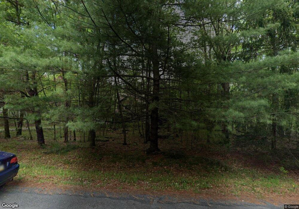
114 Marjorie Ct East Stroudsburg, PA 18302
Estimated Value: $448,065 - $509,000
4
Beds
3
Baths
2,653
Sq Ft
$180/Sq Ft
Est. Value
About This Home
This home is located at 114 Marjorie Ct, East Stroudsburg, PA 18302 and is currently estimated at $476,516, approximately $179 per square foot. 114 Marjorie Ct is a home located in Monroe County with nearby schools including Resica Elementary School and Lehman Intermediate School.
Ownership History
Date
Name
Owned For
Owner Type
Purchase Details
Closed on
Jun 25, 2020
Sold by
Rosenberger Harold K and Rosenberger Kathleen M
Bought by
Merola Andrew and Robostsis Merola Michelle
Current Estimated Value
Home Financials for this Owner
Home Financials are based on the most recent Mortgage that was taken out on this home.
Original Mortgage
$241,172
Outstanding Balance
$213,855
Interest Rate
3.1%
Mortgage Type
FHA
Estimated Equity
$262,661
Purchase Details
Closed on
Sep 10, 2002
Bought by
Rosenberger Harold K and Rosenberger Kathleen M
Create a Home Valuation Report for This Property
The Home Valuation Report is an in-depth analysis detailing your home's value as well as a comparison with similar homes in the area
Home Values in the Area
Average Home Value in this Area
Purchase History
| Date | Buyer | Sale Price | Title Company |
|---|---|---|---|
| Merola Andrew | $249,500 | First Choice Abstract Inc | |
| Rosenberger Harold K | -- | -- |
Source: Public Records
Mortgage History
| Date | Status | Borrower | Loan Amount |
|---|---|---|---|
| Open | Merola Andrew | $241,172 |
Source: Public Records
Tax History Compared to Growth
Tax History
| Year | Tax Paid | Tax Assessment Tax Assessment Total Assessment is a certain percentage of the fair market value that is determined by local assessors to be the total taxable value of land and additions on the property. | Land | Improvement |
|---|---|---|---|---|
| 2025 | $1,440 | $176,800 | $23,060 | $153,740 |
| 2024 | $1,205 | $176,800 | $23,060 | $153,740 |
| 2023 | $6,354 | $176,800 | $23,060 | $153,740 |
| 2022 | $6,438 | $176,800 | $23,060 | $153,740 |
| 2021 | $6,341 | $176,800 | $23,060 | $153,740 |
| 2020 | $6,438 | $176,800 | $23,060 | $153,740 |
| 2019 | $7,778 | $37,090 | $5,250 | $31,840 |
| 2018 | $7,778 | $37,090 | $5,250 | $31,840 |
| 2017 | $7,778 | $37,090 | $5,250 | $31,840 |
| 2016 | $7,351 | $37,090 | $5,250 | $31,840 |
| 2015 | -- | $37,090 | $5,250 | $31,840 |
| 2014 | -- | $37,090 | $5,250 | $31,840 |
Source: Public Records
Map
Nearby Homes
- 169 Saunders Dr
- 158 Saunders Dr
- 0 Dogwood Unit 766398
- 2211 Apley Ct
- 2260 Apley Ct
- 121 Sterling Cir
- 0 Coolbaugh Rd Unit PM-132357
- 119 Sterling Cir
- .96 Acres Sterling Cir
- 2112 Yorkshire Ct
- 3118 Cherry Ridge Rd
- 123 Berkshire Ct
- 140 Green Mountain Dr
- 2096 Scarborough Way
- 5859 Decker Rd
- 2104 Scarborough Way
- 5864 Decker Rd
- 5936 Decker Rd
- 142 Clifton Dr
- 2108 Scarborough Way
- 1665 Marjorie Ct
- 115 Marjorie Ct
- 113 Marjorie Ct
- 116 Marjorie Ct
- 1655 Marjorie Ct
- 104 Marjorie Ct
- 1664 Marjorie Ct
- 105 Marjorie Ct
- 103 Marjorie Ct
- 1656 Marjorie Ct
- 1680 Marjorie Ct
- 1650 Marjorie Ct
- 117 Marjorie Ct
- 102 Marjorie Ct
- 106 Marjorie Ct
- 1684 Marjorie Ct
- 124 Timber Mountain Dr
- 1361 Resica Falls Rd
- 118 Marjorie Ct
- 1368 Resica Falls Rd
