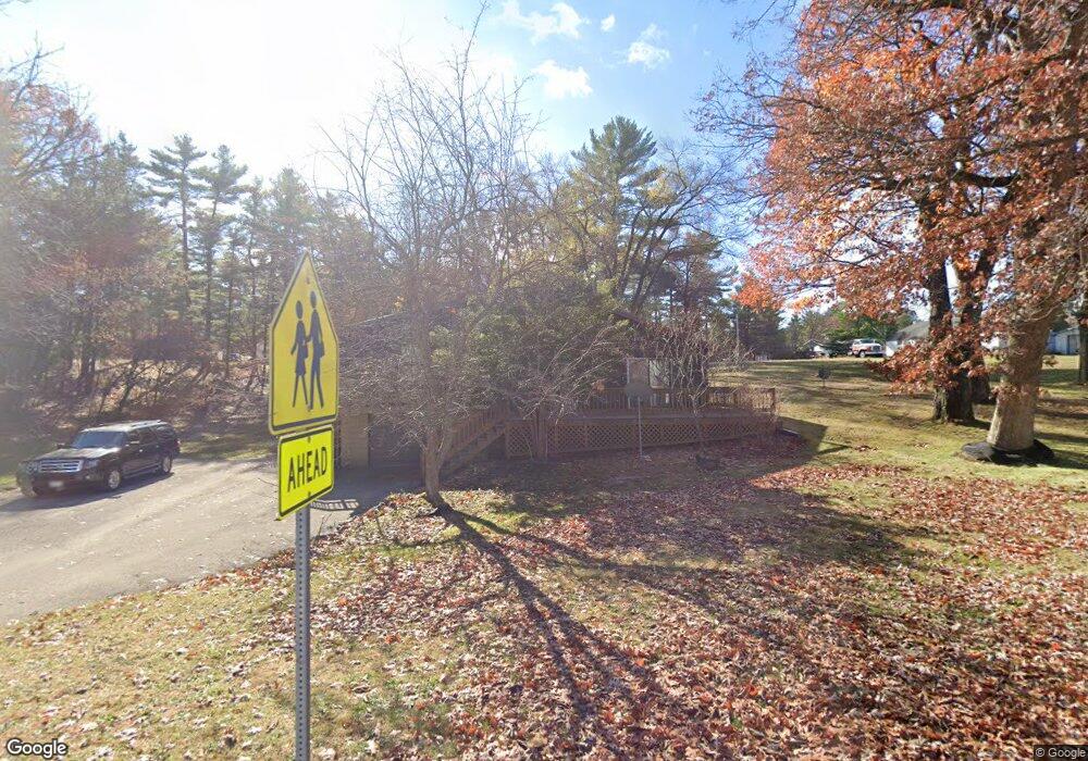
114 Mathew St Wisconsin Dells, WI 53965
Estimated Value: $319,413 - $392,000
--
Bed
--
Bath
--
Sq Ft
0.41
Acres
About This Home
This home is located at 114 Mathew St, Wisconsin Dells, WI 53965 and is currently estimated at $351,353. 114 Mathew St is a home with nearby schools including Wisconsin Dells High School and Trinity Lutheran School.
Ownership History
Date
Name
Owned For
Owner Type
Purchase Details
Closed on
Mar 1, 2007
Sold by
Pentell Allen M and Pentell Nanya
Bought by
Field George C
Current Estimated Value
Home Financials for this Owner
Home Financials are based on the most recent Mortgage that was taken out on this home.
Original Mortgage
$142,500
Outstanding Balance
$86,300
Interest Rate
6.27%
Mortgage Type
New Conventional
Estimated Equity
$265,053
Create a Home Valuation Report for This Property
The Home Valuation Report is an in-depth analysis detailing your home's value as well as a comparison with similar homes in the area
Home Values in the Area
Average Home Value in this Area
Purchase History
| Date | Buyer | Sale Price | Title Company |
|---|---|---|---|
| Field George C | $150,000 | None Available |
Source: Public Records
Mortgage History
| Date | Status | Borrower | Loan Amount |
|---|---|---|---|
| Open | Field George C | $142,500 |
Source: Public Records
Tax History Compared to Growth
Tax History
| Year | Tax Paid | Tax Assessment Tax Assessment Total Assessment is a certain percentage of the fair market value that is determined by local assessors to be the total taxable value of land and additions on the property. | Land | Improvement |
|---|---|---|---|---|
| 2024 | $2,798 | $259,000 | $34,000 | $225,000 |
| 2023 | $2,355 | $161,500 | $23,200 | $138,300 |
| 2022 | $2,345 | $161,500 | $23,200 | $138,300 |
| 2021 | $2,276 | $161,500 | $23,200 | $138,300 |
| 2020 | $2,312 | $161,500 | $23,200 | $138,300 |
| 2019 | $2,410 | $161,500 | $23,200 | $138,300 |
| 2018 | $2,484 | $161,500 | $23,200 | $138,300 |
| 2017 | $2,282 | $161,500 | $23,200 | $138,300 |
| 2016 | $2,285 | $147,300 | $27,200 | $120,100 |
| 2015 | $2,332 | $145,300 | $27,200 | $118,100 |
| 2014 | $2,244 | $145,300 | $27,200 | $118,100 |
Source: Public Records
Map
Nearby Homes
- 241 Mariealain Dr
- 311 Alcan Dr
- 135 N Birney St
- 130 N Judson St
- 110 N Judson St
- E10368 Xanadu Rd
- E10305 Xanadu Rd Unit 534
- 245 Canyon Rd
- 26 acres Xanadu Rd
- 770 Xanadu Rd
- 507 Clara Ave
- 350 E Hiawatha Dr Unit 420
- 731 Sunset Blvd Unit 52
- 731 Sunset Blvd Unit 29
- 414 E Hiawatha Dr Unit 103
- 200 Cliffside Dr
- 530 E Hiawatha Dr Unit 205
- 530 E Hiawatha Dr Unit 315
- 530 E Hiawatha Dr Unit 318
- 140 Ridge Dr
- W240 Mathew St
- L 0 Mathew St
- 60 Mathew St
- 60 Mathew St
- 220 S Burritt Ave
- 210 S Burritt Ave
- 310 Mariealain Dr
- 243 S Burritt Ave
- 310 Mariealain Dr
- 240 S Burritt Ave
- 240 S Burritt Ave
- 306 S Burritt Ave
- L1 Mariealain Dr
- L13 Mariealain Dr
- 300 S Burritt Ave
- 290 Mariealain Dr
- 42 Mathew St
- 309 Mariealain Dr
- 413 S Burritt Ave
- 743 Xanadu Rd
