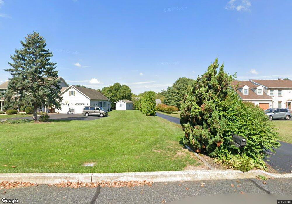
114 Memory Ln Telford, PA 18969
Estimated Value: $779,049 - $916,000
4
Beds
3
Baths
4,302
Sq Ft
$196/Sq Ft
Est. Value
About This Home
This home is located at 114 Memory Ln, Telford, PA 18969 and is currently estimated at $843,012, approximately $195 per square foot. 114 Memory Ln is a home located in Montgomery County with nearby schools including Franconia Elementary School, Indian Crest Middle School, and Souderton Area Senior High School.
Ownership History
Date
Name
Owned For
Owner Type
Purchase Details
Closed on
Apr 12, 2010
Sold by
Vanloon James William
Bought by
Hreninko Denise M and Herninko Sean K
Current Estimated Value
Home Financials for this Owner
Home Financials are based on the most recent Mortgage that was taken out on this home.
Original Mortgage
$350,000
Outstanding Balance
$233,112
Interest Rate
5%
Estimated Equity
$609,900
Purchase Details
Closed on
Jul 10, 1996
Sold by
Bergey Glenn
Bought by
Vanloon James William
Purchase Details
Closed on
Dec 19, 1994
Sold by
Stutzman Gladys D and Dale Stutzman E
Bought by
Bergey Glenn
Purchase Details
Closed on
Apr 7, 1994
Sold by
Overholt David I
Bought by
Country Meadows Trust
Purchase Details
Closed on
Dec 29, 1993
Sold by
Derstine Mary Ellen M and Stutzman Gladys
Bought by
Stutzman Gladys
Create a Home Valuation Report for This Property
The Home Valuation Report is an in-depth analysis detailing your home's value as well as a comparison with similar homes in the area
Home Values in the Area
Average Home Value in this Area
Purchase History
| Date | Buyer | Sale Price | Title Company |
|---|---|---|---|
| Hreninko Denise M | $490,000 | None Available | |
| Vanloon James William | $55,000 | -- | |
| Bergey Glenn | $65,000 | -- | |
| Country Meadows Trust | -- | -- | |
| Overholt David I | -- | -- | |
| Stutzman Gladys | -- | -- |
Source: Public Records
Mortgage History
| Date | Status | Borrower | Loan Amount |
|---|---|---|---|
| Open | Hreninko Denise M | $350,000 |
Source: Public Records
Tax History Compared to Growth
Tax History
| Year | Tax Paid | Tax Assessment Tax Assessment Total Assessment is a certain percentage of the fair market value that is determined by local assessors to be the total taxable value of land and additions on the property. | Land | Improvement |
|---|---|---|---|---|
| 2025 | $9,602 | $239,070 | $50,000 | $189,070 |
| 2024 | $9,602 | $239,070 | $50,000 | $189,070 |
| 2023 | $9,161 | $239,070 | $50,000 | $189,070 |
| 2022 | $8,882 | $239,070 | $50,000 | $189,070 |
| 2021 | $8,695 | $239,070 | $50,000 | $189,070 |
| 2020 | $8,577 | $239,070 | $50,000 | $189,070 |
| 2019 | $7,829 | $239,070 | $50,000 | $189,070 |
| 2018 | $8,474 | $239,070 | $50,000 | $189,070 |
| 2017 | $8,261 | $239,070 | $50,000 | $189,070 |
| 2016 | $8,168 | $239,070 | $50,000 | $189,070 |
| 2015 | $7,946 | $239,070 | $50,000 | $189,070 |
| 2014 | $7,946 | $239,070 | $50,000 | $189,070 |
Source: Public Records
Map
Nearby Homes
- 654 Allentown Rd
- 624 Keller Creamery Rd
- 0000 Halteman Rd
- 478 Smokepipe Rd
- 3443 Devlin Way
- 317 Pleasant Valley Dr
- 157 Erie Ave
- 155 Harleysville Pike
- 211 Grove Ct
- 265 Sumner Ct
- 218 Parkview Dr
- 100 Anjou Ct
- 264 Wilton Ct
- 141 Farrington Ln
- 260 Diamond St
- 801 Evergreen Cir
- 799 Evergreen Cir
- 109 Forrest Rd
- 110 Trevor Square
- 820 Evergreen Cir