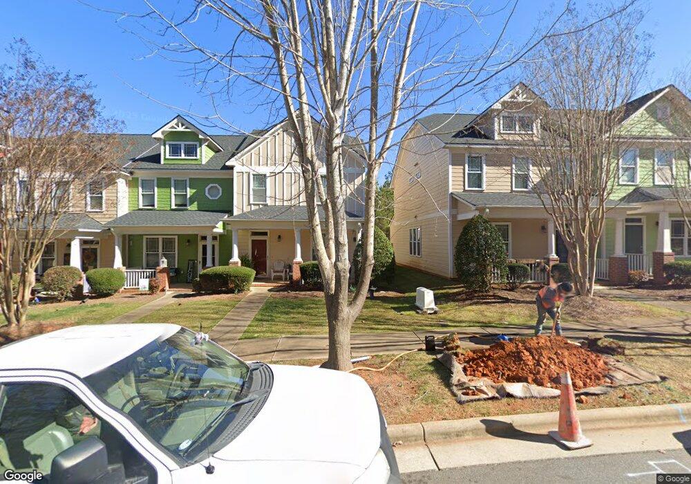
114 Millbrook Dr Pittsboro, NC 27312
Estimated Value: $324,680 - $418,000
3
Beds
3
Baths
1,635
Sq Ft
$221/Sq Ft
Est. Value
About This Home
This home is located at 114 Millbrook Dr, Pittsboro, NC 27312 and is currently estimated at $360,670, approximately $220 per square foot. 114 Millbrook Dr is a home located in Chatham County with nearby schools including Pittsboro Elementary School, George Moses Horton Middle School, and Northwood High.
Ownership History
Date
Name
Owned For
Owner Type
Purchase Details
Closed on
May 9, 2014
Sold by
Carpenter Kimberly A and Roberson Kimberly C
Bought by
Blanford Anthony P
Current Estimated Value
Home Financials for this Owner
Home Financials are based on the most recent Mortgage that was taken out on this home.
Original Mortgage
$127,200
Outstanding Balance
$97,059
Interest Rate
4.44%
Mortgage Type
New Conventional
Estimated Equity
$263,611
Purchase Details
Closed on
Jan 27, 2010
Sold by
Evergreen Construction Co
Bought by
Roberson Kimberly C
Home Financials for this Owner
Home Financials are based on the most recent Mortgage that was taken out on this home.
Original Mortgage
$166,920
Interest Rate
3.75%
Mortgage Type
FHA
Create a Home Valuation Report for This Property
The Home Valuation Report is an in-depth analysis detailing your home's value as well as a comparison with similar homes in the area
Home Values in the Area
Average Home Value in this Area
Purchase History
| Date | Buyer | Sale Price | Title Company |
|---|---|---|---|
| Blanford Anthony P | $159,000 | None Available | |
| Roberson Kimberly C | $172,500 | None Available |
Source: Public Records
Mortgage History
| Date | Status | Borrower | Loan Amount |
|---|---|---|---|
| Open | Blanford Anthony P | $127,200 | |
| Previous Owner | Roberson Kimberly C | $166,920 |
Source: Public Records
Tax History Compared to Growth
Tax History
| Year | Tax Paid | Tax Assessment Tax Assessment Total Assessment is a certain percentage of the fair market value that is determined by local assessors to be the total taxable value of land and additions on the property. | Land | Improvement |
|---|---|---|---|---|
| 2025 | $3,502 | $313,162 | $38,000 | $275,162 |
| 2024 | $3,502 | $206,987 | $38,000 | $168,987 |
| 2023 | $2,646 | $206,987 | $38,000 | $168,987 |
| 2022 | $2,497 | $206,987 | $38,000 | $168,987 |
| 2021 | $2,473 | $206,987 | $38,000 | $168,987 |
| 2020 | $2,032 | $166,504 | $25,000 | $141,504 |
| 2019 | $2,022 | $166,504 | $25,000 | $141,504 |
| 2018 | $1,932 | $166,504 | $25,000 | $141,504 |
| 2017 | $1,932 | $166,504 | $25,000 | $141,504 |
| 2016 | $1,926 | $165,060 | $25,000 | $140,060 |
| 2015 | $1,907 | $165,060 | $25,000 | $140,060 |
| 2014 | $1,907 | $165,060 | $25,000 | $140,060 |
| 2013 | -- | $165,060 | $25,000 | $140,060 |
Source: Public Records
Map
Nearby Homes
- 26 Danbury Ct
- 1157 Hillsboro St
- 73 Freeman Dr
- 7839 U S Highway 64
- 7837 U S Highway 64
- 7841 U S Highway 64
- 54 Pattishall Rd
- 57 Merriville Rd
- 114 Tantara Bend
- 80 Tantara Bend
- 328 Aspen Ave
- 76 Tantara Bend
- 250 Aspen Ave
- 64 Tantara Bend
- 338 Aspen Ave
- 108 Tantara Bend
- 116 Kensington Dr
- 91 Imagine Way
- 431 Fieldstone Ln
- 405 Fieldstone Ln
- 110 Millbrook Dr
- 118 Millbrook Dr
- 106 Millbrook Dr
- 120 Millbrook Dr
- 102 Millbrook Dr
- 124 Millbrook Dr
- 96 Millbrook Dr
- 128 Millbrook Dr
- 92 Millbrook Dr
- 130 Millbrook Dr
- 132 Millbrook Dr
- 80 Millbrook Dr
- 136 Millbrook Dr
- 76 Millbrook Dr
- 140 Millbrook Dr
- 72 Millbrook Dr
- 144 Millbrook Dr
- 68 Millbrook Dr
- 148 Millbrook Dr
- 62 Millbrook Dr