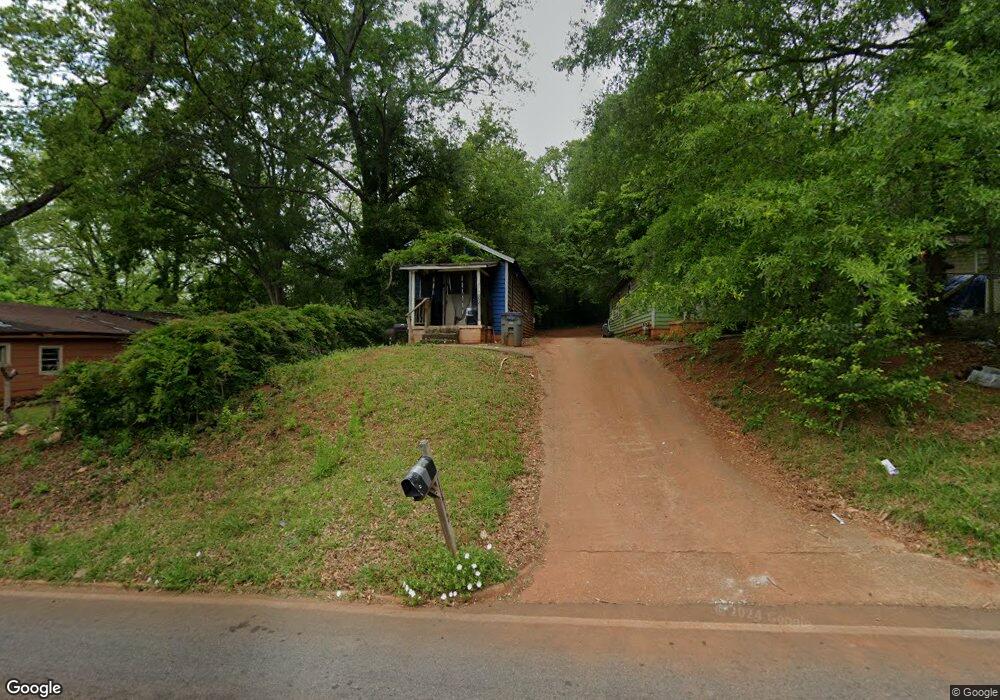
114 Mitchell Ave Lagrange, GA 30240
Estimated Value: $119,000 - $177,000
2
Beds
1
Bath
576
Sq Ft
$257/Sq Ft
Est. Value
About This Home
This home is located at 114 Mitchell Ave, Lagrange, GA 30240 and is currently estimated at $148,000, approximately $256 per square foot. 114 Mitchell Ave is a home located in Troup County with nearby schools including Franklin Forest Elementary School, Hollis Hand Elementary School, and Ethel W. Kight Elementary School.
Ownership History
Date
Name
Owned For
Owner Type
Purchase Details
Closed on
Nov 30, 2021
Sold by
T Squared 1 Llc
Bought by
Brbrshy Investments Inc
Current Estimated Value
Purchase Details
Closed on
Jun 1, 2021
Sold by
Stribling Ty
Bought by
T Squared 2 Llc
Purchase Details
Closed on
Oct 13, 2003
Sold by
Martin J Miller
Bought by
Stribling Ty
Purchase Details
Closed on
Aug 31, 1995
Sold by
Ralph Julian Strickland By Ex
Bought by
Martin J Miller
Purchase Details
Closed on
Aug 1, 1963
Sold by
Milam Jj Etal
Bought by
Ralph Julian Strickland By Ex
Create a Home Valuation Report for This Property
The Home Valuation Report is an in-depth analysis detailing your home's value as well as a comparison with similar homes in the area
Purchase History
| Date | Buyer | Sale Price | Title Company |
|---|---|---|---|
| Brbrshy Investments Inc | $12,484,500 | -- | |
| T Squared 2 Llc | -- | -- | |
| Stribling Ty | $1,181,000 | -- | |
| Martin J Miller | -- | -- | |
| Ralph Julian Strickland By Ex | -- | -- |
Source: Public Records
Tax History
| Year | Tax Paid | Tax Assessment Tax Assessment Total Assessment is a certain percentage of the fair market value that is determined by local assessors to be the total taxable value of land and additions on the property. | Land | Improvement |
|---|---|---|---|---|
| 2025 | $717 | $26,280 | $1,880 | $24,400 |
| 2024 | $632 | $23,160 | $1,880 | $21,280 |
| 2023 | $405 | $14,840 | $1,880 | $12,960 |
| 2022 | $392 | $14,040 | $1,880 | $12,160 |
| 2021 | $173 | $5,720 | $1,880 | $3,840 |
| 2020 | $173 | $5,720 | $1,880 | $3,840 |
| 2019 | $158 | $5,240 | $1,480 | $3,760 |
| 2018 | $158 | $5,240 | $1,480 | $3,760 |
| 2017 | $154 | $5,110 | $1,350 | $3,760 |
| 2016 | $147 | $4,878 | $1,350 | $3,528 |
| 2015 | $150 | $4,950 | $1,422 | $3,528 |
| 2014 | $150 | $4,950 | $1,422 | $3,528 |
| 2013 | -- | $6,465 | $1,895 | $4,570 |
Source: Public Records
Map
Nearby Homes
- 219 Banks St
- 109 Thomas St
- 0 Ridley Ave Unit 10550104
- 609 Ridley Ave
- 707 Ridley Ave
- 611 Ridley Ave
- 615 Ridley Ave
- 709 Ridley Ave
- 222 Beechwood Cir
- 301 E Bacon St
- 900 North St
- 202 Park Hill Dr
- 102 Dogwood Dr
- 110 Russell St
- 600,606,608,616 S Harlem
- 204 Colonial St
- 120 Saynor Cir
- 105 Saynor Cir
- 806 New Franklin Rd
- 706 N Harlem Cir
Your Personal Tour Guide
Ask me questions while you tour the home.