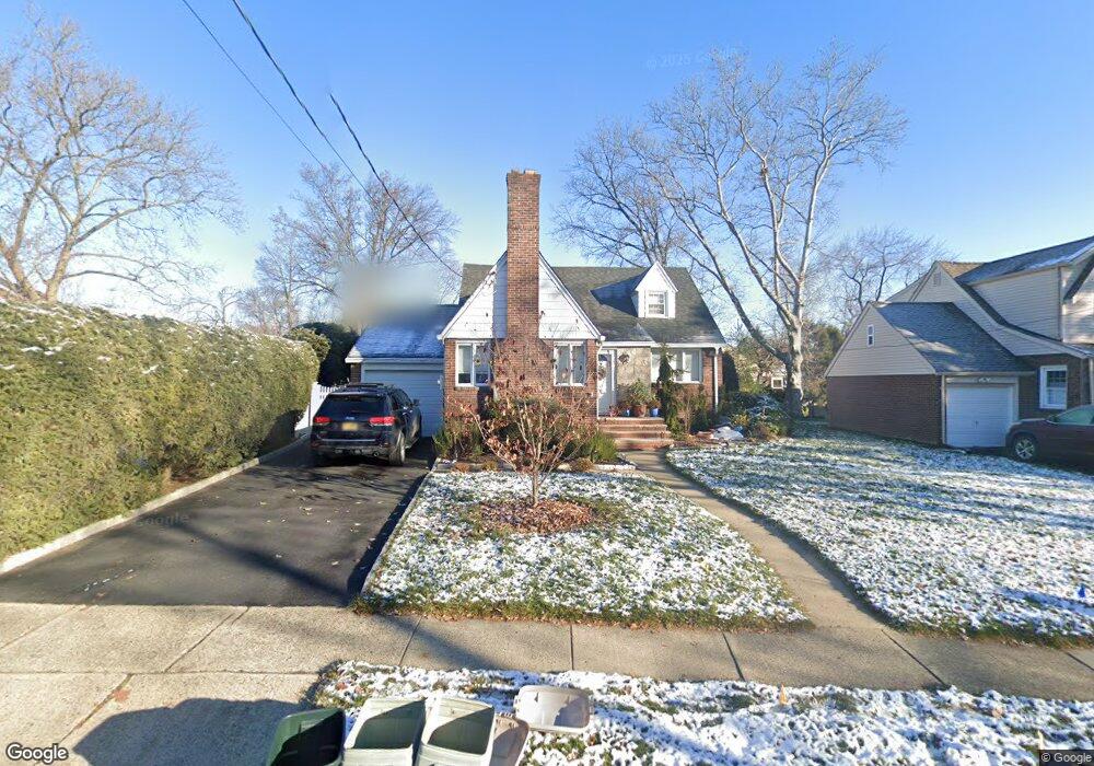
114 Monroe Ave River Edge, NJ 07661
Estimated Value: $754,000 - $803,000
4
Beds
2
Baths
1,479
Sq Ft
$523/Sq Ft
Est. Value
About This Home
This home is located at 114 Monroe Ave, River Edge, NJ 07661 and is currently estimated at $773,780, approximately $523 per square foot. 114 Monroe Ave is a home located in Bergen County with nearby schools including Roosevelt Elementary School, River Dell Middle School, and River Dell Regional High School.
Ownership History
Date
Name
Owned For
Owner Type
Purchase Details
Closed on
Jun 6, 2017
Sold by
Egle Liane and Joan L Sullivan Irrevocable Tr
Bought by
Aguilar Edgar G
Current Estimated Value
Home Financials for this Owner
Home Financials are based on the most recent Mortgage that was taken out on this home.
Original Mortgage
$350,000
Outstanding Balance
$238,680
Interest Rate
4.05%
Mortgage Type
New Conventional
Estimated Equity
$535,100
Purchase Details
Closed on
Apr 4, 2017
Sold by
Sullivan Joan L
Bought by
Joan L Sullivan Irrevocable Trust
Purchase Details
Closed on
Feb 22, 2013
Sold by
Sullivan John F and Sullivan Joan L
Bought by
Sullivan Joan L
Create a Home Valuation Report for This Property
The Home Valuation Report is an in-depth analysis detailing your home's value as well as a comparison with similar homes in the area
Home Values in the Area
Average Home Value in this Area
Purchase History
| Date | Buyer | Sale Price | Title Company |
|---|---|---|---|
| Aguilar Edgar G | $437,500 | None Available | |
| Joan L Sullivan Irrevocable Trust | -- | None Available | |
| Sullivan Joan L | -- | -- |
Source: Public Records
Mortgage History
| Date | Status | Borrower | Loan Amount |
|---|---|---|---|
| Open | Aguilar Edgar G | $350,000 |
Source: Public Records
Tax History Compared to Growth
Tax History
| Year | Tax Paid | Tax Assessment Tax Assessment Total Assessment is a certain percentage of the fair market value that is determined by local assessors to be the total taxable value of land and additions on the property. | Land | Improvement |
|---|---|---|---|---|
| 2025 | $12,700 | $545,000 | $318,000 | $227,000 |
| 2024 | $12,383 | $320,300 | $188,000 | $132,300 |
| 2023 | $11,851 | $320,300 | $188,000 | $132,300 |
| 2022 | $11,851 | $320,300 | $188,000 | $132,300 |
| 2021 | $10,763 | $320,300 | $188,000 | $132,300 |
| 2020 | $11,435 | $320,300 | $188,000 | $132,300 |
| 2019 | $11,108 | $320,300 | $188,000 | $132,300 |
| 2018 | $10,874 | $320,300 | $188,000 | $132,300 |
| 2017 | $10,768 | $320,300 | $188,000 | $132,300 |
| 2016 | $10,525 | $320,300 | $188,000 | $132,300 |
| 2015 | $10,304 | $320,300 | $188,000 | $132,300 |
| 2014 | $10,323 | $320,300 | $188,000 | $132,300 |
Source: Public Records
Map
Nearby Homes
- 168 Voorhis Ave
- 378 Windsor Rd
- 276 Greenway Terrace
- 215 Kensington Rd
- 33 Lincoln Ave
- 140 River Edge Ave
- 668 River Rd
- 712 6th Ave
- 421 Lafayette Ave
- 784 Millbrook Rd
- 855 Kinderkamack Rd
- 761 6th Ave
- 204 Woodland Rd
- 766 7th Ave
- 195 River Ln
- 12 Gainesborough Terrace Unit 1B
- 302 Howland Ave
- 293 Bogert Rd Unit 1A
- 42 Howland Ave
- 44 Canterbury Ln
- 110 Monroe Ave
- 626 Bogert Rd
- 115 Madison Ave
- 630 Bogert Rd
- 109 Madison Ave
- 616 Bogert Rd
- 636 Bogert Rd
- 117 Monroe Ave
- 625 Kinderkamack Rd
- 612 Bogert Rd
- 114 Madison Ave
- 589 Clarendon Ct
- 110 Madison Ave
- 608 Bogert Rd
- 133 Monroe Ave
- 118 Madison Ave
- 627 Bogert Rd
- 644 Bogert Rd
- 633 Bogert Rd
- 637 Kinderkamack Rd