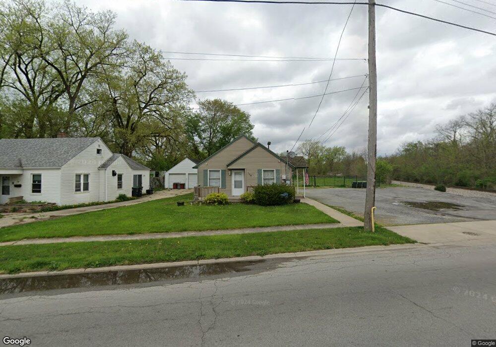
114 N Lake Park Ave Unit 1&2 Hobart, IN 46342
Estimated Value: $224,039 - $297,000
1
Bed
2
Baths
6,970
Sq Ft
$38/Sq Ft
Est. Value
About This Home
This home is located at 114 N Lake Park Ave Unit 1&2, Hobart, IN 46342 and is currently estimated at $262,510, approximately $37 per square foot. 114 N Lake Park Ave Unit 1&2 is a home located in Lake County with nearby schools including Hobart High School, Hobart Baptist School, and Trinity Lutheran School.
Ownership History
Date
Name
Owned For
Owner Type
Purchase Details
Closed on
Mar 11, 2021
Sold by
Frank A Pastor Revocable Living Trust and Catherine D Pastor Revocable Living Trus
Bought by
Hernandez David
Current Estimated Value
Purchase Details
Closed on
Mar 4, 2021
Sold by
Frank A Pastor Revocable Living Trust and Catherine D Pastor Revocable Living Trus
Bought by
Hernandez David
Purchase Details
Closed on
Jul 10, 2006
Sold by
Pastor Frank A and Pastor Catherine D
Bought by
Pastor Frank A and Pastor Catherine D
Create a Home Valuation Report for This Property
The Home Valuation Report is an in-depth analysis detailing your home's value as well as a comparison with similar homes in the area
Home Values in the Area
Average Home Value in this Area
Purchase History
| Date | Buyer | Sale Price | Title Company |
|---|---|---|---|
| Hernandez David | $140,000 | Fidelity National Title | |
| Watts Diana | $140,000 | -- | |
| Watts Diana | $140,000 | -- | |
| Hernandez David | -- | Fidelity National Title | |
| Pastor Frank A | -- | None Available |
Source: Public Records
Tax History Compared to Growth
Tax History
| Year | Tax Paid | Tax Assessment Tax Assessment Total Assessment is a certain percentage of the fair market value that is determined by local assessors to be the total taxable value of land and additions on the property. | Land | Improvement |
|---|---|---|---|---|
| 2024 | $7,164 | $192,800 | $116,300 | $76,500 |
| 2023 | $5,383 | $175,500 | $116,300 | $59,200 |
| 2022 | $5,424 | $177,900 | $116,300 | $61,600 |
| 2021 | $5,327 | $172,900 | $116,300 | $56,600 |
| 2020 | $5,167 | $171,900 | $116,300 | $55,600 |
| 2019 | $5,392 | $171,900 | $116,300 | $55,600 |
| 2018 | $5,541 | $171,900 | $116,300 | $55,600 |
| 2017 | $5,616 | $172,600 | $116,300 | $56,300 |
| 2016 | $5,331 | $171,500 | $116,300 | $55,200 |
| 2014 | $5,175 | $169,000 | $116,300 | $52,700 |
| 2013 | $5,114 | $166,500 | $116,300 | $50,200 |
Source: Public Records
Map
Nearby Homes
- 2 W Old Ridge Rd
- 220 N Lake Park Ave
- 312 W Old Ridge Rd
- 214 N Ash St
- 130 W 2nd St
- 223 S Ash St
- 54 N Michigan Ave
- 229 S Connecticut St
- 36 N Linda St
- 220 S Linda St
- 126 S Wisconsin St
- 182 Quail Dr
- 170 Cressmoor Blvd
- 176 Cressmoor Blvd
- 158 Cressmoor Blvd
- 152 Cressmoor Blvd
- 127 Cressmoor Blvd
- 138 Cressmoor Blvd
- 132 Cressmoor Blvd
- 121 Cressmoor Blvd
- 110 N Lake Park Ave
- 106 N Lake Park Ave
- 10 W Old Ridge Rd
- 14 W Ridge Rd
- 6 W Old Ridge Rd
- 26 W Old Ridge Rd
- 1 W Old Ridge Rd
- 200 N Lake Park Ave
- 34 W Old Ridge Rd
- 38 W Old Ridge Rd
- 21 W Old Ridge Rd
- 11 W Old Ridge Rd
- 23 W Old Ridge Rd
- 18 E Old Ridge Rd
- 210 W Old Ridge Rd
- 35 Beverly Blvd
- 226 W Ridge Rd
- 201 W Old Ridge Rd
- 7 E Old Ridge Rd
- 33 Beverly Blvd