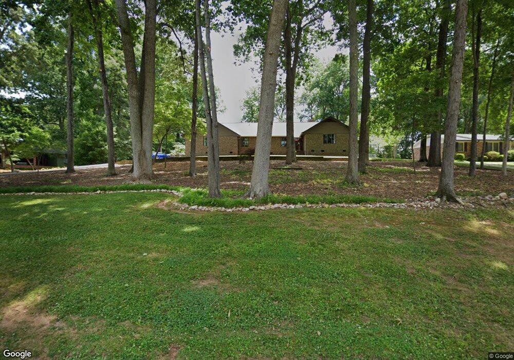
114 Old Mine Rd Mount Holly, NC 28120
Estimated Value: $398,000 - $634,000
3
Beds
2
Baths
2,638
Sq Ft
$185/Sq Ft
Est. Value
About This Home
This home is located at 114 Old Mine Rd, Mount Holly, NC 28120 and is currently estimated at $488,648, approximately $185 per square foot. 114 Old Mine Rd is a home located in Gaston County with nearby schools including Rankin Elementary School, Mount Holly Middle School, and Stuart W. Cramer High School.
Ownership History
Date
Name
Owned For
Owner Type
Purchase Details
Closed on
Jan 2, 2002
Sold by
Norwood Gary W and Norwood Patricia R
Bought by
Brobeck James Ross and Brobeck Anne Boggs
Current Estimated Value
Home Financials for this Owner
Home Financials are based on the most recent Mortgage that was taken out on this home.
Original Mortgage
$180,000
Outstanding Balance
$71,880
Interest Rate
6.72%
Estimated Equity
$416,768
Create a Home Valuation Report for This Property
The Home Valuation Report is an in-depth analysis detailing your home's value as well as a comparison with similar homes in the area
Home Values in the Area
Average Home Value in this Area
Purchase History
| Date | Buyer | Sale Price | Title Company |
|---|---|---|---|
| Brobeck James Ross | $225,000 | -- |
Source: Public Records
Mortgage History
| Date | Status | Borrower | Loan Amount |
|---|---|---|---|
| Open | Brobeck James Ross | $180,000 |
Source: Public Records
Tax History Compared to Growth
Tax History
| Year | Tax Paid | Tax Assessment Tax Assessment Total Assessment is a certain percentage of the fair market value that is determined by local assessors to be the total taxable value of land and additions on the property. | Land | Improvement |
|---|---|---|---|---|
| 2025 | $4,098 | $408,160 | $34,380 | $373,780 |
| 2024 | $4,098 | $408,160 | $34,380 | $373,780 |
| 2023 | $4,143 | $453,260 | $34,380 | $418,880 |
| 2022 | $3,467 | $267,710 | $34,380 | $233,330 |
| 2021 | $3,520 | $267,710 | $34,380 | $233,330 |
| 2019 | $3,547 | $267,710 | $34,380 | $233,330 |
| 2018 | $3,049 | $217,810 | $22,451 | $195,359 |
| 2017 | $3,049 | $217,810 | $22,451 | $195,359 |
| 2016 | $1,895 | $217,810 | $0 | $0 |
| 2014 | $2,170 | $249,450 | $27,637 | $221,813 |
Source: Public Records
Map
Nearby Homes
- 101 Madison Dr
- 504 N Hawthorne St
- 201 1st St
- 105 S Tanninger Rd
- 113 S Mulberry Ct
- 3631 Azalea Ridge Dr
- 1015 Hoover Ave
- 157 Brookstone Dr
- 1045 Hoover Ave
- 112 Julia St
- 160 Brookstone Dr
- 413 W Glendale Ave
- 227 W Glendale Ave
- 904 Timberlane Dr
- 703 Rankin Ave
- 101 Loya St
- 221 Deerfield Dr
- 1024 Old Mountain View Rd
- 422 Wilson St
- Winslow Plan at Mooreland Oaks
- 112 Old Mine Rd
- 118 Old Mine Rd
- 110 Old Mine Rd
- 120 Old Mine Rd
- 307 Madison Dr
- 305 Madison Dr
- 309 Madison Dr
- 115 Old Mine Rd
- 111 Old Mine Rd
- 109 Old Mine Rd
- 113 Old Mine Rd
- 117 Old Mine Rd
- 303 Madison Dr
- 200 Old Mine Rd
- 311 Madison Dr
- 119 Old Mine Rd
- 106 Old Mine Rd
- 105 Old Mine Rd
- 301 Madison Dr
- 315 Madison Dr