114 Park Unit OB531 Oak Bluffs, MA 02557
Oak Bluffs NeighborhoodEstimated Value: $2,468,000 - $3,590,000
4
Beds
4
Baths
2,837
Sq Ft
$1,048/Sq Ft
Est. Value
About This Home
This home is located at 114 Park Unit OB531, Oak Bluffs, MA 02557 and is currently estimated at $2,972,306, approximately $1,047 per square foot. 114 Park Unit OB531 is a home located in Dukes County with nearby schools including Oak Bluffs Elementary School, Martha's Vineyard Regional High School, and Vineyard Montessori School.
Ownership History
Date
Name
Owned For
Owner Type
Purchase Details
Closed on
Nov 10, 2015
Sold by
Gloria Alexander Ret
Bought by
Kyriacou Lee and Barrett Elizabeth A
Current Estimated Value
Home Financials for this Owner
Home Financials are based on the most recent Mortgage that was taken out on this home.
Original Mortgage
$1,000,000
Outstanding Balance
$764,812
Interest Rate
3%
Mortgage Type
Purchase Money Mortgage
Estimated Equity
$2,207,494
Create a Home Valuation Report for This Property
The Home Valuation Report is an in-depth analysis detailing your home's value as well as a comparison with similar homes in the area
Home Values in the Area
Average Home Value in this Area
Purchase History
| Date | Buyer | Sale Price | Title Company |
|---|---|---|---|
| Kyriacou Lee | $1,375,000 | -- |
Source: Public Records
Mortgage History
| Date | Status | Borrower | Loan Amount |
|---|---|---|---|
| Open | Kyriacou Lee | $1,000,000 |
Source: Public Records
Tax History Compared to Growth
Tax History
| Year | Tax Paid | Tax Assessment Tax Assessment Total Assessment is a certain percentage of the fair market value that is determined by local assessors to be the total taxable value of land and additions on the property. | Land | Improvement |
|---|---|---|---|---|
| 2025 | $11,412 | $2,259,900 | $1,546,000 | $713,900 |
| 2024 | $11,093 | $2,121,100 | $1,404,900 | $716,200 |
| 2023 | $11,065 | $2,095,600 | $1,365,100 | $730,500 |
| 2022 | $10,648 | $1,568,200 | $1,015,400 | $552,800 |
| 2021 | $8,282 | $1,123,800 | $873,200 | $250,600 |
| 2020 | $9,429 | $1,267,400 | $831,600 | $435,800 |
| 2019 | $9,471 | $1,231,600 | $803,300 | $428,300 |
| 2018 | $9,323 | $1,190,700 | $756,600 | $434,100 |
| 2017 | $9,832 | $1,206,400 | $815,400 | $391,000 |
| 2016 | $9,581 | $1,181,400 | $840,700 | $340,700 |
| 2015 | $9,211 | $1,157,100 | $840,700 | $316,400 |
| 2014 | $9,635 | $1,233,700 | $912,400 | $321,300 |
Source: Public Records
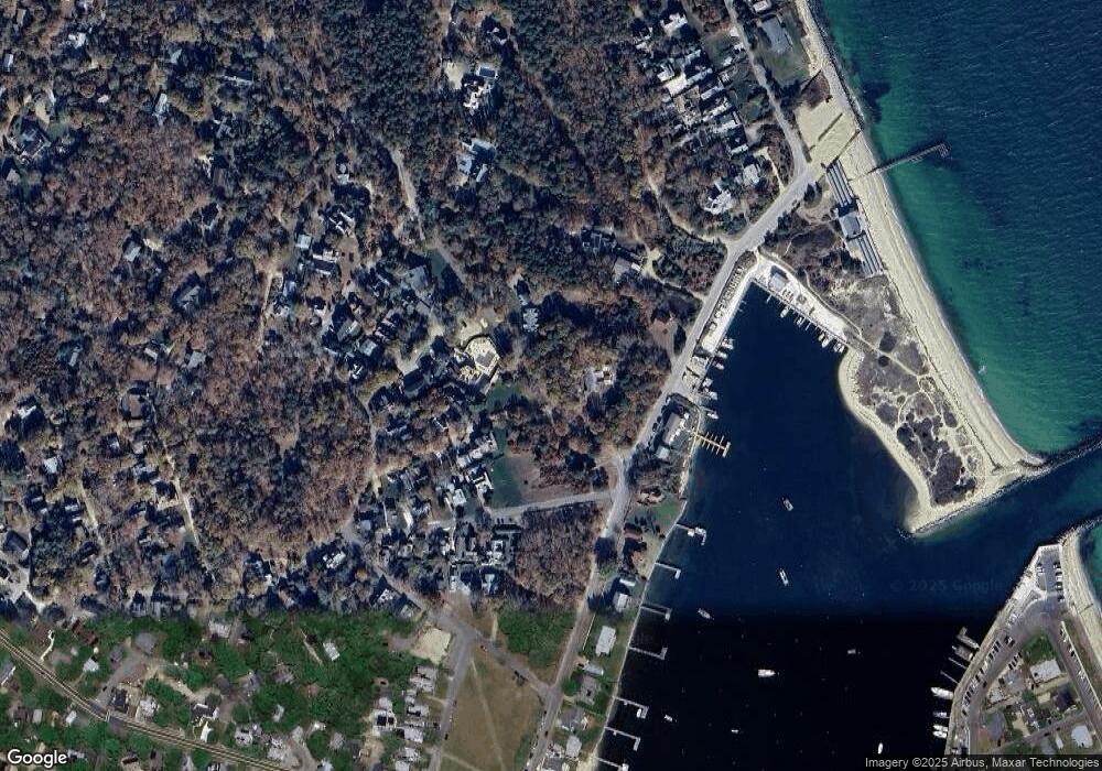
Map
Nearby Homes
- 311 E Chop Dr
- 6 Brewster Ave
- 16 Atlantic Ave
- 150 E Chop Dr
- 5 Temahigan Ave Unit 4-139-0
- 71 Netock Ave
- 17 John Wesley Ave
- 47 Winemack St
- 0 Eastville Ave Unit 147.2 / 3 / 4 / 5 /6
- 12 & 14 Maple Ave
- 23 Laurel Ave
- 111 Eastville Ave
- 47 E Chop Dr Unit 4
- 47 E Chop Dr Unit 2
- 47 E Chop Dr Unit 3
- 47 E Chop Dr Unit 1
- 47 E Chop Dr
- 47 E Chop Dr Unit 5
- 4 Pall Mall St
- 112 Park St
- 112 Park St
- 8 Pall Mall
- 7 Bridge Ave
- 66 Pitch Pine Ln
- 12 Pall Mall St
- 10 Namas Ave
- 11 Bridge Ave
- 26 Pall Mall St
- 116 Winemack St
- 110 Winemack St
- 104 WineMacK Ave and 101 Park St
- 30 Namas Ave
- 30 Namas Ave
- 104 Winemack St
- 12 Bridge Ave
- 2 Bridge Ave
- 6 Bridge Ave
- 115 Winemack St