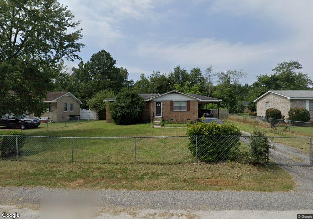
114 Pentax Rd West Columbia, SC 29172
Pine Ridge NeighborhoodEstimated Value: $110,000 - $138,000
3
Beds
2
Baths
1,008
Sq Ft
$125/Sq Ft
Est. Value
About This Home
This home is located at 114 Pentax Rd, West Columbia, SC 29172 and is currently estimated at $125,779, approximately $124 per square foot. 114 Pentax Rd is a home located in Lexington County with nearby schools including Cayce Elementary, R. H. Fulmer Middle, and Airport High School.
Ownership History
Date
Name
Owned For
Owner Type
Purchase Details
Closed on
May 19, 2006
Sold by
Campbell John and Campbell Barbara
Bought by
Gillins Dervel E
Current Estimated Value
Home Financials for this Owner
Home Financials are based on the most recent Mortgage that was taken out on this home.
Original Mortgage
$63,000
Outstanding Balance
$36,570
Interest Rate
6.44%
Mortgage Type
New Conventional
Estimated Equity
$89,209
Purchase Details
Closed on
Aug 12, 2003
Sold by
Smoaks Danette
Bought by
Campbell John
Purchase Details
Closed on
May 9, 2003
Sold by
Abn Amro Mtg Group Inc
Bought by
Hartzog William W
Create a Home Valuation Report for This Property
The Home Valuation Report is an in-depth analysis detailing your home's value as well as a comparison with similar homes in the area
Home Values in the Area
Average Home Value in this Area
Purchase History
| Date | Buyer | Sale Price | Title Company |
|---|---|---|---|
| Gillins Dervel E | $63,000 | None Available | |
| Campbell John | $40,000 | -- | |
| Hartzog William W | $40,000 | -- |
Source: Public Records
Mortgage History
| Date | Status | Borrower | Loan Amount |
|---|---|---|---|
| Open | Gillins Dervel E | $63,000 |
Source: Public Records
Tax History Compared to Growth
Tax History
| Year | Tax Paid | Tax Assessment Tax Assessment Total Assessment is a certain percentage of the fair market value that is determined by local assessors to be the total taxable value of land and additions on the property. | Land | Improvement |
|---|---|---|---|---|
| 2024 | $242 | $1,714 | $360 | $1,354 |
| 2023 | $242 | $1,714 | $360 | $1,354 |
| 2022 | $242 | $1,714 | $360 | $1,354 |
| 2020 | $241 | $1,714 | $360 | $1,354 |
| 2019 | $232 | $1,614 | $280 | $1,334 |
| 2018 | $235 | $1,614 | $280 | $1,334 |
| 2017 | $226 | $1,614 | $280 | $1,334 |
| 2016 | $232 | $1,614 | $280 | $1,334 |
| 2014 | $272 | $2,759 | $280 | $2,479 |
| 2013 | -- | $2,760 | $280 | $2,480 |
Source: Public Records
Map
Nearby Homes
- 14 Yashica Ct
- 20 Mayligh Ct
- 21 Mayligh Ct
- 14 Mayligh Ct
- 13 Mayligh Ct
- 239 Lloydwood Dr
- 12 Deveaux Ct
- 435 Old Plantation Dr
- 314A Lloydwood Dr
- 314 Lloydwood Dr
- 326A Lloydwood Dr
- 324A Lloydwood Dr
- 237 Lloydwood Dr
- 312 Lloydwood Dr
- 308A Lloydwood Dr
- 318 Lloydwood Dr
- 301 Lloydwood Dr
- 309A Lloydwood Dr
- 312A Lloydwood Dr
- 311A Lloydwood Dr
- 116 Pentax Rd
- 112 Pentax Rd
- 3731 Charleston Hwy
- 3735 Charleston Hwy
- 118 Pentax Rd
- 110 Pentax Rd
- 3727 Charleston Hwy
- 3739 Charleston Hwy
- 113 Pentax Rd
- 111 Pentax Rd
- 3723 Charleston Hwy
- 3743 Charleston Hwy
- 120 Pentax Rd
- 108 Pentax Rd
- 128 Argus Cir
- 102 Argus Cir
- 3719 Charleston Hwy
- 3747 Charleston Hwy
- 107 Pentax Rd
- 120 Argus Cir