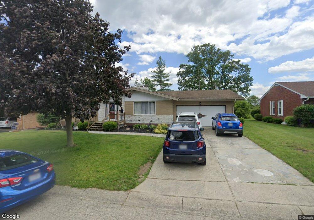
114 Philip Dr West Milton, OH 45383
Estimated Value: $253,000 - $287,000
3
Beds
3
Baths
1,748
Sq Ft
$154/Sq Ft
Est. Value
About This Home
This home is located at 114 Philip Dr, West Milton, OH 45383 and is currently estimated at $268,538, approximately $153 per square foot. 114 Philip Dr is a home located in Miami County with nearby schools including Milton-Union Elementary School, Milton-Union Middle School, and Milton-Union High School.
Ownership History
Date
Name
Owned For
Owner Type
Purchase Details
Closed on
Oct 31, 2019
Sold by
Brandon Jonathan T and Brandon Elisa M
Bought by
Mcguffie Mariah Alexis and Mcguffie Landon
Current Estimated Value
Home Financials for this Owner
Home Financials are based on the most recent Mortgage that was taken out on this home.
Original Mortgage
$188,888
Outstanding Balance
$166,502
Interest Rate
3.7%
Mortgage Type
New Conventional
Estimated Equity
$102,036
Purchase Details
Closed on
Jul 30, 2015
Sold by
Maess Mary E
Bought by
Brandon Jonathan T and Brandon Elisa M
Home Financials for this Owner
Home Financials are based on the most recent Mortgage that was taken out on this home.
Original Mortgage
$107,825
Interest Rate
4.02%
Mortgage Type
Future Advance Clause Open End Mortgage
Purchase Details
Closed on
May 17, 1994
Bought by
Maess Harold W
Create a Home Valuation Report for This Property
The Home Valuation Report is an in-depth analysis detailing your home's value as well as a comparison with similar homes in the area
Home Values in the Area
Average Home Value in this Area
Purchase History
| Date | Buyer | Sale Price | Title Company |
|---|---|---|---|
| Mcguffie Mariah Alexis | $187,000 | First American Mortgage Sln | |
| Brandon Jonathan T | $113,500 | Evans Title | |
| Maess Harold W | -- | -- |
Source: Public Records
Mortgage History
| Date | Status | Borrower | Loan Amount |
|---|---|---|---|
| Open | Mcguffie Mariah Alexis | $188,888 | |
| Closed | Brandon Jonathan T | $107,825 |
Source: Public Records
Tax History Compared to Growth
Tax History
| Year | Tax Paid | Tax Assessment Tax Assessment Total Assessment is a certain percentage of the fair market value that is determined by local assessors to be the total taxable value of land and additions on the property. | Land | Improvement |
|---|---|---|---|---|
| 2024 | $2,553 | $67,870 | $9,730 | $58,140 |
| 2023 | $2,553 | $67,870 | $9,730 | $58,140 |
| 2022 | $2,581 | $67,870 | $9,730 | $58,140 |
| 2021 | $2,290 | $52,220 | $7,490 | $44,730 |
| 2020 | $2,296 | $52,220 | $7,490 | $44,730 |
| 2019 | $2,308 | $52,220 | $7,490 | $44,730 |
| 2018 | $2,273 | $47,990 | $7,490 | $40,500 |
| 2017 | $2,273 | $47,990 | $7,490 | $40,500 |
| 2016 | $2,176 | $47,990 | $7,490 | $40,500 |
| 2015 | $1,758 | $47,040 | $7,350 | $39,690 |
| 2014 | $1,758 | $47,040 | $7,350 | $39,690 |
| 2013 | $1,692 | $47,040 | $7,350 | $39,690 |
Source: Public Records
Map
Nearby Homes
- 16 Duerr Dr
- 664 S Main St
- 634 S Main St
- 100 Whitney Way
- 224 Locust Ln
- 11 Beechnut Dr
- 129 Spring St
- 140 Washington St
- 125 S Miami St
- 5400 Iddings Rd
- 173 Hamilton St
- 173 W Hamilton St
- 111 Hayes St
- 216 N Miami St
- 301 N Spring St
- 323 Poplar St
- 65 June Cir
- 0 W Frederick Garland Rd
- 207 Palm Ct
- 484 N Main St