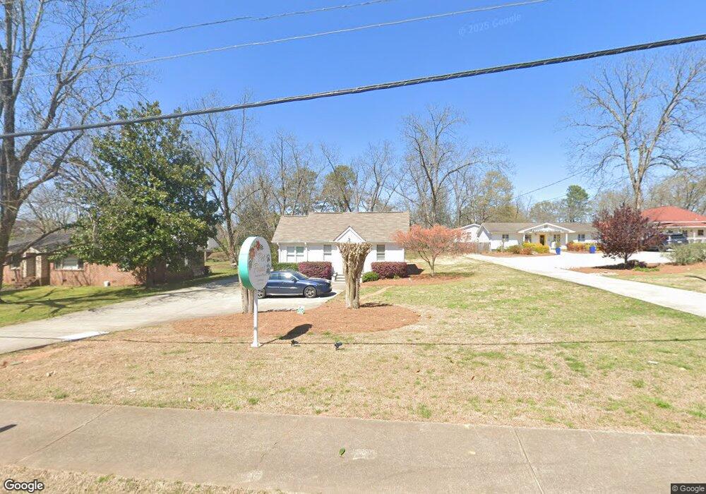
114 Pirkle Ferry Rd Cumming, GA 30040
Estimated Value: $468,113
1
Bed
--
Bath
270
Sq Ft
$1,734/Sq Ft
Est. Value
About This Home
This home is located at 114 Pirkle Ferry Rd, Cumming, GA 30040 and is currently estimated at $468,113, approximately $1,733 per square foot. 114 Pirkle Ferry Rd is a home located in Forsyth County with nearby schools including Cumming Elementary School, Otwell Middle School, and Forsyth Central High School.
Ownership History
Date
Name
Owned For
Owner Type
Purchase Details
Closed on
Jun 27, 2018
Sold by
Harris Marianne M
Bought by
Eversole Holdings Llc
Current Estimated Value
Purchase Details
Closed on
Oct 20, 2016
Sold by
T R
Bought by
Harris Marianne M
Home Financials for this Owner
Home Financials are based on the most recent Mortgage that was taken out on this home.
Original Mortgage
$166,000
Interest Rate
3.48%
Mortgage Type
Commercial
Create a Home Valuation Report for This Property
The Home Valuation Report is an in-depth analysis detailing your home's value as well as a comparison with similar homes in the area
Home Values in the Area
Average Home Value in this Area
Purchase History
| Date | Buyer | Sale Price | Title Company |
|---|---|---|---|
| Eversole Holdings Llc | $260,000 | -- | |
| Harris Marianne M | $205,000 | -- |
Source: Public Records
Mortgage History
| Date | Status | Borrower | Loan Amount |
|---|---|---|---|
| Previous Owner | Harris Marianne M | $166,000 |
Source: Public Records
Tax History Compared to Growth
Tax History
| Year | Tax Paid | Tax Assessment Tax Assessment Total Assessment is a certain percentage of the fair market value that is determined by local assessors to be the total taxable value of land and additions on the property. | Land | Improvement |
|---|---|---|---|---|
| 2025 | $1,873 | $95,840 | $27,748 | $68,092 |
| 2024 | $1,873 | $76,400 | $27,748 | $48,652 |
| 2023 | $1,881 | $76,400 | $27,748 | $48,652 |
| 2022 | $2,044 | $54,548 | $27,748 | $26,800 |
| 2021 | $1,506 | $54,548 | $27,748 | $26,800 |
| 2020 | $1,506 | $54,548 | $27,748 | $26,800 |
| 2019 | $2,513 | $90,880 | $27,748 | $63,132 |
| 2018 | $2,251 | $81,412 | $55,440 | $25,972 |
| 2017 | $1,921 | $81,412 | $55,440 | $25,972 |
| 2016 | $1,610 | $58,004 | $0 | $0 |
| 2015 | $1,613 | $58,004 | $47,520 | $10,484 |
| 2014 | $1,533 | $57,892 | $0 | $0 |
Source: Public Records
Map
Nearby Homes
- 208 Pirkle Ferry Rd
- 116 E Maple St
- 4945 Bay Dr
- 110 Mountain View Dr
- 460 Tribble Gap Rd Unit 604
- 460 Tribble Gap Rd Unit 102
- The Manchester Plan at Brackley - Single Family
- The Maren Plan at Brackley - Single Family
- The Greenville Plan at Brackley - Single Family
- 104 Brackley Dr
- 515 Pearl St
- 112 Brackley Dr
- 102 Birch Tree Way
- 280 Oxford Rd
- 520 Pearl St
- 0 Georgia 400 Unit 7490148
- 513 Godfrey Dr
- 533 Pearl St
- 522 Pearl St
- 528 Pearl St
- 112 Pirkle Ferry Rd
- 118 Pirkle Ferry Rd
- 111 Pilgrim Mill Rd
- 113 Pirkle Ferry Rd
- 205 Pilgrim Mill Rd
- 78 Nestledown Dr
- 3775 Gardenside Ct Unit 21
- 3795 Gardenside Ct
- 3775 Gardenside Ct
- 3795 Gardenside Ct Unit 23
- 3775 Gardenside Ct Unit 22
- 0 Multiple Lots Greystone Trace Subdv Unit 4168219
- 0000 Gates at Castleberry
- 13 Nestledown Farm Dr
- 78 Nestledown Dr Unit 78
- 02 Nestledown Dr
- 078 Nestledown Dr
- 013 Nestledown Dr
- 002 Nestledown Dr
- 12 Nestledown Farm Dr