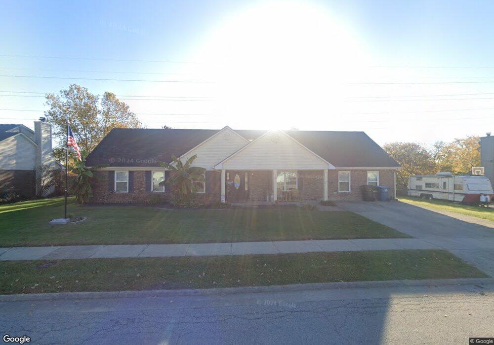
114 Redding Rd Georgetown, KY 40324
South Scott County NeighborhoodEstimated Value: $352,000 - $386,000
3
Beds
3
Baths
2,180
Sq Ft
$168/Sq Ft
Est. Value
About This Home
This home is located at 114 Redding Rd, Georgetown, KY 40324 and is currently estimated at $366,804, approximately $168 per square foot. 114 Redding Rd is a home located in Scott County with nearby schools including Southern Elementary School, Georgetown Middle School, and Scott County High School.
Ownership History
Date
Name
Owned For
Owner Type
Purchase Details
Closed on
May 24, 2006
Sold by
Duncan Homes Llc
Bought by
Curtis Seth C and Curtis Amy L
Current Estimated Value
Home Financials for this Owner
Home Financials are based on the most recent Mortgage that was taken out on this home.
Original Mortgage
$137,200
Outstanding Balance
$78,196
Interest Rate
6.41%
Mortgage Type
New Conventional
Estimated Equity
$288,608
Create a Home Valuation Report for This Property
The Home Valuation Report is an in-depth analysis detailing your home's value as well as a comparison with similar homes in the area
Home Values in the Area
Average Home Value in this Area
Purchase History
| Date | Buyer | Sale Price | Title Company |
|---|---|---|---|
| Curtis Seth C | $171,500 | None Available |
Source: Public Records
Mortgage History
| Date | Status | Borrower | Loan Amount |
|---|---|---|---|
| Open | Curtis Seth C | $137,200 |
Source: Public Records
Tax History
| Year | Tax Paid | Tax Assessment Tax Assessment Total Assessment is a certain percentage of the fair market value that is determined by local assessors to be the total taxable value of land and additions on the property. | Land | Improvement |
|---|---|---|---|---|
| 2025 | $2,190 | $295,000 | $0 | $0 |
| 2024 | $2,040 | $273,200 | $0 | $0 |
| 2023 | $2,349 | $259,100 | $40,000 | $219,100 |
| 2022 | $1,946 | $228,900 | $35,000 | $193,900 |
| 2021 | $2,072 | $220,000 | $35,000 | $185,000 |
| 2020 | $1,585 | $184,500 | $35,000 | $149,500 |
| 2019 | $1,610 | $184,500 | $0 | $0 |
| 2018 | $1,554 | $179,100 | $0 | $0 |
| 2017 | $1,480 | $169,700 | $0 | $0 |
| 2016 | $1,366 | $169,700 | $0 | $0 |
| 2015 | $1,358 | $169,700 | $0 | $0 |
| 2014 | $1,407 | $169,700 | $0 | $0 |
| 2011 | $106 | $171,500 | $0 | $0 |
Source: Public Records
Map
Nearby Homes
- 512 Pocahontas Trail
- 809 Pocahontas Trail
- 113 Walden Cove Unit 3I
- 1215 Seminole Trail
- 232 W Showalter Dr
- 264 W Showalter Dr
- 251 W Showalter Dr
- 111 Hillside Dr
- 206 Hiawatha Trail
- 106 Somerset Cove
- 199 Hawthorne Dr
- 1117 Pawnee Trail
- 115 Victor Place
- 104 Bronte Place
- 208 Montgomery Ave
- 117 Christal Dr
- 107 Oconner Ct
- 1026 Parkside Dr
- 110 Sea Pines Way
- 111 E College St
- 112 Redding Rd
- 116 Redding Rd
- 110 Redding Rd
- 113 Redding Rd
- 109 Redding Rd
- 118 Redding Rd
- 115 Redding Rd
- 108 Redding Rd
- 107 Redding Rd
- 106 Redding Rd
- 210 Hutchins Dr
- 120 Redding Rd
- 1115 Choctaw Trail
- 119 Redding Rd
- 104 Redding Rd
- 1117 Choctaw Trail
- 1110 Nathaniel Ct
- 105 Redding Rd
- 1113 Choctaw Trail
- 208 Hutchins Dr
Your Personal Tour Guide
Ask me questions while you tour the home.