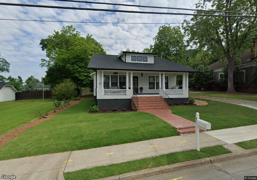
114 Rhudy St Carrollton, GA 30117
Estimated Value: $313,860 - $359,000
2
Beds
2
Baths
1,808
Sq Ft
$182/Sq Ft
Est. Value
About This Home
This home is located at 114 Rhudy St, Carrollton, GA 30117 and is currently estimated at $328,465, approximately $181 per square foot. 114 Rhudy St is a home located in Carroll County with nearby schools including Carrollton Elementary School, Carrollton Upper Elementary School, and Carrollton Middle School.
Ownership History
Date
Name
Owned For
Owner Type
Purchase Details
Closed on
May 13, 2022
Sold by
Redding Jeffrey J
Bought by
Griffith Alicia Goff
Current Estimated Value
Purchase Details
Closed on
Sep 15, 2020
Sold by
Redding Grace J
Bought by
Grillo Robyn and Redding Jeffrey J
Purchase Details
Closed on
Mar 31, 2005
Sold by
Redding Jimmy H
Bought by
Redding Grace J
Purchase Details
Closed on
Dec 1, 1997
Sold by
Grillo John L and Grillo Roby
Bought by
Redding Jimmy H and Redding Grace
Purchase Details
Closed on
Jun 18, 1996
Sold by
Burnett
Bought by
Grillo John L and Grillo Roby
Purchase Details
Closed on
Jun 14, 1996
Sold by
Burnett Mess Sarah
Bought by
Burnett
Purchase Details
Closed on
May 25, 1994
Bought by
Burnett Mess Sarah
Create a Home Valuation Report for This Property
The Home Valuation Report is an in-depth analysis detailing your home's value as well as a comparison with similar homes in the area
Home Values in the Area
Average Home Value in this Area
Purchase History
| Date | Buyer | Sale Price | Title Company |
|---|---|---|---|
| Griffith Alicia Goff | $300,000 | -- | |
| Grillo Robyn | -- | -- | |
| Redding Grace J | -- | -- | |
| Redding Jimmy H | $60,000 | -- | |
| Grillo John L | $64,000 | -- | |
| Burnett | -- | -- | |
| Burnett Mess Sarah | -- | -- |
Source: Public Records
Tax History Compared to Growth
Tax History
| Year | Tax Paid | Tax Assessment Tax Assessment Total Assessment is a certain percentage of the fair market value that is determined by local assessors to be the total taxable value of land and additions on the property. | Land | Improvement |
|---|---|---|---|---|
| 2024 | $2,472 | $90,465 | $17,272 | $73,193 |
| 2023 | $2,472 | $83,817 | $17,272 | $66,545 |
| 2022 | $430 | $61,429 | $11,515 | $49,914 |
| 2021 | $384 | $51,331 | $8,517 | $42,814 |
| 2020 | $366 | $47,039 | $8,517 | $38,522 |
| 2019 | $360 | $43,837 | $8,517 | $35,320 |
| 2018 | $354 | $39,879 | $8,517 | $31,362 |
| 2017 | $359 | $39,879 | $8,517 | $31,362 |
| 2016 | $360 | $39,879 | $8,517 | $31,362 |
| 2015 | $288 | $30,904 | $6,000 | $24,905 |
| 2014 | $291 | $30,905 | $6,000 | $24,905 |
Source: Public Records
Map
Nearby Homes
- 110 Town Walk Ln
- 0 Ward St Unit 10390499
- 205 Johnson Ave Unit 231
- 103 W Chandler St
- 108 Springwood Dr
- 405 N Park St
- TRACT1-7 Us Highway 27
- 541 N White St Unit 12
- 541 N White St
- 777 College St
- 322 Cedar St
- 120 Stewart St
- 301 C4 Bradley St
- 201 Stewart St
- 301 Bradley St
- 109 S Park St
- 654 King St
- 123 Cedar Park Way
- 119 Oxford Square
- 27 South St
- 118 Rhudy St
- 605 Rome St
- 0 Rhudy St Unit 8728892
- 0 Rhudy St Unit 9001320
- 0 Rhudy St Unit 8792757
- 0 Rhudy St Unit 8337696
- 0 Rhudy St Unit 8337118
- 601 Rome St
- 122 Rhudy St
- 45 Rhudy St
- 35 Rhudy St
- 25 Rhudy St Unit 2
- 123 Brown St
- 128 Rhudy St Unit 130
- 30 E Reese St
- 535 Rome St
- 619 Rome St
- 20 E Reese St
- 20 E Reese St Unit 6
- 122 E Reese St